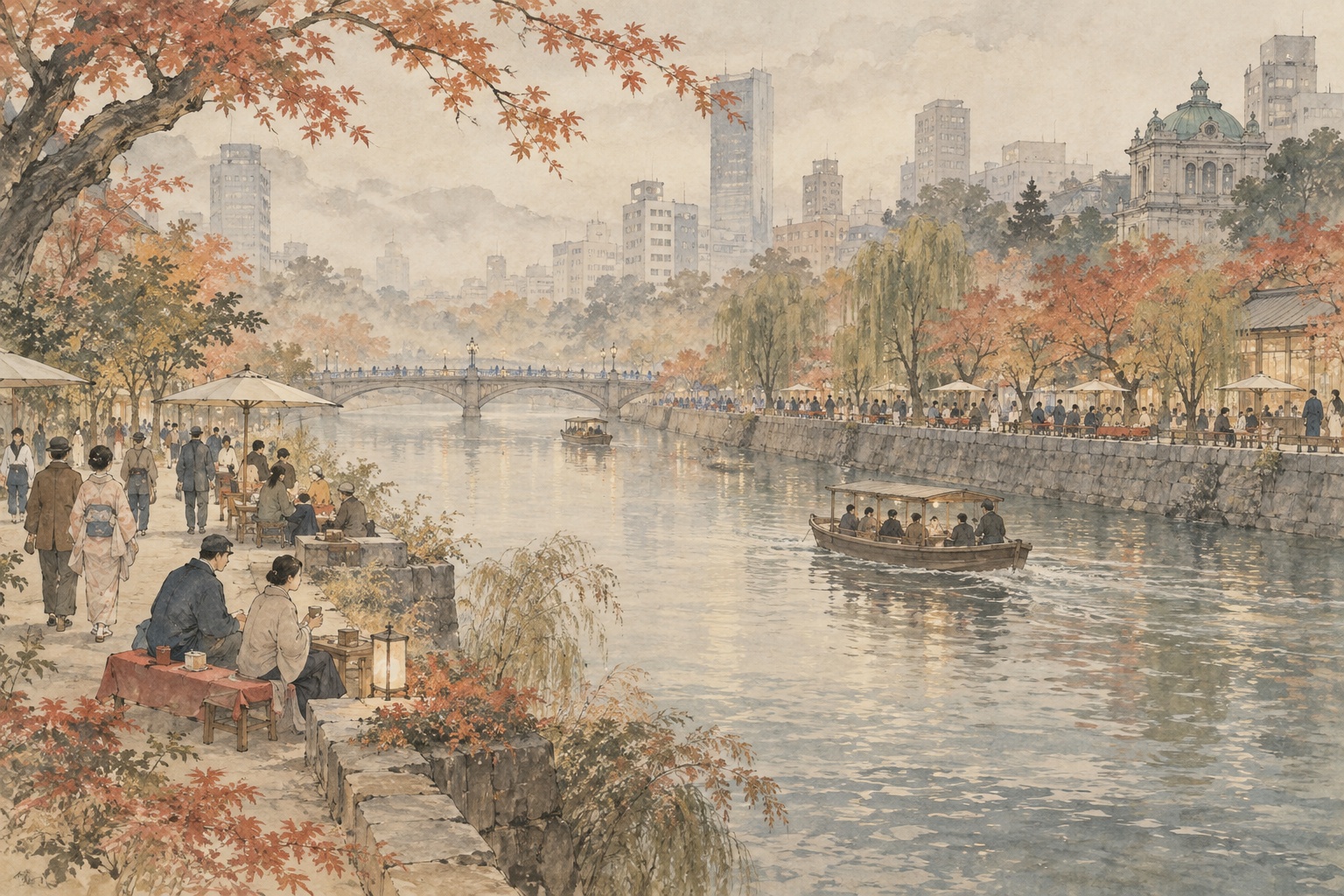
Higashiyokobori River is not Osaka’s postcard waterfront. Unlike Dotonbori, its surface runs beneath long stretches of the Hanshin Expressway. High flood-protection walls line the banks, and many buildings spent decades turning their backs toward the water. That is precisely why the city’s next experiment matters. From October 9 to November 8, “Higashiyokobori River ING 2026 Autumn” will use the corridor from Koraibashi to the Nouninbashi area to test design issues, future use and long-term maintenance of the waterfront. It is formally a social experiment, not simply a festival.[1] [2]
Osaka’s stated goal is not to turn the river into another tourist spectacle. Its waterfront policy calls for a place “rooted in daily life”: a roughly 2.45-kilometer north-south corridor between Nakanoshima and Dotonbori that is open to citizens, usable on land and water, and gradually “grown” through public-private collaboration. The autumn experiment translates that ambition into practical questions about entrances, seating, shade, stairs, shops, cleaning, programming and responsibility.[3] [4]
Osaka’s oldest canal began as a castle moat
The river dates to Toyotomi Hideyoshi’s construction of Osaka Castle. The city’s official history says it was cut in 1585 as an outer defensive moat and was initially known as Shinbori, or “new canal.” Only after the later creation of Nishiyokobori did it become Higashiyokobori — the eastern canal. Osaka today identifies it as the city’s oldest surviving canal.[4] [5]
Its function quickly became commercial as well as defensive. The canal separated the samurai districts on the Uemachi side from the merchant districts of Semba and Shimanouchi, while boats used it to move goods through the growing city. During the Edo period, twelve cargo-handling waterfronts known collectively as Higashiyokobori Junihama divided part of the river into working sections. The canal network helped sustain Osaka’s rise as the “nation’s kitchen.”[4]
Hommachi Bridge preserves that layered history. A bridge is believed to have stood there soon after the canal was cut, and fighting occurred nearby during the Siege of Osaka. Under the Tokugawa shogunate it became one of the government-maintained public bridges connecting Semba with Osaka Castle. The present steel arch bridge dates to 1913 and is regarded by the city as Osaka’s oldest road bridge still in active service.[5] [6]
The infrastructure that protected and moved Osaka also separated it from the water
The decline of everyday river life was not simply neglect. After the war, freight shifted from boats to roads. In 1967, Higashiyokobori became part of the route of the Hanshin Expressway Osaka Loop Line, putting elevated roadway above the water. In 1977, steel-sheet flood walls were completed as protection against storm surge and flooding. Both projects served clear transport and safety functions. Together, they widened the physical and psychological distance between the city and the river.[4]
Osaka’s own waterfront policy describes the result bluntly: high embankments separated city and water, buildings turned their backs to the river, and the corridor became closed and difficult to approach. Yet the same document treats the enclosed character created by expressway, buildings and water as a potential asset as well as a weakness — a place that can feel intimate and sheltered if darkness, access and maintenance are handled well.[4]
River gates changed what could be built at the edge
Any effort to bring people closer to the water begins with flood control. In 2001, Osaka completed river gates at the ends of the Higashiyokobori–Dotonbori system. The gates protect against storm surge and also allow water levels within the enclosed reach to be controlled within a narrower range. That creates more flexibility in the height and design of waterside structures than the older high-wall system allowed.[4]
The gates also contain locks, allowing boats to pass even when water levels differ upstream and downstream. The city continues to operate navigation through both Higashiyokobori and Dotonbori gates by advance application. Waterfront access therefore has to coexist with a functioning navigation and flood-control system.[10]
Seismic safety remains another non-negotiable condition. Osaka’s policy places earthquake-resistant bank reconstruction at the foundation of the waterfront program, including preparation for a Nankai Trough megathrust event. “More accessible” cannot mean “less protective.”
β Hommachi Bridge helped turn “riverside” into a destination
A major step came in August 2021 with the opening of β Hommachi Bridge, operated by a private-sector group selected through a public process. Osaka cites the facility as a turning point in growing momentum for waterfront use. Food, events, boat activity and neighborhood programming began giving people reasons to stay beside a river that had often functioned mainly as infrastructure.[4]
The name “Higashiyokobori River ING” itself is deliberately unfinished. Project material says the “ING” represents the accumulation of people’s activities and ideas — an ongoing process of opening the waterfront spatially and socially and restoring the river as part of the value of the neighborhood.[11]
That matters because the strategy is experimental by design. Rather than first building a finished park and then hoping people use it, organizers put temporary uses into the space, watch how people behave, record the problems and feed those observations back into the next design.
The experiments measure failure as carefully as popularity
The 2025 autumn river-terrace experiment produced useful numbers. Osaka’s review says a terrace deck was used by 188 people over five days. Eighty-eight percent of surveyed users said they would like to use the café-terrace offer either regularly or occasionally in the future. Ninety-two percent rated the waterside terrace arrangement positively or somewhat positively.[7]
But the report is more interesting for what did not work. During the day, a lack of shade caused some people to abandon the terrace for indoor seating. Twenty-three percent of users cited poor access as a dissatisfaction. Entrances were described as narrow or difficult to find. Comments about the greenway included darkness, litter, visible smoking and an aging environment. The city concluded that stronger connections from bridges and bridgeheads, better wayfinding and heat mitigation were needed.[7]
| Measure | Result |
|---|---|
| River-terrace deck use | 188 people over five days |
| Would use café terrace again | 88% |
| Positive view of waterside terrace setting | 92% |
| Cited poor access as a dissatisfaction | 23% |
That is the logic of a useful public-space experiment. A full café is not enough evidence. Which seats are chosen? Which entrance is missed? Where is it too hot? Where does the space feel dirty, dark or unsafe? Those observations can become specifications for the next round of permanent design.
Spring 2026 tested not only events, but the buildings facing the river
In May, ING 2026 Spring around β Hommachi Bridge included the “Under the Big Tree” market, a children’s school with hands-on work experiences, and a “Riverside Renovation Meeting” built around walks, workshops and discussion of waterfront properties. Osaka also described private-sector participation as one of the issues being tested.[8] [9]
That expansion beyond the riverbank is significant. A city can build a pleasant path, but if every adjacent building still presents a blank wall, loading door or fenced edge, the waterfront will remain disconnected. Entrances, terraces, ground-floor businesses, vacant-building renovation and the economic interests of property owners all shape whether daily activity turns toward the water.
Autumn 2026 widens the test from Koraibashi to Nouninbashi
The October experiment covers the Koraibashi-to-Nouninbashi area and is organized by the Higashiyokobori River Waterfront Platform. Osaka says the purpose is to test issues involved in creating attractive waterfront space and to examine design questions linked to future use and maintenance.[1] [2]
As of the September 12 reporting cutoff, the city’s main public page confirms the dates, area, organizer and testing purpose, while directing readers to a separate leaflet for detailed individual programs. Japan.co.jp therefore does not treat the spring program list as an autumn schedule. The more consequential question is how lessons from the earlier trials are translated into better access, more durable management and a space that works outside event hours.
The hardest part of public space is not the chair — it is the operating model
Photos of waterfront renewal naturally focus on furniture, planting, lighting and stairs. But a public space that remains usable every day needs someone to unlock gates, remove trash, repair damaged equipment, manage smoking and noise, negotiate business use, protect emergency access and coordinate with river navigation.
That is why Osaka’s autumn announcement explicitly includes long-term maintenance. Higashiyokobori remains a Class A river, a flood-defense system and a neighborhood environment. Every improvement in accessibility creates another management responsibility.
- Whether entrances from bridges and streets become easier to find and use.
- How the design handles both expressway darkness and the lack of daytime shade in exposed sections.
- Whether eating, resting, play and boat activity can coexist without conflict.
- Whether local businesses and private operators can participate in maintenance after the programmed events end.
- How lower, more accessible waterfront spaces are integrated with seismic and flood-protection upgrades.
A “river of daily life,” not another Dotonbori
Higashiyokobori does not need to become Dotonbori. Osaka’s own planning document identifies its mixed residential-and-commercial surroundings as a defining characteristic. It lies between major visitor destinations but remains fundamentally a place of daily life.[3]
That gives the river a different measure of success. A dog walker in the morning, an office worker eating lunch, a family stopping after school, a small riverside shop, and a boat passing beneath the bridge do not produce the spectacle of a tourist district. Together, however, they can create something harder to manufacture: routine.
In 1585, Higashiyokobori was built as a boundary around a castle. In the twentieth century, the expressway and flood walls created a new boundary between water and city. The experiments of 2026 are not attempting to erase those layers. They are testing whether doors, stairs, seats, businesses and repeated everyday use can make the boundary more permeable — and turn a river that Osaka engineered for defense and transport back into a place where people choose to stay.
- City of Osaka: announcement of Higashiyokobori River ING 2026 Autumn, Sept. 10, 2026
- City of Osaka: event page for Higashiyokobori River ING 2026 Autumn
- City of Osaka: Basic Policy for Creating Attractive Waterfront Spaces along Higashiyokobori River and related reaches
- City of Osaka: detailed basic-policy document, history and river conditions
- Osaka Chuo Ward: Hommachi Bridge and the history of Higashiyokobori River
- City of Osaka: Hommachi Bridge history and specifications
- City of Osaka: review of the Higashiyokobori River Terrace 2025 Autumn experiment
- City of Osaka: Higashiyokobori River ING 2026 Spring experiment
- β Hommachi Bridge: program details for ING 2026 Spring
- City of Osaka: navigation through Higashiyokobori and Dotonbori river gates
- Higashiyokobori River ING: project concept and Hommachi Bridge area history
Editorial note: Detailed individual programs for ING 2026 Autumn are referred by Osaka City to a separate leaflet. As of the September 12 reporting cutoff, this article treats the dates, area, organizer and stated testing objectives on the city's public announcement page as confirmed facts. Spring 2026 programs are presented as past examples, not as an autumn schedule. Survey figures from 2025 are historical results, not forecasts for 2026.