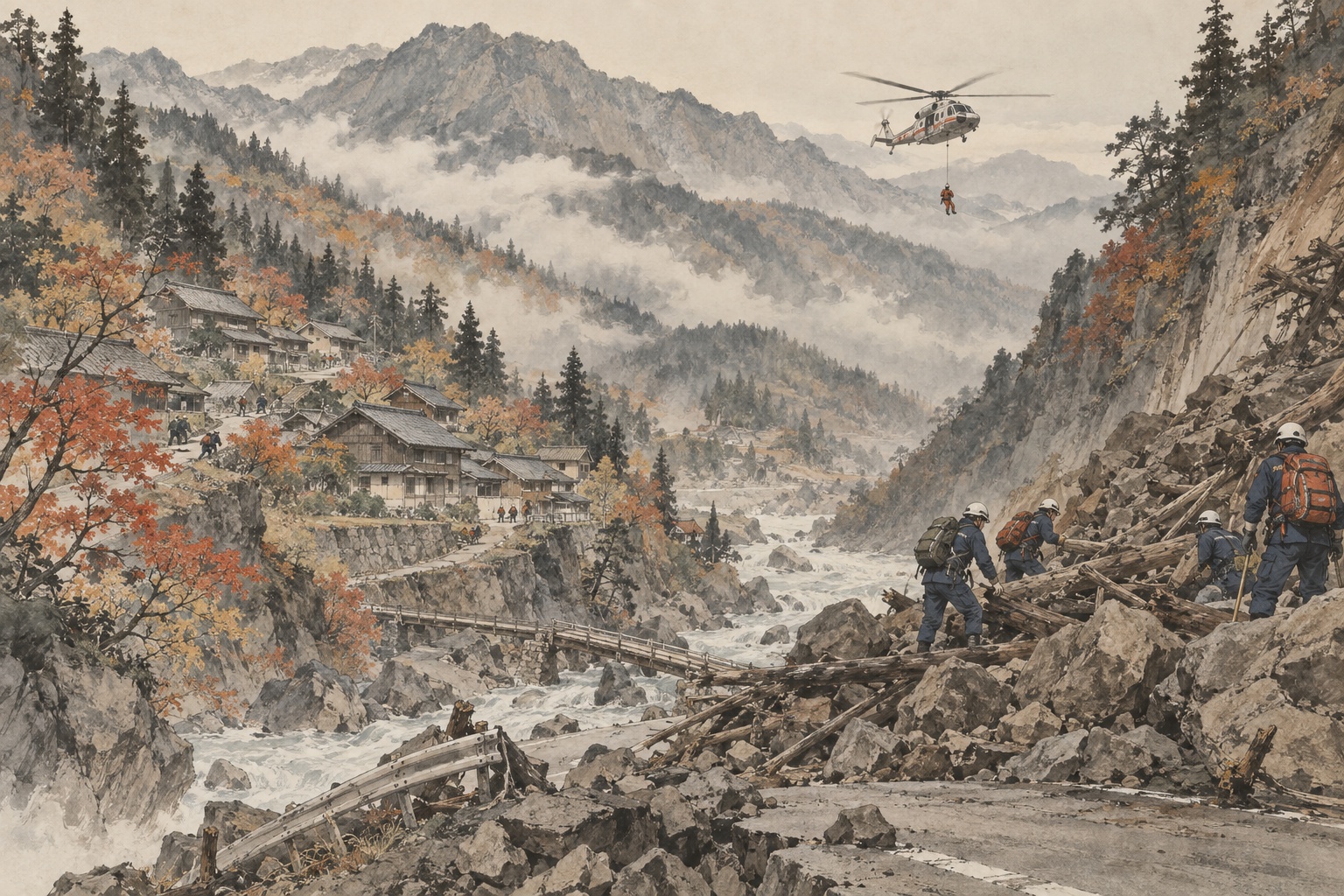
When a mountain road collapses and both mobile and fixed-line phones fail, the first question for emergency managers is almost embarrassingly basic: how many people are still there? During the January 2024 Noto Peninsula earthquake, even that number was difficult to establish in some communities. Ishikawa Prefecture’s review says isolation peaked at 24 districts and 3,345 people. Roads and communications failed together, leaving officials uncertain about who needed rescue, whether seriously ill residents were present, and what supplies each cut-off settlement lacked.[4] [5]
Japan has been converting that failure into a recurring training system. Beginning in fiscal 2025, the Cabinet Office worked with local governments on isolation-awareness and support drills at 16 locations across the country. The premise was intentionally harsh: transport and communications are both interrupted. On September 10, the government announced the FY2026 earthquake, tsunami and isolated-community disaster-drill program, continuing the effort into a second year.[1] [2] [12]
Noto’s first shortage was information
A Wajima official interviewed for Ishikawa’s disaster archive described a profound early problem: nobody outside knew what was happening inside some isolated communities. Fixed lines did not work. Mobile service was unreliable. Officials sometimes inferred that a settlement must be cut off simply because a road beyond a landslide could no longer be reached. Information arrived when residents crossed debris on foot, or when Self-Defense Force personnel entered and brought back counts and conditions.[5]
Without that information, logistics become guesswork. Is the population ten people or one hundred? Is someone injured or in urgent need of a hospital? Is the immediate shortage water, food, kerosene, medication or generator fuel? Can a helicopter land, or must it hoist people from above? Before any of those questions can be answered, someone has to establish contact.
Noto used ground reconnaissance, helicopter supply, satellite phones and other measures. Yet Ishikawa’s own review noted that even after satellite phones were distributed, some residents were unfamiliar with operating them and communication remained difficult. Owning emergency technology is not the same as being able to use it under stress. Training is part of the equipment.[4]
One broken road can turn a mapped settlement into an island
Noto’s geography amplified the problem. Roads follow steep terrain around a peninsula bordered by sea on three sides. Landslides, collapsed pavement, tsunami debris and severe steps in the road broke the network in multiple places. Ishikawa coordinated road clearance with rescue and supply priorities. Formal isolation was resolved by January 19, but some communities still required continued support while access remained fragile.[4]
The practical question is therefore larger than repairing the main road. Can a forestry or farm road serve as a detour? Is there a foot route? Is there open ground where a helicopter can land? If not, is there a safe hoist point? Nagano City, responding to the Noto lessons, has begun building community-by-community “isolation risk cards” for 275 settlements, recording population, households, people needing assistance, communications, shelters, stockpiles, helipads and possible alternate routes.[10]
That kind of peacetime inventory looks bureaucratic until a disaster happens. Then it eliminates searches. Alternate roads have already been inspected. Base population and vulnerable-resident information exist. Emergency managers are less dependent on the memory of one local official who may himself be unable to reach the office.
Japan has been relearning this lesson for more than two decades
Noto was not the first disaster to expose community isolation. The October 2004 Niigata Chuetsu earthquake isolated 61 districts according to the Cabinet Office. In former Yamakoshi Village, all 14 settlements across five districts were cut off. With winter approaching and secondary hazards feared, more than 2,000 residents were evacuated from the village, largely by Self-Defense Force and other helicopters beginning on October 25.[8] [9]
After Chuetsu, the national government studied the special problems of dispersed mountain communities: communications with isolated settlements, supplies and rescue, resilient community preparation, and failure of roads and lifelines. Other disasters — the 2008 Iwate-Miyagi inland earthquake, heavy rain in Amami, the Great East Japan Earthquake and the Kii Peninsula floods — repeated the pattern.[7] [9]
A 2014 Cabinet Office follow-up survey still counted 17,212 agricultural settlements as having potential for isolation. At that time only 48.1% reported some means of emergency communication, 7.4% had satellite phones, and 10.3% had an evacuation plan or manual. Drinking-water stockpiles were reported in 5.0% and staple-food stockpiles in 7.4%. The figures are old and should not be presented as today’s national readiness level, but they show how deeply the problem was embedded long before Noto.[7]
Noto changed the standard: isolation can no longer be treated as unexpected
Ishikawa’s review identified a basic planning failure: insufficient assumption that communities would become isolated. Some settlements at risk, evacuation destinations and evacuation methods had not been fully planned in advance. Communications failure made population counts difficult. Rescue information was not always shared quickly enough, so teams sometimes discovered only on arrival that residents had already been evacuated.[4]
The Cabinet Office’s FY2025 program was a direct response. Sixteen locations — from Sannohe in Aomori and Oga in Akita to Yamakita in Kanagawa, Chihayaakasaka in Osaka, Totsukawa in Nara and Uruma in Okinawa — carried out drills built around the assumption that roads and communications were unavailable.[2] [3]
The details varied by geography. In Osaka’s Chihayaakasaka Village, the exercise combined evacuation and guidance, information transmission, shelter opening and operation, rescue, initial firefighting, drone delivery of supplies and food preparation. Residents, voluntary disaster organizations, the fire brigade, fire service, police, Osaka Prefecture, the Ground Self-Defense Force and the social-welfare council all took part. A pre-exercise workshop also rehearsed community coordination for individual evacuation planning.[11]
Drones add another layer of air logistics — they do not replace helicopters
Helicopters were indispensable in Noto for moving urgent patients and supplies. But crewed aircraft are limited by availability, weather, landing sites and competing priorities. That is why small drones are increasingly appearing in isolation-response exercises.
A drone cannot sustain an entire village with water and food for days. Its payload is tiny beside a helicopter. But it may deliver medicine, batteries, communications devices or a small urgent package before road access returns. It can also inspect a collapsed route from above. The meaningful test is not whether a drone flies for a demonstration; it is whether planners know who operates it, what weather limits apply, whether radio links work, and where residents safely receive the cargo.
Satellite communications are only one layer
Satellite phones and satellite internet were important in Noto. The Wajima account is explicit about the value of communications: if officials know the population, urgent medical cases, equipment needs and landing conditions, they can decide what size of helicopter is necessary and how many sorties to plan.[5]
But resilient communications should not rely on one device. Satellite phones, municipal disaster radio, fire-brigade radio, portable satellite terminals, IP links, amateur radio and even physical messengers can provide overlapping layers. Batteries fail. Antennas need a view of the sky. Residents forget operating procedures. Drills therefore need to test not only whether a connection can be made, but who knows how to make it, how long power lasts, and what happens when the first system fails.
- Who counts residents and people needing assistance immediately after the disaster.
- How the community communicates when ordinary mobile service fails.
- Which forestry roads, farm roads or foot routes remain possible when main access roads fail.
- Where helicopters can land or hoist, and where drones can safely deliver.
- How many days of water, food, medicine, fuel and sanitation supplies are locally available.
- How elderly residents, dialysis patients, pregnant women and other high-risk people are prioritized for evacuation.
- How a whole-community evacuation can preserve social ties rather than scattering residents randomly.
Evacuation sometimes has to be planned by community, not person by person
In Noto, isolated residents were moved to hotels and wider-area shelters. Ishikawa highlights examples of “whole-community evacuation” designed to maintain community ties. The principle has a longer history. After the 2004 Chuetsu earthquake, Yamakoshi residents were organized by settlement in evacuation centers and later in temporary housing to preserve relationships and support eventual return.[4] [8]
Isolation also does not necessarily end the day one road reopens. A clinic may still be closed. Water may not flow. Heating fuel may not arrive. Older residents may not be able to return. A mature isolation plan therefore extends beyond rescue into secondary evacuation, continued supply and community continuity.
FY2026 is the second year of national-scale drills
On September 10, the Cabinet Office announced the FY2026 earthquake, tsunami and isolated-community disaster-drill program. The FY2026 budget material states the purpose plainly: conduct rapid-support exercises in areas where transportation and communications may be cut during disaster, improving local response capability.[1] [12]
At Japan.co.jp’s September 12 reporting cutoff, the Cabinet Office’s dedicated online archive still listed the completed FY2025 exercises rather than a full FY2026 site-by-site schedule. This article therefore does not copy last year’s 16 locations forward as if they were the 2026 locations. What is confirmed is the September 10 announcement of the FY2026 program and the government’s continuing policy of turning Noto’s isolation lessons into practical drills.
The goal is not “no community will ever be isolated”
Stronger roads, stabilized slopes and earthquake-resistant bridges are the first layer of prevention. Yet no infrastructure program can promise that every mountain, peninsula and island road will remain open in a major earthquake or extreme rainfall event.
The deeper change in Japan’s approach is to assume isolation can happen and prepare the hours or days that follow: redundant communications, local stockpiles, air delivery, evacuation priorities, resident lists and shared information. That is not surrender to infrastructure failure. It is an attempt to prevent a broken road from becoming a medical or humanitarian catastrophe.
In 2004, Yamakoshi showed how an entire village could become unreachable and require helicopter evacuation. In 2024, Noto showed that modern communications could fail alongside roads and leave officials rebuilding a map of isolated people almost settlement by settlement. The drills Japan is running in 2026 are an effort to stop relying on improvisation alone. Before the next community becomes an island, the country wants each region to know who calls, who carries, who flies and who leaves first.
- Cabinet Office disaster-management site: FY2026 earthquake, tsunami and isolated-community drills announcement, Sept. 10, 2026
- Cabinet Office: 2026 White Paper on Disaster Management — FY2025 isolation-awareness and support drills at 16 locations
- Cabinet Office: isolation-awareness and support drill program — FY2025 sites and results
- Ishikawa Prefecture Noto archive: isolation response — maximum 24 districts and 3,345 people
- Ishikawa Prefecture: Wajima account of communications failure, resident lists, helicopter support and lessons
- Cabinet Office: review team on emergency response to the 2024 Noto Peninsula earthquake
- Cabinet Office: 2014 follow-up survey of communities with isolation potential
- Cabinet Office: 20 years after the 2004 Niigata Chuetsu earthquake — Yamakoshi isolation and whole-village evacuation
- Cabinet Office: 2006 White Paper — 61 districts isolated in the Chuetsu earthquake
- Cabinet Office: Nagano City's community-by-community isolation risk cards
- Cabinet Office: Chihayaakasaka Village drill — communications, rescue and drone supply transport
- Cabinet Office: FY2026 budget — isolated-community disaster drill program
Editorial note: The Cabinet Office announced the FY2026 drill program on September 10, 2026. At the September 12 reporting cutoff, its dedicated site-by-site archive still displayed the FY2025 locations, so this article does not present last year's 16 sites as the FY2026 schedule. The national preparedness percentages cited from the 2014 survey are historical context, not current readiness estimates.