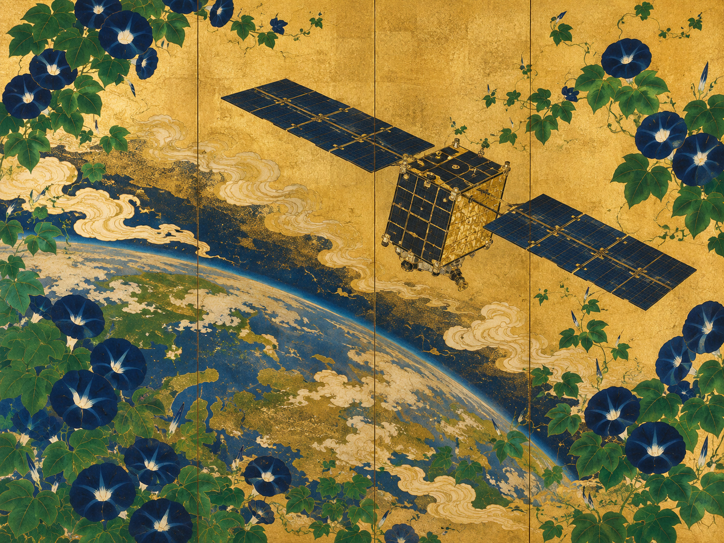
At 10:04 p.m. Japan time on August 20, a black Electron rocket left Rocket Lab’s Launch Complex 1 on New Zealand’s Māhia Peninsula carrying a single Japanese satellite. Roughly 50 minutes later, QPS-SAR-18 separated into its planned orbit. Then came the part that could not be photographed from the ground: waiting for the spacecraft to answer.
About 40 minutes after separation, the control team in Fukuoka established the first communication with the satellite, nicknamed SUSANOO-II. Institute for Q-shu Pioneers of Space, Inc.—better known in Japan as QPS Research Institute or iQPS—said telemetry showed the spacecraft’s equipment operating normally and the satellite in good health.
The mission had succeeded at its first threshold. But it had not yet become an Earth-imaging satellite.
That comes next. The spacecraft must complete adjustment and checkout, unfold the large radar antenna that makes QPS-SAR unusual, and then acquire its first images. The distinction matters. Rockets make the spectacular part of a satellite mission visible. Constellations are built in the quiet sequence afterward: separation, contact, power, attitude control, antenna deployment, calibration, first light, routine tasking, data delivery.
A satellite that carries its own flashlight
Most familiar Earth imagery begins with reflected sunlight. A camera in orbit looks down and records visible or infrared energy coming from the surface. The images can be intuitive and beautiful, but cameras inherit the weaknesses of ordinary vision: darkness and cloud can take the scene away.
Synthetic aperture radar works differently. The satellite sends microwave pulses toward Earth and measures the echoes that return. It supplies its own illumination. That means a SAR satellite can observe at night and through most cloud and weather conditions that block optical sensors. The brightness in a radar image is not simply “light” and “dark” in the photographic sense; it represents the strength and geometry of radar backscatter, which changes with surface roughness, moisture, structure and viewing angle.
The word synthetic is the clever part. A physically small antenna moving along an orbit records many radar echoes from the same ground target at slightly different positions. Precise processing combines that history as though the system had used an antenna far longer than the hardware itself. NASA traces the key idea to 1951, when Goodyear engineer Carl Wiley recognized that Doppler shifts could sharpen a radar beam. By 1957, researchers had produced early SAR imagery. Spaceborne radar became a major Earth-observation tool with missions such as NASA’s Seasat in 1978.
Japan has its own long radar-observation lineage. JERS-1, launched in 1992, carried both optical sensors and an L-band synthetic-aperture radar. JAXA’s ALOS “Daichi,” launched in 2006, carried PALSAR and supported disaster-management work in the Asia-Pacific. QPS is not inventing radar observation. It is trying to alter the economics and revisit time.
The ambition is not merely to take a sharper picture. It is to make an all-weather radar picture available often enough that the Earth begins to look less like an archive and more like a changing system.
The small-satellite problem was the antenna
SAR is powerful, but historically it has not been small. Radar needs electrical power, radio-frequency hardware and an antenna large enough to send and collect useful microwave energy. Traditional spaceborne SAR systems can weigh well over a tonne. JERS-1, for example, weighed about 1,340 kilograms and carried a radar antenna roughly 12 meters by 2.5 meters.
The iQPS answer was to make the antenna disappear during launch.
The company’s patented deployable antenna folds to roughly 80 centimeters in diameter, then opens in orbit to about 3.6 meters. iQPS says the development involved more than 100 prototypes and hundreds of tests. From the third-generation satellite onward, more ribs were added to improve the antenna surface and radar performance.
That architecture allowed the company to keep QPS-SAR in the 100-kilogram class while still pursuing high-resolution X-band radar imaging. iQPS reports two principal modes: a wider stripmap mode at about 1.8-meter resolution and a focused spotlight mode below 50 centimeters; the company has published first-light imagery with ground-plane resolution around 46 centimeters.
iQPS describes the result as roughly one-twentieth the mass and one-hundredth the cost of conventional SAR satellites. Those are company comparisons rather than universal engineering constants, because “conventional SAR satellite” covers many designs and eras. But the direction is not in dispute: smaller spacecraft and dedicated small rockets change how frequently radar satellites can be built, launched and replaced.
Before Fukuoka built radar satellites, Kyushu was trying to build an industry
The story of Susanoo-II begins before the company existed.
QPS traces its technical lineage to small-satellite development at Kyushu University beginning in 1995. The company itself was established in Fukuoka in June 2005 by Kyushu University emeritus professors Tetsuo Yasaka and Noboru Sakurai and former Mitsubishi Heavy Industries rocket developer Kunihiro Funakoshi. Their goal was unusual for the period: not simply to conduct space research in Kyushu, but to make space manufacturing an industry rooted there.
The founders were already in their sixties. QPS’s own 20th-anniversary account describes a company built around accumulated engineering experience, local manufacturing relationships and the conviction that Kyushu’s aerospace cluster should not disappear. The company name literally encoded the regional idea: Q-shu Pioneers of Space.
In 2013, leadership passed to Shunsuke Onishi, a student of founder Yasaka and now the company’s president and CEO. The company increasingly centered its future on a compact SAR satellite that could be produced with regional industrial partners. Today iQPS says it works with more than 25 partner companies across Japan, many concentrated in northern Kyushu, and emphasizes the advantage of having experienced suppliers within roughly a 50-kilometer radius.
This is why the geography matters. Susanoo-II was launched from New Zealand on an American company’s rocket, but much of the industrial story runs through Fukuoka: university laboratories, machine shops, electronics suppliers, antenna engineering, mission operations and a control room waiting for a signal from 575 kilometers above Earth.
Failure is part of the constellation’s family tree
Constellations can look inevitable after enough successful launches. QPS’s did not.
1995 — Small-satellite development work begins at Kyushu University.
2005 — QPS Research Institute is founded in Fukuoka.
2019 — QPS-SAR-1 “IZANAGI” launches. It deploys its antenna and demonstrates most satellite functions, but a partial malfunction prevents completion of the intended image-data step.
2021 — QPS-SAR-2 “IZANAMI” reaches orbit, deploys its antenna and acquires first light. QPS later demonstrates 70-centimeter-class imaging.
2022 — QPS-SAR-3 and -4 are lost when Japan’s Epsilon-6 launch fails.
2023 — QPS-SAR-6 “AMATERU-III” begins the operational constellation era; later spacecraft improve antenna and radar performance.
2024 — QPS-SAR imagery is used for emergency and continuing observation after the Noto Peninsula earthquake.
2025 — Dedicated Electron launches become a regular part of QPS constellation deployment, beginning with SUSANOO-I in March.
Aug. 6, 2026 — QPS-SAR-13 “MIKURA-I” launches on Electron; its antenna deployment is confirmed the next day.
Aug. 20, 2026 — QPS-SAR-18 “SUSANOO-II” launches and establishes first communication.
The first spacecraft is especially revealing. IZANAGI was Japan’s first small SAR satellite in the 100-kilogram class. It successfully reached orbit, communicated with the ground and unfolded the signature antenna. QPS says 95% of satellite functionality was confirmed. Yet a partial malfunction kept the mission from completing the final image-data step.
That is not a footnote to erase. It explains IZANAMI.
The second satellite incorporated lessons from the first. Launched in January 2021, it established contact, deployed the antenna and delivered first light in March. In May, QPS announced 70-centimeter resolution. The program had crossed the line from “small radar satellite that mostly works” to “small radar satellite that makes commercially meaningful imagery.”
The next lesson came from outside the spacecraft. In October 2022, Epsilon-6 failed, taking QPS-SAR-3 and -4 with it. A constellation program has to survive not just design risk but launch risk. The response was more satellites, more launch opportunities and, eventually, a concentrated relationship with Rocket Lab.
The Noto Peninsula made “all weather” less abstract
Radar’s advantage can sound like a specification-sheet phrase until roads are cut, clouds obscure the scene and responders need to know what changed.
After the January 2024 Noto Peninsula earthquake, iQPS provided high-resolution SAR imagery to government and media organizations. A Government of Japan account described how damaged roads left parts of the mountainous peninsula difficult to assess from the ground. QPS-SAR observations of Suzu City from before and after the quake helped reveal landslides and terrain changes. The company continued observing the area, allowing later heavy-rain damage to be compared against earlier data.
That is the practical case for revisit time. A single satellite can document a place. A constellation can begin to document change.
The same logic applies beyond disasters. iQPS points to infrastructure monitoring, ships and vehicles, agriculture, urban activity and economic analysis. Some of those commercial visions are still aspirational. But disasters provide the clearest proof of why night-and-cloud independence matters: the emergency does not wait for sunlight or a gap in the weather.
Rocket Lab is becoming less a ride and more a schedule
Susanoo-II flew on Electron mission 93, under the name “The Lightning God Defends.” Rocket Lab lists the mission as its ninth launch for iQPS. The launch company says it has become the primary launch provider for the QPS-SAR constellation.
That relationship matters because a constellation is not built by finding one perfect rocket. It is built by repeatedly placing individual spacecraft into the orbital planes the operator needs, at a cadence fast enough to keep manufacturing and deployment moving together.
Electron is a small launch vehicle, and QPS has repeatedly booked dedicated missions rather than always riding as a secondary payload on a larger rocket. A dedicated launch can give an operator more control over schedule and destination. In July 2026, Rocket Lab announced another three-launch agreement with iQPS, bringing the total number of Electron launches booked by the customer to 18, with those new missions beginning from late 2027.
Just two weeks before Susanoo-II, Electron launched QPS-SAR-13 “MIKURA-I.” The next day, QPS confirmed its deployable antenna had opened. Two missions in the same month show what “constellation construction” looks like when it stops being a diagram and becomes logistics.
Why 24 satellites are more important than one 46-centimeter image
Satellite companies naturally advertise resolution. QPS’s sub-50-centimeter spotlight imagery is technically impressive. But the defining metric of a constellation is time.
A satellite in low Earth orbit is always moving. It can make a superb observation of one location and then be thousands of kilometers away. Add more spacecraft in carefully selected orbital planes, and the waiting time for the next opportunity falls. Add communications and onboard processing, and the delay between observation and useful data can fall too.
iQPS currently says it aims to have 24 satellites by the end of May 2028 and to add more spacecraft by 2030, pursuing near-real-time service that can observe selected regions almost anywhere in the world at an average interval of about 10 minutes. Earlier plans emphasized a 36-satellite architecture across 12 orbital planes; the company now says it is expanding toward a larger system centered on proprietary inclined orbits as demand grows.
This is an important evolution. A constellation is not only a number of satellites. It is an orbit design, a tasking system, communications links, ground infrastructure, data processing, customer demand and enough manufacturing capacity to replace hardware that will eventually fail or reenter.
| Claim | What the evidence supports | What it does not yet prove |
|---|---|---|
| “Susanoo-II succeeded.” | It launched, separated into the planned orbit, established first contact and reported healthy initial telemetry. | That its antenna has deployed, calibration is complete or commercial imaging has begun. |
| “QPS has 18 satellites.” | The spacecraft is numbered QPS-SAR-18. | That 18 satellites are operational; numbering follows launch-contract order and some earlier spacecraft were lost. |
| “SAR sees through weather.” | Microwave radar can operate day or night and through most cloud/weather conditions that defeat optical cameras. | That every atmospheric condition, terrain geometry or target produces equally easy interpretation. |
| “A 10-minute Earth view is here.” | iQPS’s planned large constellation is designed to reduce revisit intervals toward an average of about 10 minutes for selected areas. | That the full planned constellation and service level have already been deployed. |
The mythology is memorable. The engineering is unforgiving.
QPS names its satellites after deities from Japanese mythology. The first pair, IZANAGI and IZANAMI, were the creation deities. AMATERU evokes the sun deity; TSUKUYOMI the moon. SUSANOO takes the name of the storm deity, an especially convenient match for radar imagery that does not require clear skies. Rocket Lab turned the association into mission names: SUSANOO-I flew on “The Lightning God Reigns”; SUSANOO-II on “The Lightning God Defends.”
The names give a regional company a distinctly Japanese mythology in orbit. They also connect to Kyushu: iQPS has said the naming reflects the company’s Japanese origin and the mythic geography associated with Takachiho.
But mythology ends where commissioning begins. A satellite does not care what it is called. Its antenna either deploys or it does not. Power stays within limits or it does not. The radar points correctly, the timing remains precise, the echo is processed, the data link works, and a customer receives an image—or the system has more engineering to do.
What to watch next
The next meaningful QPS announcement about Susanoo-II will not be another launch photograph. It will be confirmation that the 3.6-meter-class antenna has deployed. After that comes first light: the first radar image proving that the spacecraft can do the job for which it was built.
If those steps succeed, No. 18 will join a much larger industrial experiment: whether a company grown from Kyushu University engineering and northern Kyushu manufacturing relationships can turn radar Earth observation from an occasional specialist product into a frequently refreshed information service.
That experiment has already lasted three decades if the clock begins with Kyushu University’s small-satellite work in 1995. It has included a first spacecraft that could not complete its imaging mission, a second that did, two satellites lost with a failed Japanese rocket, the emergency mapping of an earthquake-struck peninsula, a run of dedicated launches from New Zealand, and now another set of radio packets arriving in Fukuoka after midnight.
The dramatic moment was the flame beneath Electron.
The more consequential moment was quieter: a ground station called into the dark, and a small machine answered.
- iQPS — QPS-SAR-18 “SUSANOO-II” launch and first communication
- QPS Research Institute — Japanese launch and first-contact announcement
- iQPS — QPS-SAR Project
- iQPS — Company history
- iQPS — Vision and Kyushu origins
- Rocket Lab — “The Lightning God Defends” mission
- Rocket Lab — July 30, 2026 multi-launch agreement with iQPS
- Government of Japan — iQPS SAR imagery and the 2024 Noto Peninsula disaster response
- NASA/JPL — Get to Know SAR
- NASA/JPL — Radar imaging and SAR processing background
- JAXA — Japanese Earth Resources Satellite JERS-1
- JAXA — ALOS “Daichi” operations and PALSAR
Editor’s note: This article uses iQPS’s Japanese launch announcement for the launch timestamp: August 20, 2026 at 10:04 p.m. JST. The company’s English page currently displays an August 21 date in its English text, which conflicts with the Japanese announcement, PR TIMES publication chronology and launch-window notice; Japan.co.jp therefore treats the Japanese release as controlling. “Successful launch” here means launch, planned-orbit separation, first communication and healthy initial telemetry. As of the cited announcement, antenna deployment and first-light imagery were still pending. iQPS’s mass, cost, resolution and planned revisit figures are company claims or program targets and are attributed accordingly. The currency strip is an unrelated editorial reference value carried forward from the August 22 edition setup.