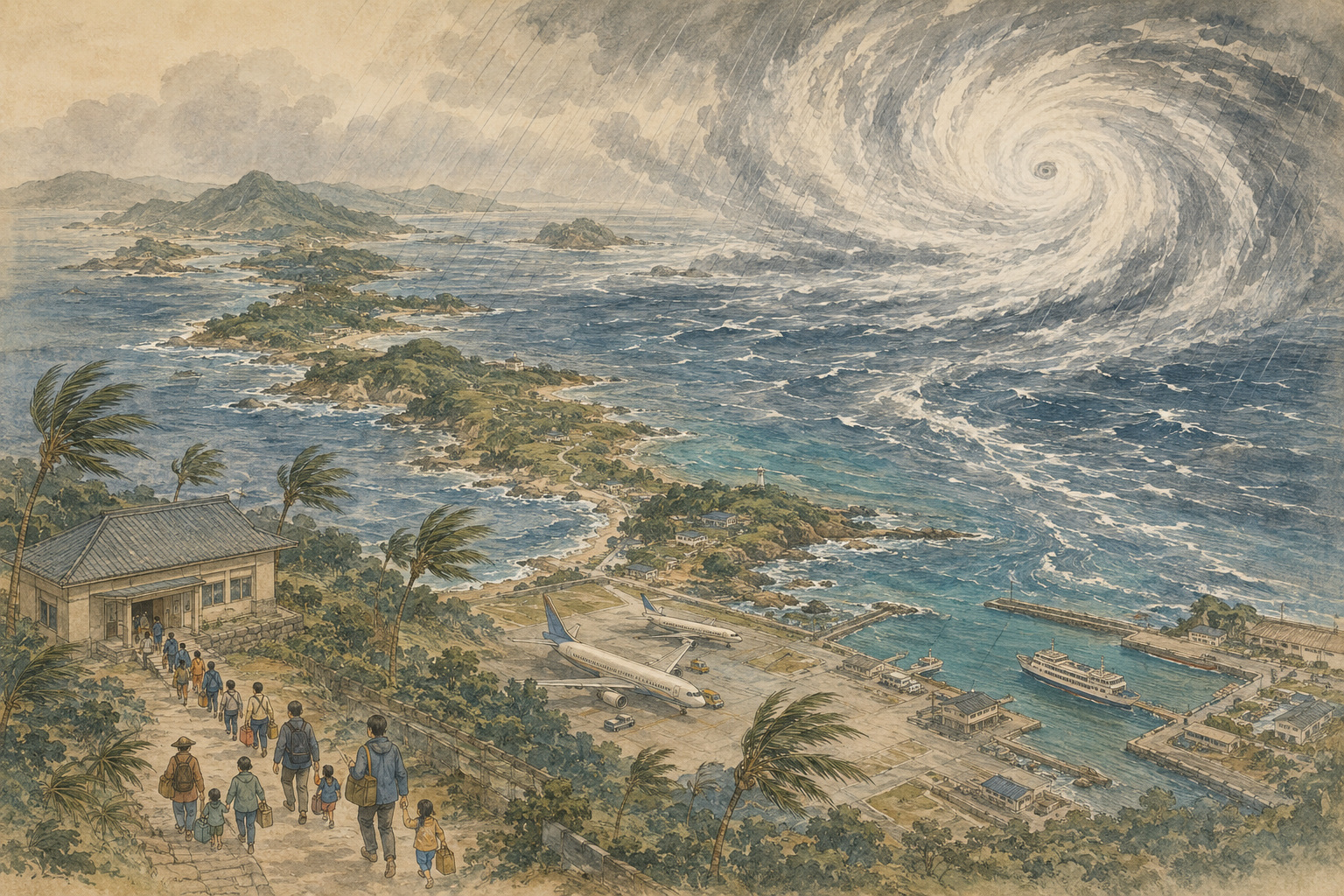
When the departures disappear from the board at Naha Airport, more than holidays stop. The timetable carries residents returning home, patients traveling for care, fresh food, medicine, mail and the daily income of an economy built around visitors. On Friday, August 7, Typhoon Dolphin reduced that timetable almost to a blank page.
The large and very strong Typhoon No. 13 had engulfed Okinawa’s main island region and part of Amami in its violent-wind zone before slowing near Kume Island. At 6:00 a.m. Saturday, it was estimated about 60 kilometers north-northwest of Kume Island, with a central pressure of 945 hectopascals, maximum sustained winds near the center of 45 meters per second and gusts of 60 meters per second. It was moving slowly south.
That last detail made the danger more than a contest of peak numbers. Dolphin did not simply arrive and continue quickly west. It slowed, wobbled and extended the number of hours in which roofs, transmission lines, trees, seawalls and exhausted residents remained under stress. Its large circulation meant that movement of the center did not immediately end the wind.
Authorities issued evacuation orders covering nearly 260,000 residents in Kagoshima and Okinawa prefectures, Reuters reported, while more than 500 flights were canceled Friday. The number covered by an order is not the number inside public shelters. The Associated Press, citing Okinawa Prefecture, reported about 240 people at evacuation centers as of midday Friday. Others could remain safely outside designated risk zones, shelter inside a suitable building or move early to relatives, friends or hotels.
Three men in their 70s suffered minor injuries in Okinawa. Two were caught by the wind; a third fell from a stool while apparently preparing for the storm, according to the prefecture’s account reported by AP. The incidents contain a hard lesson: preparation becomes hazardous once wind rises. Securing shutters, furniture, signs and antennas must be finished early. At some point, staying inside is safer than completing the job.
The danger of a long typhoon
A tropical cyclone’s danger cannot be read from central pressure or one wind speed alone. The JMA called Dolphin “large,” meaning its area of strong wind extended unusually far from the center. The wind field was asymmetrical, spreading farther on its northeastern side than its southwestern side. An island could remain inside damaging wind even as the plotted center began to move away.
Duration compounds physical stress. Repeated gusts work tiles, windows, fasteners and utility poles back and forth. Salt spray contaminates equipment and vegetation. Emergency batteries run down. People are tempted to step outside during a deceptive lull. A broad storm moving slowly also delays inspections and prevents aircraft, ferries and repair crews from beginning recovery.
Rain does not fall only beneath the eye. Warm, moist air drawn around a cyclone can form intense bands far from its center. The JMA warned that a linear rain band could develop, sharply raising the danger of flash flooding and landslides. Okinawa faced risks from inundation, swollen rivers and slope failure, while high waves and storm surge could remain dangerous into Sunday. Amami also faced violent wind, high waves and landslide danger.
International coverage described Dolphin as a Category 1 storm while the JMA called it “very strong.” The labels are not contradictory because agencies use different averaging periods and categories. U.S.-associated scales commonly use one-minute sustained wind; the JMA uses a 10-minute average. Residents should not try to translate one label into reassurance. Local wind, rain, wave, storm-surge and evacuation warnings are the relevant measures.
What it means to close Naha Airport
Naha Airport closed Friday, stopping both domestic and international arrivals and departures. ANA and Japan Airlines canceled a combined 267 flights that day. TV Asahi reported that another 219 flights by the two groups were already canceled for Saturday, affecting more than 39,000 passengers. Solaseed Air, Skymark, Peach, Japan Transocean Air and other carriers also suspended services, sending disruption into mainland connecting airports.
For a visitor, a cancellation destroys an itinerary. For an island resident, aviation is infrastructure. But the storm did not interrupt aviation alone. High waves stopped ferries and cargo operations. Okinawa Prefecture closed the Nirai and Kanai bridges, bridges on Kume and Aka islands and nearby road sections; closures later included the Irabu and Ikema bridges in the Miyako region.
The Miyakojima Local Meteorological Office explains the underlying vulnerability plainly: most food, gasoline and other necessities reach the islands by ship, so prolonged cancellations disrupt ordinary life. Empty shelves can reflect a broken supply sequence as much as panic buying. The sea must calm, the port must be inspected, a vessel must arrive, cargo must be unloaded and island roads must reopen before supplies reach a store.
Airline recovery is a sequence too. Aircraft and crews are displaced from their intended airports, later rotations lose their equipment, and terminals must handle passengers who accumulated during closure. Even after weather permits one departure, the network does not instantly return to schedule. A canceled flight can cast a shadow into the next day and the next city.
The industrial effects crossed the sea. Toyota suspended work at nine factories on Friday, primarily in Kyushu. There, Dolphin overlapped with another disaster: thousands of people were still displaced by the July 28 Kumamoto earthquake, and damaged homes were protected by temporary blue sheets. High wind can tear away that protection; rain can enter cracked structures and unstable slopes. Disasters do not wait politely for recovery from the previous one.
Why 260,000 evacuation orders did not mean 260,000 people in gyms
Japan’s Level 4 evacuation instruction tells everyone in a dangerous location to move out of danger. It does not require every person named in the population count to enter a municipal gym. The Cabinet Office defines evacuation as securing safety: moving to a designated site is one method, but a safe relative’s home, hotel or, where hazard maps support it, appropriate indoor sheltering can also protect life.
The distinction matters on islands where the route can become more dangerous than the building. A bridge may close in violent wind. A coastal road can flood. A village may have only one road beneath a steep slope. People who need more time — older residents, people with disabilities, pregnant people and families with babies — should leave a risky area when Level 3 information is issued. Waiting for Level 5 means waiting until a disaster may already be occurring and safe outdoor movement may no longer be possible.
This was also the first typhoon season under Japan’s overhauled meteorological warning terminology introduced on May 29, 2026. The new system more explicitly aligns weather information with the five alert levels and the action expected of residents. A better label helps only if people know their own flood, surge and landslide exposure and have already decided who will move, where and by which route.
- Population under an evacuation instruction: people in designated areas whom a municipality tells to move out of danger; not a shelter headcount.
- People in public shelters: those who entered municipal facilities; it excludes people with relatives, in hotels or safely sheltering elsewhere.
- Canceled flights: each loss can displace an aircraft and crew, producing later disruption after the weather improves.
- Forecast cone: the likely area of the storm’s future center, not the physical width of the storm or the full impact zone.
Dolphin crossed an ocean before it stalled at Okinawa
Dolphin did not suddenly appear east of Okinawa. At the end of July it traveled west-northwest near Wake Island. On July 31 it had a reported pressure of 910 hectopascals and maximum winds of 55 meters per second, placing it in the JMA’s most intense “violent” category. It then moved past Minamitorishima and the Ogasawara Islands along the edge of the Pacific high-pressure system. JMA observation staff were evacuated from isolated Minamitorishima in advance.
“Dolphin” belongs to the regional naming list maintained for western North Pacific storms and was contributed by Hong Kong, referring to the white dolphin. The gentle name has no relationship to destructive power. Japan’s number identifies the order in which typhoons formed during the year; the international name lets agencies and countries track the same system across borders.
A typhoon does not steer itself. It is carried around high-pressure ridges and by winds at different levels of the atmosphere. When steering currents weaken, a cyclone can slow, loop or change direction. Dolphin’s slow southward movement near Kume Island illustrated why a forecast should not be read like a train route. The center has uncertainty, and the storm’s actual wind and rain extend far beyond it.
Miyako carries three typhoons in its name
Okinawa is often called “typhoon alley,” a phrase so familiar that it risks making catastrophe sound routine. On Miyako, three storms have received special JMA names containing the island’s own name because the disasters were nationally exceptional. The names are not honors. They are entries in a record of observation and loss.
Typhoon Sarah, the 1959 Miyakojima Typhoon, passed the island with a minimum pressure of 908.1 hectopascals and a maximum gust of 64.8 meters per second. About 70 percent of the island’s houses were damaged. Seven years later, Typhoon Cora became the Second Miyakojima Typhoon. It moved slowly near Miyako, subjecting the island to prolonged wind and rain.
Cora produced a maximum gust of 85.3 meters per second at Miyakojima — still Japan’s highest official surface-observation gust. More than half the homes were damaged, and roughly 70 percent of the sugar-cane crop became unharvestable. The lesson was not merely that the wind was extreme. A slow cyclone could grind against the same community long enough to break shelter and livelihood together.
The Third Miyakojima Typhoon, Della, followed in 1968, with a maximum gust of 79.8 meters per second and major damage to homes and agriculture. Three island-named typhoons in nine years made wind resistance a matter of social survival, not an optional upgrade.
Amami has its own number that Japan has never forgotten. In September 1977, the Okinoerabu Typhoon passed over the island. Wadomari recorded a minimum pressure of 907.3 hectopascals, the lowest official surface pressure in Japanese observation history, and a gust of 60.4 meters per second. Half the island’s homes were destroyed or seriously damaged. Nationally, records list 5,119 damaged dwellings and 3,207 flooded ones.
In 2003, Typhoon Maemi placed Miyako in its violent-wind zone for about 24 hours. The island measured a 74.1-meter-per-second gust, a pressure of 912.0 hectopascals and 470 millimeters of rain over four days. Photographs of fallen poles, overturned vehicles and boats thrown ashore demonstrated that concrete construction had reduced one vulnerability without making island life invulnerable.
| Historic storm | Key island observation | Enduring lesson |
|---|---|---|
| 1959 Miyakojima Typhoon Sarah | 908.1 hPa; 64.8 m/s gust | About 70% of houses damaged; wind-resistant shelter became an island-wide concern. |
| 1966 Second Miyakojima Typhoon Cora | 85.3 m/s gust | A slow storm damaged more than half of homes and devastated sugar cane. |
| 1977 Okinoerabu Typhoon | 907.3 hPa; 60.4 m/s gust | Half the island’s homes destroyed or seriously damaged; Japan’s pressure record. |
| 2003 Typhoon Maemi | About 24 hours in violent winds; 74.1 m/s gust; 470 mm rain | Power, transport and supplies made the storm a compound island disaster. |
Red tile, stone wall, fukugi — and concrete
An Okinawan house is a record of negotiation with wind. Traditional homes sat low, their red tiles fixed with plaster. Coral-limestone walls and dense fukugi windbreak trees reduced gusts before they reached the building. Deep eaves and large openings answered humid heat, while the orientation of the house, wall and vegetation treated the entire compound as a defensive system.
After the war, housing shifted from wood toward reinforced concrete block and reinforced concrete. Okinawa Prefecture’s housing history connects the change to repeated typhoon and termite damage, the relatively strong performance of concrete-block housing built for U.S. military families, and construction expertise accumulated through base building. Okinawa’s flat concrete roofs are therefore both a climate adaptation and a landscape of postwar history.
Concrete is not permanent armor. Intense ultraviolet radiation, airborne salt and water entering cracks can corrode reinforcement and loosen exterior material. Older buildings require maintenance as well as original strength. A structurally modern home may still lose windows to debris or become difficult to inhabit without power, water, communications or cooling. A house that remains standing is not automatically a house in which life can continue safely.
How climate change belongs in this story
It is not scientifically sound to look at one storm and declare that global warming caused it. The formation, route and speed of an individual typhoon are influenced by large natural variations. JMA observations do not show a clear long-term increase in the annual number of typhoons. Years with many storms and years with few storms remain part of the record.
It is equally unsound to assume the future risk is unchanged. The Ministry of Education, Culture, Sports, Science and Technology and the JMA’s Climate Change in Japan 2025 assessment projects that typhoons near Japan will become more intense and carry more precipitation as warming advances. Across Japan, the frequency of extreme rain measures such as 80 millimeters or more in one hour has risen to roughly twice the level around 1980. Warmer oceans, more atmospheric moisture and higher sea levels can alter the background conditions for intensity, rain and surge.
The careful conclusion holds two ideas at once. Determining how warming influenced Dolphin’s particular strength or track would require event-specific attribution analysis. But ports, airports, shelters, grids, communications, housing and agriculture already have ample reason to prepare for stronger rain and wind hazards over their design lives.
The second danger begins when the wind falls
As wind eases, the urge to inspect and repair becomes powerful: climb to the roof, move a tree, check the sea, drive through the neighborhood. Yet swell can continue after the center moves away. Floodwater may hide a washed-out shoulder or open drain. A fallen line may still be live, and saturated slopes can fail after the heaviest rain.
Flights do not resume merely because a warning ends. Aircraft and crews are out of position; runways and terminals require inspection; passengers accumulated through the closure must be rebooked. Ferries need acceptable sea conditions, safe ports, cargo handling and open roads. Visitors need to confirm not only the original flight but the replacement, connection and accommodation directly with carriers and travel providers.
Island resilience is not the absence of fear. It is the discipline to stop movement during the dangerous hours, continue checking during the deceptive lull and reconnect people and supplies in stages. The memories of 1959, 1966, 1977 and 2003 do not prove that Okinawa and Amami will always be fine. They record the work required to make survival more likely.
Toward August 9: the effects outlast the westward track
At the Saturday morning cutoff, Dolphin was expected to move generally west through the East China Sea while remaining large and very strong, reach eastern China around Monday and then weaken. Okinawa and Amami could nevertheless experience lingering wind, high waves and storm surge into Sunday because of the slow movement and wide circulation. Looking only at the center and deciding that it had “gone west” would be premature.
The final damage was not knowable at 6:00 a.m. Saturday. The first reported injuries were minor, but losses to electricity, homes, roads, agriculture, fishing, tourism and local business would become visible only after conditions allowed municipal surveys. This article does not present early figures as a final toll.
Flight numbers will return to the board at Naha. A ferry will enter port. Gates on island bridges will reopen. Each will be a piece of recovery. But the final measure of whether the islands came through Dolphin will not be an aircraft count or a pressure reading. It will be whether people reached safety in time, resisted returning to danger too early and could reconnect the daily life the storm had cut apart.
July 31 Dolphin moves near Wake Island as a violent typhoon with a reported pressure of 910 hPa.
August 2 It travels west-northwest near Minamitorishima; the threat to Ogasawara, then Okinawa and Amami, becomes clear.
August 5 Okinawa Prefecture convenes its disaster headquarters and urges early preparation.
August 6 Airlines announce mass cancellations for Friday; bridge and road closures begin.
August 7 Dolphin makes its closest approach to Okinawa’s main island. Naha Airport closes, more than 500 flights are canceled and evacuation orders cover nearly 260,000 residents in Kagoshima and Okinawa.
August 8, 6:00 a.m. Estimated 60 km north-northwest of Kume Island at 945 hPa, with 45 m/s maximum winds, moving slowly south.
August 9 and beyond A westward track does not end high-wave, surge, wind and transport risks across Okinawa and Amami.
Reporting note and principal sources
This article uses public information verified through 6:00 a.m. JST on August 8, 2026. Storm position, evacuation, damage and transport figures are preliminary and may be revised. Safety decisions should always use the latest information from the JMA, municipalities and transport operators.
- Japan Meteorological Agency: Current typhoon information
- Japan Meteorological Agency: General typhoon bulletins
- Reuters: Evacuation orders and more than 500 canceled flights
- Associated Press: Naha Airport closure, shelters and injuries
- TV Asahi: ANA and JAL cancellations for August 7–8
- Okinawa Prefecture: Typhoon No. 13 disaster headquarters
- Okinawa Prefecture: Typhoon bridge and road closures
- Fire and Disaster Management Agency: Typhoon No. 13 reports
- Cabinet Office: Evacuation information and Alert Level 4
- JMA: New disaster-weather information introduced in 2026
- Miyakojima Local Meteorological Office: Typhoon disasters and the three Miyakojima typhoons
- JMA: The 1977 Okinoerabu Typhoon
- Okinawa Prefecture: Climate-responsive housing history
- JMA: Typhoon approaches to Okinawa and Amami
- MEXT and JMA: Climate Change in Japan 2025