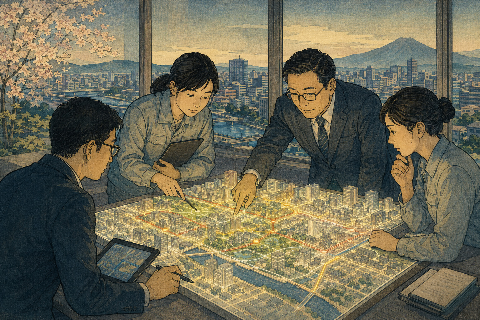
Public-sector technology often begins with a demonstration: a polished screen, a moving model, a list of functions. Japan’s newest PLATEAU competition track begins one step earlier. It asks a municipality to identify work that is slow, fragmented or unsafe, then sit with a partner capable of turning that problem into a practical use of 3D city data.
The Ministry of Land, Infrastructure, Transport and Tourism opened full applications for PLATEAU Award 2026 on August 28. The fifth annual development contest now has two divisions: the continuing General Division and a new Municipal Co-Creation Division, officially 自治体共創部門 in Japanese.
The official name matters. This is not simply a municipality–business category. An eligible team must include a local government employee and what the rules call an accompanying implementation partner. That partner may be a private company, a developer or another organization able to work on the problem and its eventual deployment. The partner must be identified when the application is submitted.
The new division covers regional problems and more efficient administration, with suggested fields including urban development and the environment, disaster prevention and public safety, tourism and regional revitalization, smart cities, and government workflow. Rather than submit a finished application, the team may enter with a problem-definition document describing the present situation, the people and work affected, the proposed approach and the co-creation structure.
The unusual entry requirement is no prototype
A prototype is not prohibited, but it is not required. That changes what a team must prove. In many civic-technology contests, developers arrive with a tool and seek a government use for it. Here, the entry can begin with a clearly documented administrative difficulty: repeated site visits during permit review, an evacuation map residents struggle to interpret, disconnected records of roads and buildings, or a planning process that cannot easily show the consequences of a proposed change.
The team then has to explain why three-dimensional geographic information is material to the solution. If an ordinary spreadsheet or two-dimensional map can solve the problem more cheaply, an impressive 3D interface is not necessarily useful. The award criteria put the use of the 3D city model, the idea and practicality at the center, including the team’s understanding of the administrative problem and the feasibility of its response.
This sequence is the new division’s strongest design choice. It gives municipal staff room to describe exceptions, delays, legal checks and handoffs before code is written. It also forces the implementation partner to encounter the existing workflow rather than treating the government as a customer for a product already designed.
PLATEAU is a dataset, not only a digital skyline
Project PLATEAU began in fiscal 2020 as the national government’s program to build, use and release 3D city models as open data. The award organizer says data for more than 300 Japanese cities are available. Local governments help build the models, while the national project publishes specifications, tools, learning materials and use cases.
The most visible layer is the shape of a city’s buildings, but the data can hold much more. Official PLATEAU materials list buildings, roads, urban-planning decisions, land use, disaster-risk zones, street furniture, vegetation and terrain among the possible city objects. The models are generally based on municipal urban-planning maps, with height information from aerial surveying and attributes from planning surveys and other records.
PLATEAU uses CityGML, a format based on an international standard for semantic 3D city models. “Semantic” is important: a building can be more than a block of pixels. It may have a location, shape and attributes that software can query and combine with population, transport, flood, energy or other datasets. That structure supports analysis and simulation as well as visualization.
Coverage does not mean uniformity. The city objects, attributes, level of detail and survey year differ by municipality and dataset. A team interested in building age, roof form, road classification or flood exposure must first check whether the necessary information exists for the proposed area and whether it is current enough for the decision being made.
Past use cases show what an administrative proposal could become
The entries have not yet been selected, but the ministry’s existing PLATEAU use-case library illustrates the types of work the new division could address. In development-permit digitalization, projects involving Kisarazu in Chiba Prefecture and Chino in Nagano Prefecture brought urban-planning rules, disaster information and other spatial records into a common environment. The objective was to reduce site checks and inquiries across offices while supporting consultations and permit review.
For disaster communication, Fukuoka City has combined anticipated inundation areas with building heights and used the visualization in public instruction, according to an official PLATEAU report. The aim is to help residents understand the difference between evacuating out of an area and moving upward inside a suitable structure. In Okazaki, Aichi Prefecture, a separate use case applied building shape, structural attributes and terrain to more detailed flood simulation.
Urban-structure tools offer another direction. PLATEAU projects have combined city models with population and transport statistics to calculate indicators for compact-city planning and to share those findings among government departments. The ministry’s own evaluation is cautious: visualization can make assumptions and problems easier to discuss, but it does not automatically produce agreement, and direct time savings may be limited where analysis remains outsourced.
These are earlier PLATEAU projects, not entries in the 2026 municipal division. Their relevance is methodological. They show that a serious proposal needs a current workflow, a data requirement, a user, a measurable outcome and an owner after the demonstration ends.
The two divisions judge different stages of development
| Category | General Division | Municipal Co-Creation Division |
|---|---|---|
| What may be entered | Applications, web services, businesses, content, experiences, policy tools and ideas using PLATEAU data. | A defined regional or administrative problem and an approach to solving it with PLATEAU data. |
| Who may enter | Individuals or teams from companies, schools, research organizations, government and other bodies. | A joint team consisting of a local government employee and an accompanying company, developer or other implementation partner. |
| Maturity | From commercial software and working prototypes to early ideas. | No completed prototype required; an entry may begin with analysis and problem definition. |
| Principal materials | Project outline, presentation PDF and a video of no more than three minutes showing the work. | A problem-definition document covering the background, proposal and co-creation team. |
| Evaluation | Use of the 3D city model, idea, UI/UX/design, technical ability and practicality. | Use of the 3D city model, idea and practicality, with emphasis on understanding the problem and feasibility. |
| Decision path | Finalists expected in January 2027, followed by final judging on February 27. | Municipal voting followed by online presentations on December 5 and 6, when selected projects are determined. |
Five questions separate a city problem from a technology pitch
- Whose work changes? Identify the department, resident or business affected and the current burden, risk or delay.
- Why is 3D necessary? State the spatial relationship that an existing register, spreadsheet or 2D map cannot adequately represent.
- Does the required data exist? Check the coverage, survey year, detail, attributes and update cycle for the proposed location.
- What result can be measured? Choose evidence such as review time, site visits, inquiries, resident comprehension, risk exposure or annual operating cost.
- Who keeps it running? Define responsibility for security, training, maintenance, procurement, data updates and support after the contest.
The second question is especially useful. Three dimensions matter when height, visibility, terrain, underground or above-ground relationships, shadow, wind, water flow, movement or the shape of a structure changes the decision. If the extra dimension does not change the analysis or communication, it can become cost without public value.
The third question guards against false precision. A photorealistic view can make old or incomplete information look authoritative. Teams need to identify when each layer was surveyed, how accurately it represents the city, and what happens when a new building, demolished structure or revised hazard map has not yet entered the model.
Co-creation must survive operations and procurement
Bringing the partner into the team at entry time can reduce one common failure: a municipality defines a need without knowing whether it is technically realistic, or a vendor presents technology without understanding administrative rules. It also creates governance questions that the competition alone cannot answer.
A prototype may use public data, but an operating system could add confidential applications, infrastructure details or information linked to individuals. The team will need security controls, access rules, retention policies and a method for responding when the model disagrees with an authoritative record. Accessibility also matters if residents are expected to use the result; a visually rich 3D interface cannot become the only route to a public service.
Ownership must be settled early. The municipality needs to know who owns new code and processed data, whether another supplier can maintain the system, and whether the solution can be transferred to another region. A low-cost demonstration can become an expensive dependency if only one company can update it.
Finally, a selected team still has to move through budgeting and lawful procurement. An award can provide visibility and support, but it cannot substitute for competitive purchasing rules, a sustainable operating budget or the evidence required to justify spending public money.
Municipal voting adds a test of relevance
From November 24 through December 2, the organizers plan a vote involving municipal personnel nationwide. That may reveal whether a problem resonates beyond one office and whether other regions can imagine adapting the proposal. Online presentation judging follows on December 5 and 6, when projects in the new division are selected.
Popularity is not the same as feasibility. A widely shared administrative frustration can still have a weak data basis or an unaffordable solution. Conversely, a narrow technical problem may produce substantial savings in one specialized department. The judging process will have to separate recognition of a common problem from proof that the proposed approach can solve it.
August 28, 2026 Full applications open for both divisions.
November 6 Deadline for pre-entry registration, which provides development support and event information.
November 19, 11:59 PM JST Full-entry deadline.
November 24–December 2 Planned nationwide vote by municipal personnel for the new division.
December 5–6 Online presentation judging; municipal co-creation projects are selected.
January 2027 General Division finalists are expected to be announced.
February 27 Final judging and awards ceremony are scheduled.
The real result will come after the ceremony
Removing the prototype requirement is not a relaxation of standards. It recognizes that building the wrong system well is still failure. Time spent defining a government problem, testing whether 3D data are relevant and assigning responsibility for implementation can prevent a much larger waste of development effort.
The difficulty begins after selection. A team may need additional surveying, data cleaning, a prototype, user testing, measurement, budget approval, procurement and long-term maintenance. The official promise of follow-on implementation support will be valuable if it helps teams cross those less visible stages, not only improve a presentation.
Japan can make models for more cities, add more detail and release more tools. Those are inputs. A useful digital twin is demonstrated when a planner can evaluate a proposal more clearly, a disaster officer can explain risk better, a resident can understand a decision, or a staff member can stop entering the same information twice.
The Municipal Co-Creation Division gives local governments a formal place to start with that work. Its success should eventually be counted not in entries or awards, but in defined problems that become maintainable public systems—and in proposals that are wisely abandoned when the evidence shows 3D is not the right answer.
- Ministry of Land, Infrastructure, Transport and Tourism — PLATEAU Award 2026 official site and entry rules
- Ministry of Land, Infrastructure, Transport and Tourism — PLATEAU Award 2026 FAQ
- KADOKAWA Group / Kadokawa ASCII Research Laboratories — Full applications open for PLATEAU Award 2026, August 28, 2026
- Ministry of Land, Infrastructure, Transport and Tourism — Project PLATEAU official site
- Project PLATEAU — What 3D city models contain and how they are built
- Project PLATEAU — Start Guide to CityGML and 3D city models
- Project PLATEAU — Development-permit digitalization v3.0
- Project PLATEAU — Advanced flood simulation
- Project PLATEAU — Implementation of an urban-structure evaluation tool
- Project PLATEAU — Official report on municipal use cases, including Fukuoka City