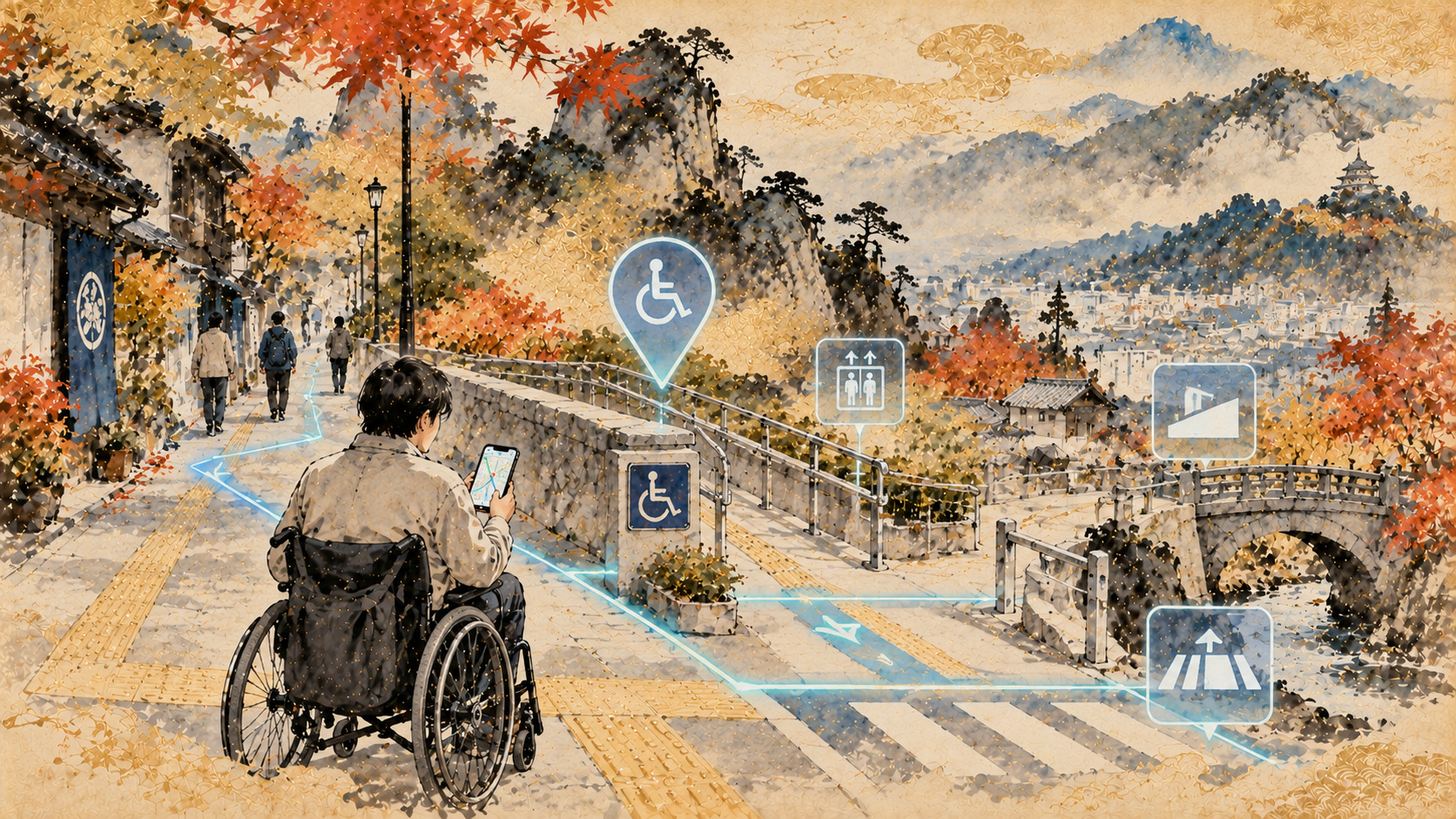
A walking route can look perfect on a phone and be impassable in a wheelchair. Japan wants to make the obstacles invisible to conventional maps visible to machines—and eventually to the people who need that information most.
A map can be correct and still lead you into a dead end
Imagine a journey that takes eight minutes on a standard map. At the first crossing, a raised curb blocks the route. The alternative sidewalk narrows between a wall and a utility pole. Beyond it is a short but steep incline. For a wheelchair user, a parent pushing a stroller or someone recovering from surgery, these details can determine whether the journey is possible at all. Yet conventional navigation often describes streets as connected lines, not as a series of physical conditions.
On October 16, 2026, Japan's Ministry of Land, Infrastructure, Transport and Tourism announced that Ikeda City, in Osaka Prefecture, had been selected for a field trial of artificial intelligence and related technology to help collect pedestrian-accessibility information. Organizations had been invited to apply between September 3 and October 2; the ministry evaluated proposals with input from outside experts and chose Ikeda. Fieldwork is scheduled for late October through December, with findings to be compiled in January and February 2027.
What has been selected is a test site—not a finished public navigation app. The project will investigate whether AI-assisted methods can automatically extract the width of pedestrian passages, the grade along a route and differences in height such as steps. The goal is to make it faster and more efficient to create what the ministry calls pedestrian-space network data. It has not yet reported accuracy scores, the exact streets to be covered or the trial's ultimate cost.
The three measurements that change a journey
Ordinary routing is built around links and junctions. For accessible navigation, a link also needs attributes that describe the path itself. Width matters because a sidewalk that looks continuous on a map may be too narrow for a particular mobility device. Longitudinal slope affects exertion, propulsion and braking. Vertical discontinuities—steps, curbs and changes in pavement level—may require a detour or assistance.
These attributes cannot be reduced to a universal "accessible/not accessible" label. Manual and powered wheelchairs can have different operating characteristics; individuals have different mobility and endurance; a pathway may be safe in dry conditions but difficult in the rain. The more useful model is one that records measurable conditions, lets users select their requirements and clearly communicates uncertainty and freshness.
Why gathering sidewalk data is so hard
A city may already have road maps, building plans and records of transportation facilities. That does not mean it possesses a continuously updated inventory of sidewalk barriers. Surveyors must measure or infer physical conditions. Construction changes the surface; a newly installed ramp removes a step; temporary barriers alter a route. Even an excellent survey starts to age as soon as it is completed.
That is where the trial's value may lie. If AI can correctly identify key measurements and reduce the manual work of checking them, municipalities could spend less on basic mapping and more on keeping the records current. But useful automation must be tested against actual observations: how often does the system miss a narrow section? Does shadow, vegetation or a busy pavement affect results? Can a reviewer see why a barrier was flagged? How many hours does it save once quality assurance is included?
There are also responsibilities beyond engineering. An automated system that fails to identify a hazardous step creates a different problem from one that incorrectly marks a safe path as inaccessible. Public institutions will need procedures for correction, data versioning and reporting unsafe directions—issues not resolved by the mere presence of AI.
Two decades of Japanese research lie behind the experiment
Japan did not discover accessible navigation this month. Transport-ministry records trace a sequence of initiatives back to the Self-Mobility Support Project of fiscal 2003–2008, followed by mobility-support model projects and investigations into the use of information and communications technology. These efforts asked how location-aware services and detailed environmental information could help people navigate independently.
In March 2018 the ministry released specifications for pedestrian-space network and related data. In July 2024 it revised the pedestrian-network specification with an explicit eye toward simpler data capture, more efficient updates, varied capabilities among mobility devices and the use of movement traces from wheelchairs and delivery robots. That last point matters: measurements and routes can potentially be informed by how devices actually move, although individual privacy and representative sampling remain concerns for any such implementation.
The specifications provide a common language for local governments and developers. Without compatible descriptions of width, grade and obstacles, data collected in one town may be difficult to use in another. In the long run, interoperability can be more valuable than a single impressive demonstration.
Ikeda was already part of the data story
In September 2025, the ministry announced an open-data site for its pedestrian navigation data platform. The datasets are intended to support applications such as barrier-free maps and routing, as well as route information for automated delivery robots. In March 2026 it began trial publication of viewing tools for pedestrian-network and accessible-facility data; the latter included material for Ikeda and neighboring Toyonaka. The new AI trial follows that broader government push.
It would nevertheless be misleading to present the March publication as the product of the October experiment. Facility data and newly extracted physical route attributes serve related but different purposes. The public announcement confirms Ikeda's selection, not that every connection between a bus stop, sidewalk, crossing and building entrance has been verified for use in a consumer service.
Whose definition of accessibility?
A system is only as helpful as the journey it describes. Consider a crossing with no curb step but no usable audible signal for a blind pedestrian; a route with smooth pavement but a broken elevator at its destination; or a nominally adequate sidewalk obstructed by parked bicycles. These are not failures of the width measurement itself. They demonstrate why comprehensive accessibility requires multiple kinds of information and consultation with users.
People with disabilities should not merely appear in a promotional photograph at the end of the project. Their experience can reveal which hazards matter most, when routing advice becomes confusing, and which errors deserve urgent correction. An effective system might need different settings for wheelchair users, people with low vision, travelers with luggage and caregivers. The ministry's current announcement does not specify the participant-testing arrangements for the Ikeda trial.
The same map may guide pedestrians and robots
Japan's ministry explicitly sees these data serving both people and machines. Low-speed automated delivery robots need to know where a sidewalk is wide enough and whether a curb, staircase or incline blocks the route. Accessible navigation and robotics therefore share a technical requirement: detailed, standardized information about space near ground level.
Yet their priorities are not identical. A delivery service may seek efficient operating routes, while a person may care more about shade, safety, reliable crossings or the availability of somewhere to rest. A future open-data ecosystem should permit different applications without allowing robot convenience to displace pedestrians' rights to public space.
What would success look like in early 2027?
When the project reports results, the most important questions will be practical. What area was surveyed, and by what method? How closely did AI extraction match reference measurements? What were the false-negative rates for steps and slopes? What did collection and validation cost per kilometer? Can local officials update records after roadworks? Will usable, documented data be made available for others to build services?
The scheduled fieldwork has not yet concluded. There is no defensible claim today that the experiment has delivered a functioning citywide accessible-navigation product or that it will automatically be adopted nationally. The more useful story is a government attempting to address a persistent gap in how maps represent physical reality—and submitting that attempt to a measurable test.
The measure of a smarter city is not how precisely its software can draw a route. It is whether more people can choose a route they can actually travel.
Ikeda's experiment may seem modest beside Japan's ambitions in autonomous vehicles and robotics. For someone who has had to turn around at an unexpected step, however, better information about a few meters of pavement could matter far more than a spectacular demonstration of futuristic technology.
Sources and documentation
- 国土交通省「現地実証の実施団体に大阪府池田市を選定」(2026年10月16日)
- 国土交通省「歩行空間ネットワークデータ整備仕様を改定しました」(2024年7月30日)
- 国土交通省・歩行空間ネットワークデータ等整備仕様・ガイドライン
- 国土交通省「歩行空間ナビゲーションデータプラットフォームオープンデータサイトを開設」(2025年9月30日)
- 国土交通省「歩行空間ネットワークデータ整備システム・バリアフリー施設等データ整備システムを試験的に公開」(2026年3月)
- 国土交通省・歩行空間の移動支援に係るデータのオープンデータ化・利活用促進ワーキンググループ
- 国土交通省・歩行者移動支援の過去の関係資料・取組内容(2003年度以降)
- 国土交通省・ICTを活用した歩行者移動支援の検討委員会資料