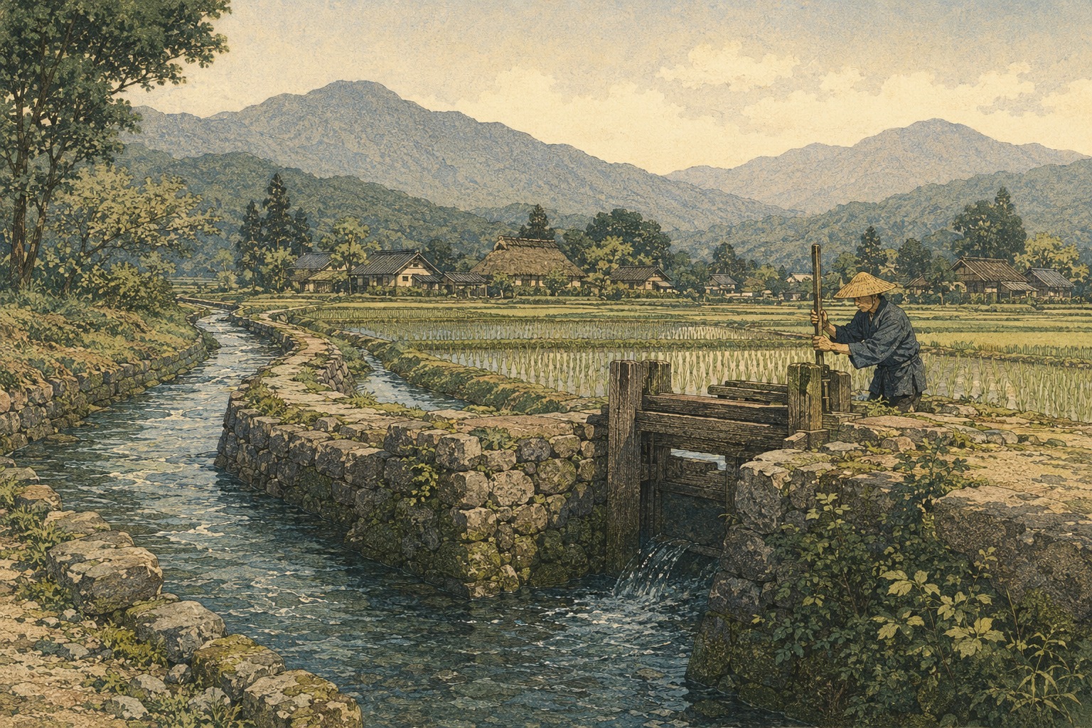
Gravity can move water downhill. It cannot decide which field receives it first, maintain a tunnel through a mountain, clear silt from a canal or settle a dispute between upstream and downstream villages. An irrigation system is therefore more than an engineered channel. It is a durable agreement between landscape, technology and people.
That broader achievement is what connects four Japanese sites newly recognized by the International Commission on Irrigation and Drainage. Japan’s Ministry of Agriculture, Forestry and Fisheries announced on August 21 that ICID had approved Kasai Irrigation System in Saitama, the Ogasa Region Irrigation System in Shizuoka, the Hinenosho Ogi Irrigation System in Osaka and the Sujin Emperor’s Tomb Moat in Nara. A recognition ceremony is scheduled for October 14 in Marseille, France.
Not UNESCO—and not a prize for ruins
The World Heritage Irrigation Structures program is separate from UNESCO’s World Heritage List. ICID, an international organization founded in 1950 to advance irrigation and drainage knowledge, established the program in 2014. Japan joined ICID in 1951.
The register is intended to encourage conservation, education, research and public understanding of historically important irrigation. Recognition does not mean that every wall, gate or bank remains exactly as first built. Working water systems survive because communities repair and alter them. Their continuity lies in function and management as much as in original fabric.
Kasai: the canal system behind a million-person city
Kasai Yosui crosses 12 municipalities in eastern Saitama Prefecture. Its origins are traced to the Kameari reservoir built between 1592 and 1595. As demand grew, engineers and administrators moved the source progressively upstream. The system reached the Tone River in 1660, and by 1719 it could deliver water reliably to the Kasai district.
At the time of its expansion, the main channels extended roughly 80 kilometers. The ministry’s nomination summary says the added farm production helped support Edo as its population exceeded one million in the 18th century; by the 19th century, the irrigated area reportedly reached 14,000 hectares. That is the government’s historical assessment, not proof that one canal alone produced Edo’s growth. It nevertheless illuminates a fact easily lost in urban history: the metropolis depended on hydraulic work far beyond its center.
Kasai’s designers used former river courses and reservoir-like pools called tamei. Water discharged upstream could be captured and reused farther down. Three surviving tamei—Biwa, Matsubushi and Kawarazone—remain part of a system irrigating about 6,800 hectares. Hiroshige’s 1857 print “Yotsugi-dori Canal Towboat” also records the canal as a route of transport and an everyday waterscape.
Ogasa: making a network from scarcity
The Ogasa area of Kakegawa and Kikugawa had no major river and repeatedly suffered drought. Its answer was not a single monumental dam. Farmers created a distributed network: the Kamo, Junaiiri and Mineda channels, plus seven representative ponds—ten registered components in all.
Kamo dates to 1594 and ran about eight kilometers. Mineda was built in 1625. Junaiiri, completed in 1646, carried water beneath a riverbed and a six-meter embankment through a roughly 70-meter stone-supported underground conduit. It is now a Kakegawa municipal cultural property.
In the hills, ponds were arranged in descending chains. This “linked-bead” layout increased storage while distributing the risk of a dam failure. Later generations connected separate valleys horizontally. In 1896, Yada Oike was joined to a pond in another watershed by a diversion tunnel about 300 meters long. What began as separate channels and ponds became a grid capable of shifting water across catchments. The registered facilities still supply 979 hectares of fields.
Hyakusho Denki, an early systematic agricultural manual associated with the region, described methods including pond construction. Copied manuscripts carried that knowledge elsewhere. Irrigation heritage can survive as a structure, a custom—or a set of instructions.
Hinenosho Ogi: a medieval estate still visible in water
In Izumisano, Osaka Prefecture, the Hinenosho Ogi system links contemporary farming to Hinenosho, an estate developed by the aristocratic Kujo family and described in the ministry’s summary as having been established in 1234. The ministry identifies 11 channels, ten ponds and six diversion weirs remaining in the Tsuchimaru and Ogi districts.
The Kashii River carved a landscape of terraces with vertical differences reaching 60 to 70 meters. Irrigators used those slopes to distribute water and expand rice cultivation, particularly from the Muromachi period onward. Some channels appear in surveys made around the estate’s formation and retain much of their historic pattern.
The survival is institutional as well as physical. A land improvement district works with neighborhood associations and local units called ban to manage the system. A canal crossing many properties cannot endure through archaeology alone. Someone must operate gates, clear debris and accept rules that connect one farmer’s actions to another farmer’s crop.
Sujin Emperor’s Tomb Moat: two histories around one body of water
The Sujin Emperor’s Tomb Moat in Tenri, Nara Prefecture, reaches back furthest. The moat is believed to have been created with the kofun in the early fourth century. The official facility name follows the Imperial Household Agency’s designation. That designation should not be confused with archaeological proof of the occupant’s identity, which this article does not assert.
For irrigation history, the decisive episode came at the end of the Edo period. According to the ministry’s nomination summary, the Yanagimoto domain negotiated with the shogunate to undertake repairs at its own expense in 1864–65. It enlarged the moat beyond the shogunate’s standard and obtained rights to use the additional water for irrigation.
A monument commemorating the benefits of the repair—Shuryo Yojun, roughly the surplus blessing of restoring the imperial tomb—was erected at Sengyoin temple in 1896. Today the Yanagimoto neighborhood federation holds a Hanshu Festival after rice planting in July and invites descendants of the former domain lord. The ministry describes this as a practice of recent years; it should not be presented as an unbroken ritual from antiquity.
A living system is never perfectly original
None of these systems is a frozen artifact. Banks have been reinforced, intakes replaced and routes adapted to urbanization, modern farming and changing demand. If “heritage” suggests an untouched medieval canal, it obscures the very practice that allowed the waterworks to survive.
Kasai represents large-scale development around Edo. Ogasa shows resilience through distributed storage and cross-watershed links. Hinenosho Ogi demonstrates communal governance embedded in a medieval landscape. The tomb moat reveals how imperial commemoration and a farming community’s need for water could converge in one late-shogunate project.
The ministry’s recognition announcement does not identify any repair grant accompanying the designation. In Japan.co.jp’s analysis, shortages of maintenance labor, heavier rain, drought risk and the declining visibility of canals in suburban landscapes will remain practical challenges after recognition. The value of the designation will depend on what local managers and governments do after the ceremony.
A history of Japan written in water
Political history divides Japan into ancient courts, medieval estates, Tokugawa domains and the modern state. Water refuses those clean boundaries. A kofun moat became part of a nineteenth-century irrigation bargain. Estate channels documented in the 1200s entered modern land-improvement administration. Farmer-built ponds were incorporated into postwar water projects. A Tokugawa canal became part of metropolitan Saitama’s agricultural and recreational landscape.
The institutions changed; gravity did not. Communities still had to decide who received water, in what order and under whose responsibility. Those negotiations—mostly invisible beside castles and temples—are the deeper cultural record preserved by the four new registrations.