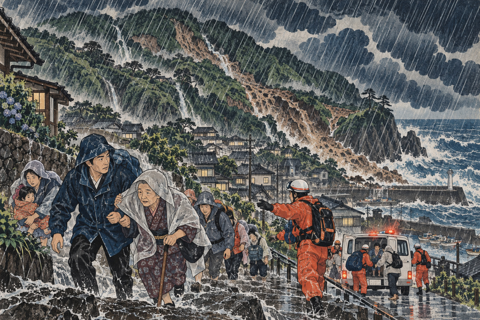
By 4 a.m. on September 7, the rain gauge on Ōshima had collected 541.0 millimeters in 24 hours. Niijima had received 364.0 millimeters, Hachijōjima 364.5, Miyakejima 338.5 and Kōzushima 308.5. The latter two islands were not the statistical headline: Niijima and Hachijōjima set all-time 24-hour records, while Ōshima and Kōzushima set September records. Yet every number described a landscape that had absorbed far more water than a daily forecast normally conveys.
At 4:15 a.m., the Japan Meteorological Agency issued a Level 5 Landslide Disaster Special Warning for Niijima Village. The agency’s language was unusually stark: the probability was extremely high that a landslide disaster had already occurred. Level 5 was not an invitation to begin an orderly trip to a shelter. It meant danger to life and an immediate need to find whatever safety remained.
The weather was also more complicated than a direct typhoon strike. A seasonal front lay near southern Honshu. Warm, moist air flowed into it, including moisture associated with Typhoon No. 24. At 3 a.m. on September 7 the storm had a central pressure of 990 hectopascals and maximum sustained winds of 18 meters per second; JMA expected it to weaken into a tropical depression later that day. A weakening cyclone, however, does not instantly switch off the moisture feeding a stationary front.
Five gauges, one saturated archipelago
The Izu Islands form a long chain rather than one compact landmass. Rain does not fall uniformly from Ōshima in the north to Hachijōjima far to the south. That makes the breadth of the event significant: five official gauges exceeded 300 millimeters over the same 24-hour reporting window.
| JMA station | 12 hours | 24 hours | Record status |
|---|---|---|---|
| Ōshima, Ōshima Town | 386.5 mm | 541.0 mm | September records |
| Niijima, Niijima Village | 249.0 mm | 364.0 mm | 24-hour all-time record |
| Hachijōjima, Hachijō Town | 291.5 mm | 364.5 mm | 24-hour all-time record |
| Miyakejima, Miyake Village | 280.5 mm | 338.5 mm | 12-hour September record |
| Kōzushima, Kōzushima Village | 230.5 mm | 308.5 mm | September records |
These are JMA values through 4 a.m. September 7, not final storm totals. Weathernews reported that by 2:10 p.m., 48-hour rainfall had reached 710.5 millimeters on Ōshima and 534.0 on Niijima. It described the Ōshima total as the station’s second highest, behind the 824.0 millimeters associated with the catastrophic 2013 event.
A gauge is a point measurement. It does not mean every valley and settlement on an island received the same amount. Nor does a record ranking translate directly into damage. Slope angle, geology, drainage, earlier rainfall and where the heaviest bands passed all shape the outcome.
Level 5 comes after the evacuation window
Japan introduced a revised set of weather-warning names in May 2026. For landslides, Level 3 is a Landslide Warning, Level 4 a Landslide Danger Warning and Level 5 a Landslide Disaster Special Warning. The structure is intended to make one message unmistakable: everyone in a dangerous place should be out by Level 4.
Two systems sit alongside each other. JMA issues weather and hazard information. Municipalities issue evacuation information under Japan’s disaster-management framework. A Level 5 special warning from JMA and a Level 5 Emergency Safety Assurance order from a mayor may describe the same crisis, but they are not the same notice or the act of the same authority. Weathernews reported that Niijima Village, Ōshima Town and Toshima Village issued Emergency Safety Assurance orders across their jurisdictions on September 7.
By Level 5, going outside may be more dangerous than staying put. JMA advises that when travel to a designated shelter is hazardous, people should take the safest action available—such as moving to a sturdier building or a room farther from a cliff or stream. This is not a promise that an upper floor is safe. It is guidance for the point at which safer choices may already have disappeared.
Islands can lose redundancy quickly
On the mainland, a closed road may have a detour. On a small volcanic island, the coastal route may be the route: to the clinic, harbor, school, fuel depot and neighboring settlement. Ferries and aircraft connect residents to specialist medicine and supply chains. Heavy seas, poor visibility, a fallen tree or a slope failure can remove several layers of access at once.
Isolation is therefore not binary. An island need not be completely cut off to face an isolation emergency. One settlement can lose road access to medical care; a port can remain intact while cargo cannot reach it; electricity can be restored while technicians still cannot safely inspect a communications site. Older residents, people using home medical equipment, visitors and those without Japanese-language alerts experience these fractures first.
The national material reviewed by Japan.co.jp through September 7 did not provide a consolidated, verified count of road, power, water, communications and port damage across the entire chain. We therefore do not state that infrastructure was destroyed across the islands. A hazard, a precautionary closure and confirmed physical damage are three different facts. Each needs a time-stamped source.
The slope remembers the rain
Rainfall intensity is only part of landslide danger. JMA’s soil-water index estimates how much water has accumulated underground using a tank model. After prolonged rainfall, the sky can brighten while water remains in the slope, pore pressure stays elevated and soil strength remains reduced.
JMA’s Landslide Risk Map, commonly called Doshakikuru, displays risk in one-kilometer grid cells. Its black “disaster imminent” color appears when observed values reach a combination of 60-minute rainfall and soil-water index associated with past severe disasters. A Level 5 special warning uses related criteria but also considers whether roughly ten or more high-risk grid cells are expected to cluster and whether intense rain is expected to continue. JMA cautions that the two displays therefore need not match perfectly.
In its early September 7 release, JMA forecast another 150 millimeters for the Izu Islands during the 24 hours ending at 6 a.m. September 8, followed by less than 50 millimeters in the next period. Those were forecasts made at that moment, not observations for this article’s September 9 dateline. The durable point is physical: a lower rainfall rate does not reset a saturated slope.
Ōshima’s 2013 disaster is the warning beneath the warning
On October 16, 2013, Typhoon No. 26 brought extraordinary rain to Ōshima. Tokyo’s official disaster-planning material records more than 100 millimeters in an hour and 824 millimeters in 24 hours. The resulting large-scale slope failures devastated the Motomachi area. Across Tokyo, the event left 40 people dead or missing and 25 injured.
That history is embedded in every comparison with the 2026 total. It is also easy to misuse. This event did not have to equal 824 millimeters to be dangerous, and the earlier disaster does not prove that the same slopes would fail in the same way. Rainfall duration, local concentration, ground conditions and protective works have changed.
After 2013, the Tokyo Metropolitan Government and Ōshima Town pursued sabo erosion-control works, measures against driftwood, infrastructure restoration and changes to evacuation practice. Such work reduces risk; it cannot abolish it. The historical lesson is not that disaster repeats mechanically. It is that intense nighttime rain, steep volcanic terrain and delayed movement can compress the interval between warning and catastrophe.
A record is a measurement, not a complete risk map
“Highest on record” is powerful language, but the record begins when a station’s comparable observations begin. Stations may have different operating histories, and instrumentation or location can change. An all-time station record is not proof that no greater rain fell before measurement began.
The reverse matters more for safety: a station that did not break a record is not safe. Ōshima’s 541.0 millimeters through 4 a.m. was below the 2013 disaster total, yet a different distribution of rainfall can burden a different catchment or slope. Residents need the current hazard map and conditions around their route, not a league table of gauges.
Time stamps prevent another distortion. The 24-hour table ended at 4 a.m.; the later 48-hour values ended at 2:10 p.m. Rain was still developing. Ethical use of numbers requires saying what was measured, where and when—and resisting the temptation to present an interim figure as the storm’s final total.
Evacuation decisions are local by necessity
“The Izu Islands” contains communities with different slopes, settlement patterns, shelters and communications systems. A household beneath a cliff, a road beside a stream and a public building on low coastal ground do not share one safest direction. Municipal hazard maps, public-address systems, receiver radios and registered alert services carry the local instructions that a regional headline cannot.
Evacuation also means more than entering a designated shelter. Before conditions deteriorate, moving to family or accommodation in a safer district may be appropriate. Once roads are flooding or stones are falling, a short move within a strong building away from the slope may be less dangerous than a long outdoor journey. Timing changes the answer.
Visitors have less geographical knowledge and may not recognize that the municipality named in an alert covers the island where they are staying. Hotels and transport operators need short multilingual instructions, visible route diagrams and plans for guests stranded by cancellations. In Japan.co.jp’s analysis, an island’s resilience lies not only in concrete structures but in redundant ways to reach the last person with usable information.
Recovery begins by refusing the all-clear too early
Once the rain passes, pressure builds to clear roads, reopen ports and restore school, work and tourism. Those are essential goals. But the first phase of recovery includes slope inspection, drainage checks and monitoring for secondary failures. Residents and crews removing debris can become the next people exposed beneath weakened ground.
The sequence matters: account for people, restore contact with isolated settlements, preserve medical and welfare services, then distinguish damage that is confirmed, still under investigation or already repaired. In early reports, “no damage reported” can mean nobody has yet reached the site. Authorities earn trust by adding update times and by showing what remains unknown.
The eventual review should ask more than when Level 5 was issued. Did Level 4 reach residents in time? Could people move safely at night? Were shelters outside landslide zones? Were medicine and communications resilient when sea and air links stopped? The 2013 memory has value only if it becomes a record of decisions made and gaps exposed in 2026.
- JMA warnings and Doshakikuru: current rainfall and mapped landslide danger.
- Municipal notices: evacuation orders and the opening or closure of shelters.
- Operators and infrastructure managers: ferries, flights, roads, electricity, water and communications.
- Japan Meteorological Agency: Level 5 Landslide Disaster Special Warning for the northern Izu Islands and its technical release—warnings, rainfall, weather mechanism and forecast.
- JMA: Improvements to Disaster-Prevention Weather Information—the 2026 warning structure.
- JMA: Landslide Risk Map—soil-water index, one-kilometer grids and Level 5 criteria.
- Cabinet Office disaster-planning material—the principle of evacuating dangerous places by Level 4.
- Weathernews: prolonged rain from the Izu Islands to southern Kantō—afternoon 48-hour values and warning status.
- Weathernews: Emergency Safety Assurance orders—time-stamped reporting on municipal evacuation notices.
- Tokyo Metropolitan Government disaster-management data—2013 Typhoon No. 26 rainfall and casualties.
- Tokyo Metropolitan Government: early recovery after the Izu Ōshima landslide disaster—post-2013 response.
Editorial method: Primary Japanese government sources anchor the warning terminology, measurements and history. Time-stamped weather reporting supplies later September 7 observations. The edition distinguishes weather warnings from evacuation orders, point measurements from island-wide conditions, danger from confirmed damage, and reported fact from Japan.co.jp analysis.