- A field opens above an uncertain past
- The investigation, hour by hour
- A second case in the same locality this year
- Why Japan once needed lignite
- How an old void can become a modern hazard
- A restoration system with a confirmation step
- What engineers have learned elsewhere in Gifu
- One hole, many different land-use consequences
- The problem of maps and memory
- Industry’s achievements and its unpaid costs
- What the next report should answer
A field opens above an uncertain past
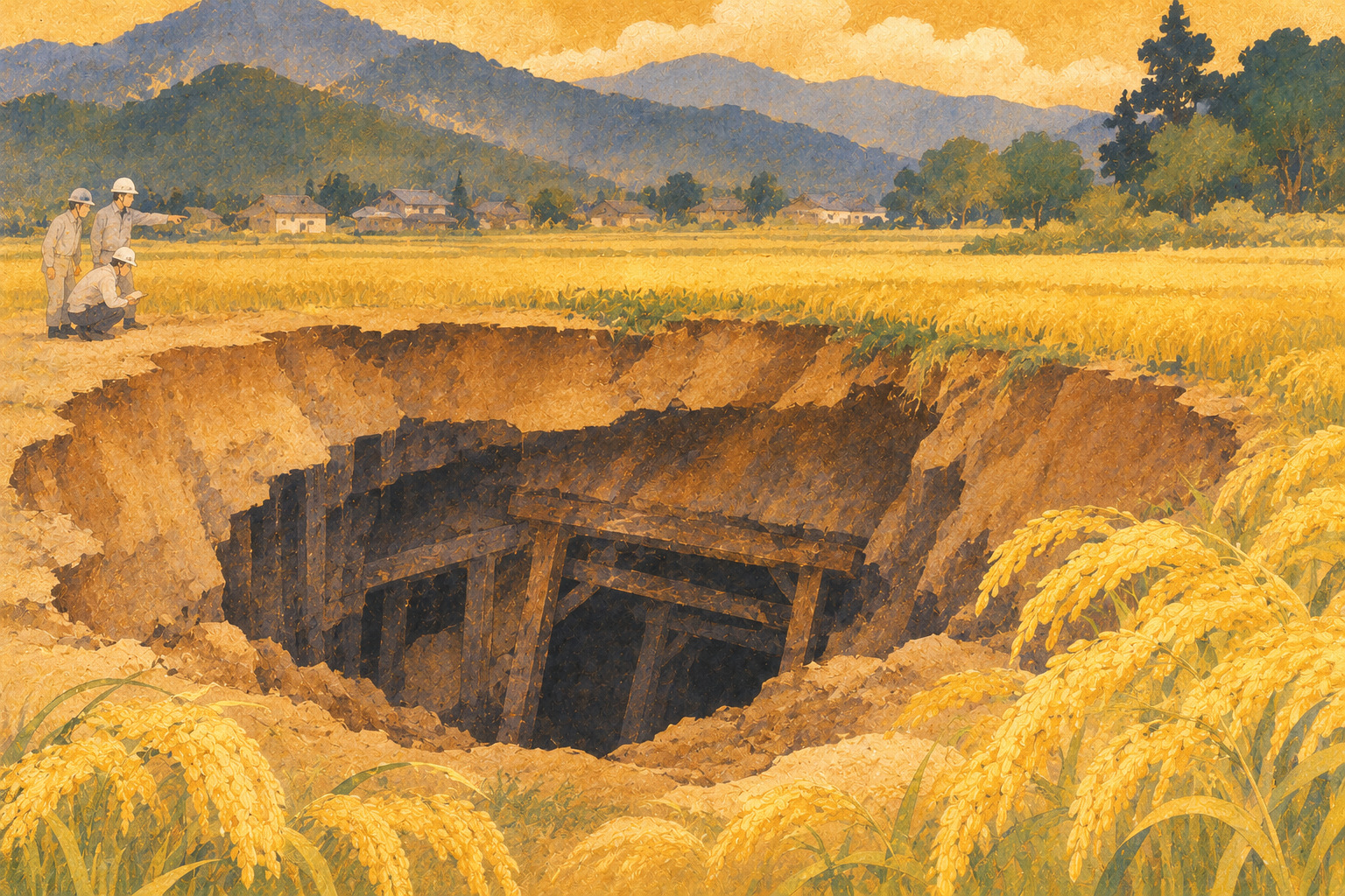
On November 3, a resident in Ochiai, a district of Nakatsugawa in Gifu Prefecture, alerted local officials to an opening in a rice field. Gifu's account puts the call at about 3:45 p.m. The depression measured roughly 2.00 by 2.60 meters and extended more than three meters down. No one was injured and no buildings were damaged. Those are the established observations; what lies beneath is not yet established.
Investigators suspect that former lignite workings may be involved. That is not the same as a confirmed geological explanation. The regional arm of Japan's Ministry of Economy, Trade and Industry must determine whether the case qualifies as mine-related damage under the applicable restoration scheme.
The investigation, hour by hour
On November 4, employees of Nakatsugawa City's industrial affairs office and local Ochiai office inspected the site at around 8:30 a.m. A joint investigation followed at 2 p.m., drawing representatives from the Chubu Bureau of Economy, Trade and Industry, the prefecture, the city and a regional economic-development foundation. According to Gifu Prefecture, the city installed cones and barrier bars and asked a neighborhood leader to warn residents not to approach.
The prefecture's November 6 release does not provide a mapped mine shaft, confirm the physical shape of a cavity, specify a repair budget or set a completion date. A dramatic hole is a compelling image, but it is not itself proof of which engineering failure produced it.
A second case in the same locality this year
The November discovery has a significant predecessor. On May 22, another ground depression was reported in a field in the same Inoshita locality of Ochiai. According to a separate prefectural notice, that opening was approximately 2.45 by 2.05 meters and 2.40 meters deep. Officials investigated it that day as another suspected case linked to abandoned lignite workings. There were no reported injuries or building damage.
The difference between the records matters: May describes a cultivated field, November a rice paddy. Sharing a place name does not establish that the holes are adjacent, connected to the same tunnel or even caused by the same failure mechanism. What can be said is that two public reports of shallow subsidence came from the same named locality in less than six months.
Why Japan once needed lignite
Lignite—atan in Japanese—is a relatively low-rank carbonaceous fuel, sometimes retaining recognizable woody material. It contains comparatively high moisture and generally provides less heat than higher-grade coal. It nevertheless helped heat households and serve industrial users when fuel supply was constrained, especially through wartime and postwar shortages. In central Japan, local seams could be worked without the vast infrastructure associated with major coalfields.
As oil and other more convenient fuels expanded, many lignite operations became uneconomic and closed. The energy transition solved one problem of supply but did not automatically erase the spaces created below farmland and roads. The afterlife of extraction can last much longer than the industry itself.
How an old void can become a modern hazard
Mining in parts of the Tokai region used room-and-pillar methods: workers removed material while leaving columns or pillars to carry overlying strata. Over time, roof layers or surviving pillars can deteriorate. Material above an opening may migrate downward, eventually allowing the surface to sag or collapse. This is an explanation of a known type of hazard, not a reconstruction of what happened at the Nakatsugawa site.
Gifu's restoration-fund documents describe shallow mine subsidence as damage involving former extraction spaces or galleries within 50 meters of the surface. The November hole being more than three meters deep does not mean a tunnel necessarily lay three meters below ground. Surface depth and underground mine geometry are different measurements.
A restoration system with a confirmation step
Gifu Prefecture says Nakatsugawa City can undertake work through the specified mine-damage restoration fund once the Chubu Bureau establishes that the incident qualifies. Earlier prefectural budget documents describe how national and prefectural funding supports such repairs in former mining areas, including Nakatsugawa, Mizunami, Kani and Mitake.
Confirmation is consequential. It determines the pathway toward a publicly supported restoration project, but it does not in itself fix the design, cost or schedule. Geotechnical investigation, appropriate engineering treatment and post-work checks remain separate questions. No verified cost or construction timetable for this November hole appears in the reviewed release.
What engineers have learned elsewhere in Gifu
Nearby areas have wrestled with former lignite workings for decades. Gifu Prefecture created a committee to advise on protecting roads in Mitake. The Tajimi office of Japan's transport ministry describes projects that filled old cavities along important road corridors. Engineers have also documented a technique of limited-area grouting, intended to keep fill materials from escaping into unintended underground spaces.
The experience is instructive precisely because there is no universal solution: void geometry, groundwater, surrounding soil, access and nearby infrastructure shape what works. It would be premature to recommend a particular grouting design for Ochiai on the strength of public press notices alone.
One hole, many different land-use consequences
A depression in a paddy field that causes no injuries is not equivalent to settlement beneath a house or public road. Yet it may still disrupt farming and require safety restrictions. In August 2026 Gifu also disclosed a suspected mine-related subsidence incident at a residential site in Mitake, where a structural floor support was affected. The report is a reminder of how the consequences vary by location.
It would also be wrong to turn isolated cases into a blanket warning that all ground in eastern Gifu is unsafe. Risk depends on historical workings, depth, geology and previous repairs. The relevant evidence is site-specific, and definitive conclusions should come from properly qualified investigations.
The problem of maps and memory
An abandoned underground gallery may not be visible from above; records can be incomplete and a modern property boundary may bear little resemblance to the old mining landscape. Historical mine records, oral recollections, drilling surveys and engineering inspections each reveal something different. None alone necessarily supplies a complete map of underground risk.
The public needs explanations that are neither reassuring beyond the evidence nor alarmist. Which areas are restricted? When will investigators return? Can residents report cracks or unusual settling? Which findings will be released? These are practical questions for officials and the community as the investigation develops.
Industry’s achievements and its unpaid costs
The histories of local fuel industries are not simply cautionary tales. Mining supported communities and contributed to Japan's industrial and household energy supply. The work, wages and skills of those decades deserve recognition. But a fair history must also count costs that appear long after commercial operations cease—inspection, filling, repair and the uncertainty of land use.
Nakatsugawa's latest depression connects that historical bargain to an ordinary piece of rural land. The visible opening is modest in size. The historical and administrative system required to explain and restore it is anything but modest.
What the next report should answer
The next decisive development will be an official determination of cause and eligibility for the mine-damage restoration system. Other questions remain: Do the May and November cases share any underground origin? Will surrounding ground be surveyed? What repairs are proposed, and how will completion be verified? How will residents be kept informed? The available records leave these issues unresolved.
For the moment, the responsible conclusion is both narrow and important: a dangerous-looking depression has been fenced off, no injuries or building damage were reported, and officials suspect a legacy of mining. The story does not end when the ground is filled. It ends only when the evidence, the engineering response and the community's understanding catch up with the hole in the field.
Sources and reporting method
Based on published official notices, public engineering documents and technical association records. General accounts of mining techniques do not establish the specific cause of this event.
- Gifu Prefecture: November 6 incident report
- Gifu Prefecture: May incident in Ochiai
- Gifu Prefecture: abandoned-mine restoration fund
- Gifu Prefecture: abandoned-mine road safety committee
- MLIT Tajimi office: historic mine voids and road works
- Grouting Technology Association: history
- Grouting Technology Association: Tokai Ring Road grouting
- Carbon Frontier Organization: lignite terminology
- Kasugai City: history of lignite mining
- Gifu Prefecture: August 2026 Mitake case