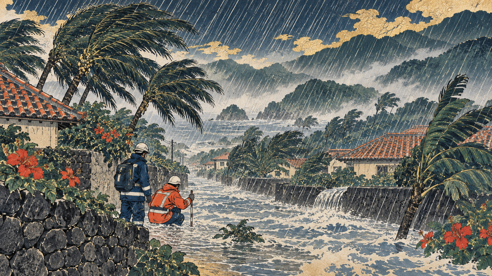
Thirty minutes separated two of the most urgent weather messages issued in southern Japan on September 5. They looked similar on a phone screen and invoked the same frightening phrase—senjō kōsuitai, or linear rainband. But they described different moments in the evolution of a disaster.
The first message was observational. Repeatedly developing thunderstorms were training over the Amami islands, and JMA’s rainfall and hazard thresholds had been met. Rainfall estimated at 99 millimeters in one hour struck Okinoerabu Island. The second message, from the Okinawa Meteorological Observatory, was predictive. Model analysis indicated that a comparable organized rainband could develop over the northern part of Okinawa Island within three hours; the target area was subsequently widened.
By then Typhoon 24, named Krovanh, had already defied the simple mental picture of a tropical cyclone crossing a map in one clean arc. It moved northwest past Amami, slowed in the East China Sea, turned back toward Okinawa, then began shifting east. Its compact core was not the only threat. Moisture wrapped around and far beyond the center, feeding thunderstorms on the storm’s northern side and the seasonal front across Japan.
A rainband is a process, not a line drawn on radar
JMA defines a linear rainband as an organized group of cumulonimbus clouds producing an intense precipitation zone roughly 50 to 300 kilometers long and 20 to 50 kilometers wide. New cells form on the upwind side, mature as they travel and release rain over nearly the same corridor. The individual cloud changes; the deluge over the ground can remain.
Several ingredients must overlap. Warm, humid air needs to flow continuously into the lower atmosphere. Terrain or a local boundary must lift it. Winds at different heights must organize and steer successive storms along a common path. Small errors in any ingredient—where convergence begins, how moist the inflow becomes, whether a cell survives over water or land—can displace the heaviest rain by tens of kilometers.
That uncertainty is especially consequential across the Ryukyu and Amami island chains. A forecast box may contain several islands and large areas of ocean. Radar can reveal storms developing upstream, but the precise community struck by each cell may remain uncertain until little time is left.
Japan’s warnings changed in 2026
The September episode was an early high-stakes test of a system introduced on May 29. JMA had issued notifications of an observed linear rainband since 2021 and broad, half-day outlooks since 2022. The gap between them was large: one offered time but covered a wide region; the other arrived when dangerous rain was already under way.
The new senjō kōsuitai chokuzen yosoku—officially a “linear rainband imminent prediction”—is designed to fill that gap. It aims for two to three hours of lead time and names a primary subdivision used in routine local forecasts. JMA also introduced a forecast map indicating broader 20-kilometer grid areas where the ingredients for extreme rain may develop.
| JMA information | Meaning | Practical response |
|---|---|---|
| Half-day prediction | The chance has risen across a relatively broad forecast region | Check hazards, routes, shelter and family needs before conditions deteriorate |
| Imminent prediction | Formation risk is high within the next three hours in a named subdivision | Leave cliffs, rivers and flood-prone ground while safe movement remains possible |
| Occurrence bulletin | A qualifying rainband is producing persistent, very intense rain amid sharply elevated hazard indicators | Follow evacuation instructions; if travel is more dangerous, move to the safest higher part of a sturdy building |
The imminent prediction is not a guarantee. JMA’s design estimates put its success rate at about 50 percent and its detection rate at about 80 percent. Those figures can sound modest until another statistic is considered: the agency expects roughly 90 percent of warned areas to receive at least 100 millimeters over three hours even when the formal rainband test is not ultimately met. A “miss” can still be a dangerous downpour.
A weaker typhoon can still carry an extreme-rain footprint
At 9 a.m. on September 6, Typhoon 24 was about 190 kilometers east of Naha. Its central pressure was 992 hectopascals and maximum sustained winds near the center were 18 meters per second, the lower edge of typhoon classification. It had no storm-force wind zone. Yet its outer strong-wind field extended an estimated 650 kilometers to the west.
Wind categories describe wind, not the full hydrological threat. Krovanh’s slow, looping track prolonged the moisture supply. Its circulation interacted with a stationary autumn front, allowing heavy rain to fall far from the center. A community watching only the forecast track or the typhoon’s weakening wind intensity could miss the more immediate signal on rainfall hazard maps.
Water also creates delayed danger. Soil remains saturated after the radar colors fade; slopes can fail later. Rivers respond to rain upstream, and a small island road can become impassable before a shelter opens. JMA therefore treats its rainband bulletins as supplements to—not replacements for—municipal evacuation orders, river information and the color-coded landslide, inundation and flood risk maps collectively called Kikikuru.
Repeated blows reduced the islands’ margin for error
Amami was not confronting a storm on a blank slate. Kagoshima Prefecture reported that Typhoon 13, from August 6 to 9, and Typhoon 18, from August 25 to 27, had already caused injuries, building damage, major power outages and localized water disruption. Typhoon 24 arrived while emergency repairs were still proceeding.
Before the September 5 evening rainband, the prefecture’s 3 p.m. situation report listed two partially damaged homes in Amami City. Elsewhere in the same storm system, a damaged intake pipe had interrupted water service to as many as 289 households in the Nagamine district of Yakushima. The Disaster Relief Act had been applied to Yakushima Town effective September 4. Those figures establish the wider emergency but cannot be presented as damage caused by the later Amami rainband; the reporting cutoff came first.
Okinawa had also endured a compressed sequence of tropical systems. On September 5, the prefectural emergency portal carried the governor’s warning tied to the new imminent-prediction bulletin, and municipalities issued evacuation information as hazards escalated. Kitanakagusuku Village, in central Okinawa, issued an evacuation order shortly after 11 p.m.
On islands, preparedness is logistical. Ferries stop. Flights are canceled. Supermarket shelves thin. Power and mobile service may fail together. An older resident may have only one road from a hillside home, and a visitor may not recognize a place name in an alert. “Evacuate early” means making those decisions before darkness, flooding or wind removes the choices.
The memory of Yoron, and why prediction matters
The danger was not theoretical. On November 9, 2024, unstable air fed by warm moisture produced linear rainbands over both the Okinawa Island region and Amami. JMA issued an emergency heavy-rain warning for Yoron Town. Reviewing the event, the agency’s director-general acknowledged that formation had not been forecast in advance and that rainfall exceeded expectations.
The 2026 imminent-prediction program was part of a longer development plan, not a response invented after that one storm. Yet the Yoron failure illustrated the operational need vividly. An occurrence bulletin can confirm a crisis; residents of a remote island may need more time than it provides. A half-day outlook provides time but may be too geographically broad to trigger difficult moves. The new alert seeks a usable middle ground.
2021 — JMA begins bulletins announcing qualifying rainbands.
2022 — Broad half-day predictions begin.
November 9, 2024 — Rainbands form over Okinawa and Amami; an emergency warning is issued for Yoron.
May 29, 2026 — Redesigned weather information and imminent predictions enter operation.
September 5, 7:58 p.m. — An occurrence bulletin is issued for Amami.
September 5, 8:28 p.m. — An imminent prediction is issued for Okinawa Island.
The communication test
Forecast skill is only half of warning performance. The other half is whether a message produces a safe decision. Three levels of rainband information are useful to meteorologists and emergency managers, but their Japanese names are long and similar. On television, social media and a crowded phone screen, “forecast” can easily become “occurrence” as a headline is shortened.
That mistake works in both directions. Describing a prediction as confirmed may erode public trust if the formal phenomenon does not appear. Describing it as merely a possibility may understate the likelihood of extreme rain. The responsible formulation is precise and urgent: Amami had a detected rainband; Okinawa had a high-confidence short-range warning of dangerous rainband conditions.
No bulletin should become a prerequisite for action. JMA emphasizes that destructive rain can occur without a named rainband and that people should use all available information. A resident’s first question is not whether the radar pattern has earned a technical label. It is whether the slope, stream or road outside is becoming unsafe—and whether there is still time to move.
- Check municipal evacuation orders and JMA’s Kikikuru hazard maps, not only the typhoon track.
- Do not enter flooded roads, underpasses, riverbanks, drainage channels or coastal areas.
- If outdoor evacuation has become more dangerous, move away from slopes and streams and into the safest higher part of a substantial building.
- Keep phones, portable batteries, lights, drinking water and radio access ready for power loss.
- Use current official information. This report is analysis, not a live emergency bulletin.
- Japan Meteorological Agency: weather emergency bulletins and explanatory information (Japanese) — Typhoon 24 and the Amami and Okinawa rainband messages.
- JMA: Information on linear rainbands (Japanese) — definition, thresholds, three information stages, expected accuracy and recommended action.
- JMA: Launch of linear-rainband imminent predictions (Japanese, March 10, 2026).
- Kagoshima Prefecture: Typhoon 24 situation reports (Japanese) — governor’s warning, response posture and time-stamped damage reports.
- Kagoshima Prefecture: application of the Disaster Relief Act (Japanese).
- Minaminihon Broadcasting: Amami linear-rainband report (Japanese, September 5, 2026) — estimated hourly rainfall on Okinoerabu Island.
- Okinawa Prefecture emergency information portal (Japanese) — governor’s message and municipal evacuation notices.
- JMA director-general’s November 20, 2024 news conference (Japanese) — review of the Okinawa–Amami rainbands and Yoron emergency warning.
Editorial note: The English report was written independently from the Japanese edition. It distinguishes observed occurrence from advance prediction throughout. Damage totals are tied to their official reporting cutoff and are not attributed to the later rainband.