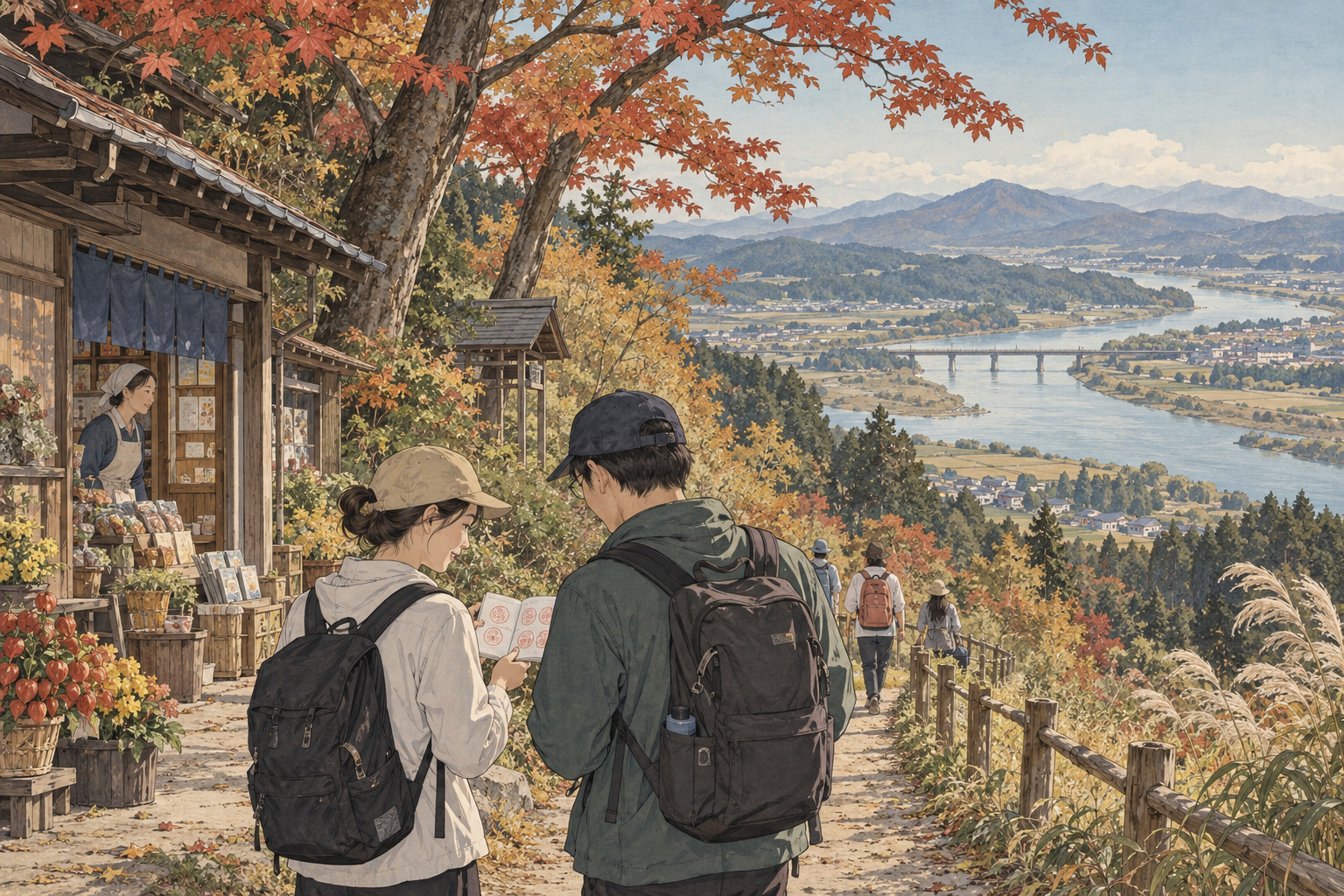
A roadside stop can introduce a place—or become the only part of it a traveler sees. In Futatsui, in the Akita city of Noshiro, an autumn bicycle campaign offers a reason to leave the parking area and explore the town. The 2026 Kimimachi Stamp Rally runs from September 12 to November 1. The local commerce association describes it as the fourth edition.[1][4]
Its starting point is Michi-no-Eki Futatsui, a roadside station. Participants rent a bicycle and use Noshiro’s official tourism app, 能代きみまち散歩, to collect digital stamps. The destinations extend beyond scenic Kimimachizaka to places where everyday community life takes place.[2][4] Read as a tourism experiment, the rally asks a practical question: what persuades someone already in the area to make one more stop?
Two incentives, two kinds of journey
The organizers have separated shopping from sightseeing without forcing participants to choose between them. On the キミマチコース, or Kimimachi course, using one participating business and collecting its stamp provides entry to a draw: three winners receive local products worth ¥5,000. On the cycling course, five stamps from seven designated locations earn a ¥500 voucher usable at the roadside station and participating businesses. Both courses can be undertaken together.[2]
The distinction matters. A prize draw encourages a transaction; a completion reward encourages movement between places. Combining the two could help a visitor connect an afternoon’s sightseeing with a business they might otherwise pass. That is an interpretation of the design, rather than evidence that the campaign has already increased sales.
Stamps are collected by scanning two-dimensional codes at the designated points. This is a rental-bicycle and smartphone activity, not a walking event organized around a paper stamp booklet.[2] Anyone planning around an imagined stroll through autumn woods would miss an important part of the arrangement.
A community map, not just a scenic circuit
The seven cycling-course locations are Kimimachizaka Park; the flower roundabout at JR Futatsui Station; Futatsui community hall; 恋文すぽっときみまち, a community and visitor space; ゆっちゃん; Sakurazutsumi Park; and Michi-no-Eki Futatsui. The flyer says a stamp is available at the roadside station when participants start.[3]
A community hall and a station forecourt may seem unremarkable beside a celebrated landscape. Their inclusion is precisely what makes the route interesting. They invite visitors to look at the town as a place that functions for residents, rather than a collection of attractions. A stop does not guarantee a conversation or a cultural encounter. It can, however, widen the visitor’s understanding of what belongs on a tourism map.
The business list likewise extends beyond restaurants and cafés to everyday trades, including watch shops.[3] The possibility here is modest but useful: someone comes for a reward, notices a business and remembers it. A neighborhood service gains a chance to become visible to a new customer without having to reinvent itself as a tourist attraction.
The hill behind the name
Kimimachizaka looks over the Yoneshiro River toward Mount Nanakura. Its distinctive Byōbu-iwa rock formations share the scene with trees whose appearance changes through the seasons. Across the water, Nanakura is a chain of seven peaks.[5][10] The landscape supplies an obvious reason to visit, but the name carries a separate history.
According to the Futatsui tourism association, Emperor Meiji visited in 1881 during his Tohoku tour and received a poem from the empress. The hill received its name the following year. This locally presented account underlies the area’s association with love letters.[5]
Naming the hill and establishing the park were different events. The association dates the park’s opening to November 3, 1924, and its designation as a prefectural natural park to 1964. The park celebrated its centenary in 2024.[6] Those dates reveal layers of public use and care behind what may first appear to be simply a pleasing view.
The rally adds another layer: an app now supplies a reason to move through a landscape whose identity was established long before digital tourism. The technology is new; the effort to give visitors a story and a destination is not.
A river that carried an economy
The Yoneshiro was also a working transport route. The roadside station’s historical account describes timber assembled into rafts at the Tenjin log-storage area below Nanakura and floated downstream to Noshiro, a practice that continued until 1964.[7] That history changes the reading of the view. Water and forest were linked by work as well as scenery.
The tourism association places nearby Niageba, at the meeting of the Yoneshiro and Fujikoto rivers, within a history of river commerce.[8] Seen in this context, a riverside outing can connect to questions about how resources moved, where goods changed hands and why settlements grew where they did.
There is no need to turn every stamp point into a history lesson. But one well-chosen piece of context can give an otherwise attractive photograph greater meaning. The river visible from a lookout once linked woodland resources to livelihoods downstream. Looking at it with that knowledge is a different experience from merely checking off a scenic stop.
How the railway shaped the town
The station is another clue to Futatsui’s development. The tourism association’s district history records that the railway and Futatsui Station opened in 1901, followed by transport businesses near the station and a concentration of shops in the 比井野 district, alongside inns and other services.[8]
Movement helped shape commerce. The river, railway and roads belong to different chapters of that relationship. A rented bicycle lets today’s visitor examine some of the resulting geography at a pace that permits stopping: where the station sits, where shops cluster and how the built-up area relates to the water.
This does not mean cycling automatically solves the problem of spreading visitor spending. A route may pass a shop while the shop is closed. A rider may complete every requirement without making another purchase. The useful question is what connections the itinerary makes possible—and whether local businesses can benefit from them.
Turning a roadside station into a starting point
Michi-no-Eki Futatsui combines retail and food with a history and folk-culture display area and a viewing deck. Its facility guide also highlights local products, including Akita cedar crafts.[9] That mix offers a way to frame the journey before departure and revisit it afterward: a landscape seen outside can acquire another meaning through an exhibit or an object made from local materials.
The rally’s broader promise lies in this relationship between the starting point and the surrounding town. A successful visit need not be long or expensive. Remembering a shop’s name, understanding a river’s former role or deciding to return in another season would all be more durable outcomes than a completed screen.
Assessing economic results would require more than a count of collected stamps. First-time customers, additional spending and repeat visits answer different questions. So does the experience of people who cannot comfortably use a bicycle or navigate an unfamiliar app. Those are useful tests for this kind of regional tourism, not claims about results already achieved in Futatsui.
Planning a visit
The campaign flyer gives bicycle reception hours of 9 a.m. to 5 p.m., with completion by 6 p.m. Business opening days vary, so the published participant list should be checked against the intended day of travel.[2][3] The campaign runs across early and later autumn; its dates should not be read as a prediction of peak foliage.
The operator’s announcement lists a one-person cross bike at ¥200 per hour and a two-person tandem at ¥400 per hour. Its rental conditions include a minimum height of 144 centimeters, a parent or guardian accompanying users under 18, and photographic identification. Contact Michi-no-Eki Futatsui on 0185-74-5118 for rental and participation details.[1]
The flyer asks riders to wear helmets, avoid phone use while riding and follow any local access restrictions.[3] Leave time to stop before scanning a code—and to look beyond the phone afterward. The most valuable discovery may be the place a visitor had not planned to remember.
Sources and references
- Michi-no-Eki Futatsui: 2026 campaign announcement, September 7
- Organizers’ flyer, front: dates, entry procedure and course rewards
- Organizers’ flyer, reverse: participating businesses, seven stops and precautions
- Futatsui Town commerce association: fourth rental-cycle rally, September 10
- Futatsui tourism association: Kimimachi-Zaka Prefectural Natural Park
- Futatsui tourism association: park centenary chronology, March 5, 2024
- Michi-no-Eki Futatsui: tourism guide and timber-rafting history
- Futatsui tourism association: district history and development
- Michi-no-Eki Futatsui: facilities and local products
- Futatsui tourism association: Mount Nanakura

