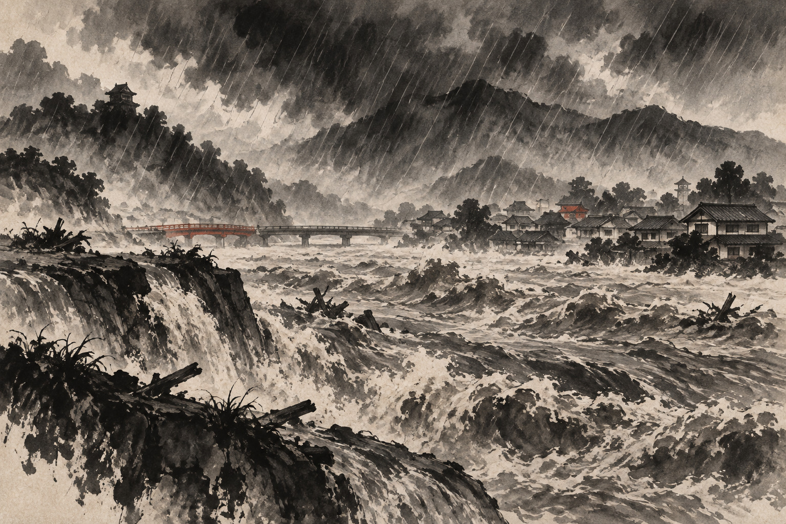
Nagoya’s evening commute dissolved into a water emergency. Roads vanished beneath runoff, water erupted from manholes, rail lines flooded and the municipal subway and bus networks stopped. Above the city, a band of thunderstorms repeatedly regenerated across western Aichi and southern Gifu, concentrating extraordinary rainfall over the same communities.
At 6:20 p.m. on September 8, the Japan Meteorological Agency and the Ministry of Land, Infrastructure, Transport and Tourism issued a Level 5 Flood Emergency Warning for the Shonai River flood-forecast zone. It was the highest category in a national warning system that had been operating for barely three and a half months.
The zone was broad: Nagoya, Seto, Kasugai, Komaki, Ichinomiya, Inazawa, Kiyosu, Kitanagoya, Ama, Toyoyama, Oharu and Kanie in Aichi Prefecture, plus Tajimi and Toki in Gifu Prefecture. Yet the government’s briefing identified one immediate Level 5 threshold: the Seko reference gauge on the Yada River, a Shonai tributary in Nagoya, had reached the “flood occurrence level.” Officials warned that flooding could already be occurring along the gauge’s assigned reach.
The geography hidden inside a river name
“Shonai River warning” can sound as though the main channel failed everywhere from Gifu to Ise Bay. That is not what the bulletin said. Japan’s designated-river forecasts use the name of a flood-forecast area or water system. The decisive observation may come from one tributary and one assigned reach, while the alert lists every municipality whose territory intersects the modeled inundation area.
The distinction does not make the warning less urgent. A tributary at the flood occurrence level inside a dense metropolis can threaten lives before crews have time to confirm each overflow point. But it changes the factual claim. The official document said flooding on the Yada was possible or extremely likely; it did not report a confirmed, basin-wide levee breach of the Shonai main stem.
This also explains why Gifu municipalities appeared in the warning even though the named trigger was in Nagoya. The same 96-kilometer river is called the Toki River in Gifu and the Shonai in Aichi. Water from the headwaters, tributaries and urban reaches belongs to one connected forecasting system.
Two station records in the same hour
By 6 p.m., the Nagoya station in Chikusa Ward had measured 104.5 millimeters in one hour and 213.0 millimeters in 12 hours. Tajimi recorded 93.0 millimeters in an hour and 180.0 millimeters over 12 hours. Both hourly totals set all-time station records, according to the joint government briefing. Kanie measured 74.5 millimeters in an hour; Minokamo received 57.5 millimeters, a September record there.
Rain at roughly 100 millimeters an hour overwhelms the visual scale of ordinary weather. Roofs, pavement and rail corridors shed water faster than culverts and sewers can carry it. As rivers rise, cities may also have less room to pump stormwater outward. Flooding can therefore arrive by several paths at once: a river over its bank, a smaller channel backing up, or rain accumulating inside levees because drainage capacity has been exceeded.
The transportation effects were immediate. Nagoya’s subway suspended service across all lines for several hours, city buses stopped for the rest of the day, and JR Central and Meitetsu routes suffered suspensions and flooding. Nagoya’s public schools were closed on September 9. Those disruptions document the storm’s urban reach, but they are not proof that every flooded site was connected directly to the Shonai.
A Level 5 warning—and a different Level 5 order
Japan overhauled its disaster-weather vocabulary on May 29, 2026. Flooding, heavy rain, landslides and storm surge are now described with names carrying the same one-to-five scale used for public evacuation guidance. The Level 5 Flood Emergency Warning was newly established for designated large rivers when flooding is imminent or occurring.
Municipalities issue a separate Level 5 instruction called Emergency Safety Measures. The two share a number because they correspond to the same danger tier, but they do different jobs. The JMA and river manager describe the hazard; a mayor tells residents how to act. During the Nagoya emergency, municipal Level 5 measures expanded to 14 wards, 607,879 households and 1,172,102 people, according to contemporaneous local reporting.
| Message | Issuer | Operational meaning | Expected action |
|---|---|---|---|
| Level 5 Flood Emergency Warning | JMA and river manager | A designated large river is flooding or at extreme, imminent risk | Protect life immediately; conventional evacuation may already be unsafe |
| Level 5 Emergency Safety Measures | Municipality | Disaster has occurred or is imminent and lives are in danger | Move to the safest available nearby place or upper floor |
| Level 4 Evacuation Instruction | Municipality | Everyone in a dangerous location should evacuate | Complete evacuation before conditions reach Level 5 |
What happened after 6:20 p.m.
The Shonai River Office had entered its emergency posture at 5 p.m. after the Seko gauge exceeded the evacuation judgment level. As the main Shonai rose, water began flowing over the Shin River diversion weir at about 7 p.m. The structure intentionally routes part of a Shonai flood toward the Shin River system; its operation is therefore an observed overflow at a flood-control facility, not evidence of an accidental levee breach.
The river office recorded the end of that overflow at 12:30 a.m., after the Shonai’s water level fell. Ten minutes later, the Level 5 warning was changed to a Level 2 Flood Advisory. A rapid downgrade does not show that the original warning was mistaken. River warnings describe a changing hazard in real time, not a retrospective damage score.
Early Aichi counts reported four people injured, seven homes flooded above floor level and initially 11 below floor level; later reporting placed below-floor cases at 21. Those figures were still provisional. The basin-wide totals, the final number of inundated buildings, confirmed river overflow locations and the attribution of each flooded neighborhood remained under assessment.
A 96-kilometer urban river
The Shonai rises at Mount Yudachi in Ena, Gifu Prefecture. Known upstream as the Toki, it passes through Mizunami, Toki and Tajimi, cuts through the prefectural boundary and descends into the Nobi Plain. In Aichi it gathers tributaries including the Yada, skirts northern and western Nagoya, and reaches Ise Bay. Its basin covers 1,010 square kilometers and supports about 4.3 million people.
The two names carry regional history. Before the modern era, Aichi communities called stretches of the river Tamano, Kachigawa, Biwajima and other local names. “Shonai” is thought to have emerged around the Edo-period Yamada estate, describing a river within the estate. The modern name was standardized in the Meiji era, while “Toki River” survived upstream in Gifu.
Its risk changes character along the route. The upper basin alternates between narrow gorges and developed basins. The lower basin crosses one of Japan’s largest urban concentrations and reaches lowlands at or below sea level. Intense rain upstream can send a delayed surge downstream; intense rain over Nagoya can fill streets and tributaries before the main river peak arrives.
The flood that redesigned the basin
The governing historical reference is the Tokai Heavy Rain of September 11–12, 2000. Nagoya measured 93 millimeters in its wettest hour and 567 millimeters over the episode. At Biwajima, about 15 kilometers from the river mouth, the Shonai reached 9.36 meters and remained above the planned high-water level for roughly four hours.
Overflow from the Shonai, a breach on the Shin River and severe internal flooding inundated about 19 square kilometers around Nagoya. Approximately 29,000 people evacuated and more than 18,000 homes were damaged in the immediate Shonai-Shin area. A broader government accounting for Aichi recorded seven dead or missing, 107 injured and 34,041 affected buildings.
Reconstruction strengthened and raised levees, excavated channels, improved the Shin River diversion weir, expanded detention capacity and rebuilt constrictions. The Orikawa Dam and the Otai detention basin became part of a system designed to reduce peaks rather than rely on one wall. Aichi-section planning has aimed to pass a flood comparable to the 2000 event safely.
September 8 exposed why the work cannot end at the channel edge. Nagoya’s new 104.5-millimeter hourly record exceeded the 2000 hourly maximum at the station even though the storm’s total, distribution and river response were different. Flood safety now depends on basin-wide storage, sewer and pump capacity, land use, buildings, information and early individual action—the portfolio Japan calls integrated basin flood management.
September 1959 — Typhoon Vera breaches the Shonai and Shin rivers at 13 locations.
September 2000 — The Tokai Heavy Rain inundates 19 square kilometers around Nagoya.
May 29, 2026 — Japan begins its reorganized five-level warning system.
September 8, 6:20 p.m. — Level 5 Flood Emergency Warning issued for the Shonai.
September 9, 12:30 a.m. — Overflow ends at the Shin River diversion weir.
12:40 a.m. — Warning downgraded to Level 2.
The audit that follows the water
Investigators will need to align rainfall radar, gauge curves, tributary inflows, pump operation, sewer capacity, the diversion-weir flow and reports from each flooded street. Only then can they separate river flooding from pluvial flooding and determine which defenses performed as designed.
The new warning system also faces a major communication test in one of Japan’s largest cities. A single headline named two prefectures and 14 municipalities, while the briefing’s concrete Level 5 trigger was one tributary reach. The public needed both messages at once: the danger could propagate through the basin, and the immediate evidence was geographically specific.
That is the lesson of the night. A highest-level warning can be fully justified without proving that catastrophe occurred everywhere it was heard. Its purpose is to act before uncertainty is resolved. The later work of journalism, engineering and public administration is the opposite: narrow every claim until the map of what actually happened becomes precise.
- Warning times, rainfall and gauge status are confirmed in JMA and MLIT releases.
- Injury and home-damage figures were preliminary and subject to revision.
- No basin-wide breach of the Shonai main stem was announced; the identified Level 5 trigger was the Yada River at Seko.
- External river flooding, tributary overflow and urban drainage flooding must still be assigned site by site.
- MLIT and Japan Meteorological Agency, “Level 5 Flood Emergency Warning issued for Aichi and Gifu,” September 8, 2026 — issuance time, municipalities, Seko gauge, rainfall and safety guidance.
- Shonai River Office, emergency and disaster-information log — emergency posture and end of overflow at the Shin River diversion weir.
- Shonai River Office, notice that overflow began at the Shin River diversion weir, September 8, 2026 — observed start time.
- Japan Meteorological Agency, “New disaster prevention weather information from 2026” — May 29 launch and meaning of the reorganized warning levels.
- Ministry of Land, Infrastructure, Transport and Tourism, Shonai River system profile — source, course, tributaries, length and basin area.
- Shonai River Office, “Origin of the Toki River name” — naming history of the Toki and Shonai.
- Shonai River Office, Shonai basin flood-management publication — basin population, terrain and integrated flood management.
- Shonai River Office, Tokai Heavy Rain 20-year archive — 2000 rainfall, water levels, inundation and reconstruction.
- CBC News, “Heavy rain strikes the Tokai region,” September 8, 2026 — preliminary Aichi injury and housing-damage count.
- ANN, “Nagoya records its heaviest rain,” September 9, 2026 — updated inundation and transport reporting.
Editorial note: Japanese river, gauge, municipality and warning names were checked against Japanese government and municipal sources. The report distinguishes a warning-area designation from a confirmed flood location, a controlled weir overflow from a levee breach, and river flooding from drainage flooding. Preliminary damage remains attributed and time-bound.