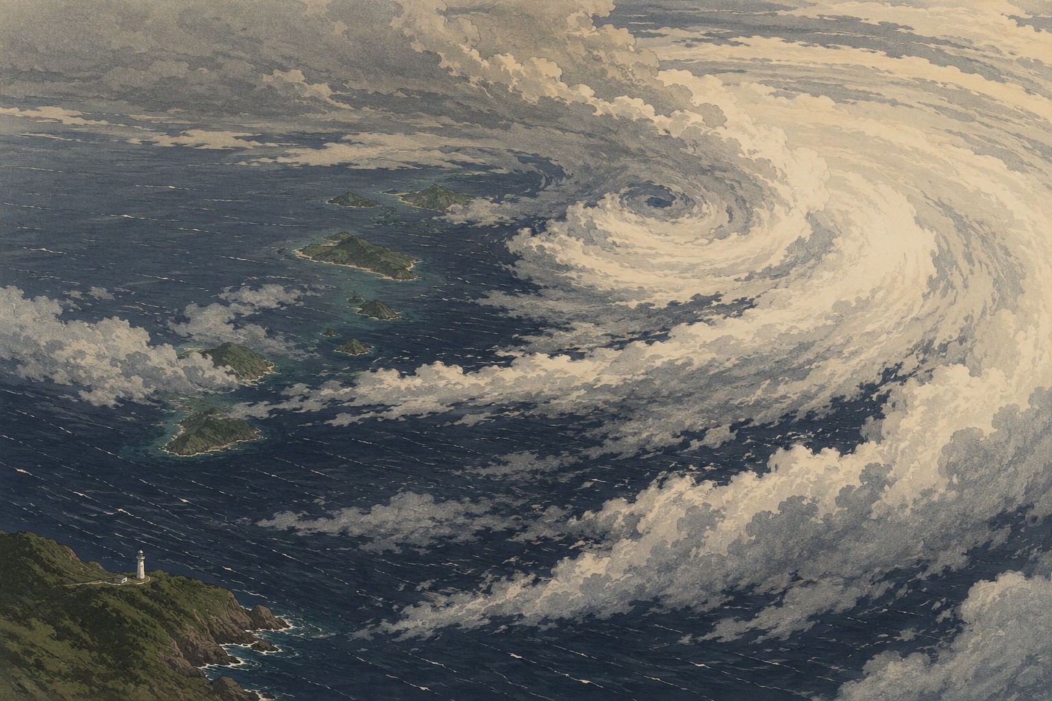
Far southeast of Okinawa and Amami, Typhoon Saudel was already a dangerous storm at noon on Sunday. The Japan Meteorological Agency placed its center near 21.6° north, 141.8° east, moving west-northwest at 30 kilometers per hour. Its analyzed central pressure was 950 hectopascals, with maximum sustained winds of 40 meters per second near the center and gusts to 60 meters per second.
The first discipline is separating observation from forecast
At noon Sunday, JMA classified Saudel as a “strong” typhoon. It forecast the storm to strengthen again by midnight and remain “very strong” at noon Monday, with a central pressure of 935 hectopascals, sustained winds of 45 meters per second and gusts to 65 meters per second. Those Monday figures are a forecast, not a description of the storm at publication cutoff.
That distinction matters. Fast-moving updates often cause an earlier estimate, a present analysis and a future peak to circulate as though they describe the same moment. Central pressure is one indicator of intensity, but it does not by itself determine damage. Wind-field size, track, forward speed, terrain, tides and the placement of rain bands all shape what a community experiences.
Daito first, then the Okinawa Island area
| Valid time | JMA forecast | What it suggests |
|---|---|---|
| Aug. 24, noon | 23.8°N, 135.8°E; 935 hPa; 45 m/s | Very strong typhoon forecast |
| Aug. 25, 9 a.m. | 25.4°N, 131.4°E; 950 hPa; 40 m/s | Approaching the Daito Islands |
| Aug. 26, 9 a.m. | 26.7°N, 127.4°E; 960 hPa; 40 m/s | Forecast center near Okinawa Island |
| Aug. 27, 9 a.m. | 26.6°N, 124.3°E; 965 hPa; 35 m/s | Westward track; wider uncertainty |
On the current track, conditions around the Daito Islands could deteriorate first, around Tuesday, with the greatest concern shifting toward Okinawa Island around Wednesday. Amami may be affected by wind, waves, swell and rain on the storm's northern side. A direct passage over Amami was not established by Sunday's bulletin: a northward deviation would increase the threat, while a more southerly course would change it.
A forecast circle is not the size of a typhoon
The forecast-circle radius expands from 155 kilometers for Tuesday morning to 220 kilometers Wednesday, 280 kilometers Thursday and 330 kilometers Friday. That does not mean the physical storm is expanding at the same rate. JMA defines a forecast circle as the area in which the center is expected to be located with a probability of roughly 70 percent. It grows because track uncertainty generally increases with time.
The storm's wind areas are different measurements. At noon Sunday, winds of at least 25 meters per second extended 150 kilometers in all directions. The area of winds of at least 15 meters per second reached 390 kilometers to the northeast and 330 kilometers to the southwest. A centerline alone therefore cannot describe who may feel serious effects.
Island life changes before the center arrives
Long-period swell can reach shore before the closest approach. Ferries may stop, aircraft rotations may be rearranged, and supplies to smaller islands can narrow while skies still appear manageable. Outdoor items should be secured before winds strengthen. Once gusts begin, trying to retrieve a sign, planter, tool or laundry pole can create a greater hazard than leaving it alone.
Residents can charge phones and battery packs, check flashlights, water, medication and infant supplies, and confirm where they would shelter if local authorities advise movement. People dependent on refrigerated medicine or powered medical equipment should review outage arrangements with medical providers or their municipality. Travelers need to consider not only whether a departure flight operates, but whether roads and public transport can get them to the airport safely.
“Approach” has an official meaning
In JMA statistics, a typhoon “approaches Okinawa and Amami” when its center comes within 300 kilometers of a meteorological station in Okinawa Prefecture or the Amami Islands. That is not the same as landfall. For a chain of islands, a near pass can still halt transport and expose communities to the storm's broad wind field, rain bands and swell.
Through August 20, JMA had counted five approaches to Okinawa and Amami in 2026. If Saudel meets the statistical definition, it will become the year's sixth. Recurrence does not make one storm predictable from another. Wind direction, tide, rainfall concentration and the vulnerability of each harbor or settlement differ from case to case.
How five-day warning time became normal
Today's forecast map is the product of a long expansion in warning time. JMA began issuing five-day track forecasts in April 2009. Five-day intensity forecasts followed in March 2019. Satellites, numerical models and wider observation networks now let governments, transport operators and households begin preparing several days before the likely closest approach.
Longer range is not the same as certainty. Modern forecasts communicate uncertainty visibly through the circle around the possible center. The correct reading of Saudel after Wednesday is therefore a range of plausible tracks, not a promise that the storm will travel along one thin line.
The name Saudel—and what it does not tell us
Saudel is the official international name; JMA renders it in Japanese as ソウデル. Micronesia proposed the name, which JMA defines as a guard of a legendary chief. Since 2000, the Typhoon Committee has used a rotating list of 140 Asian names proposed by member countries and territories. Names associated with exceptionally destructive storms can be retired and replaced.
In domestic Japanese warnings, “Typhoon No. 18” is the primary public-safety identifier. The name may make a storm easier to remember, but it contains no information about severity. Decisions should rest on the latest analysis, warning level, probability of entering the storm-force wind area and local evacuation guidance.
The value of the next 48 hours
At Sunday's cutoff, many communities in Okinawa and Amami still had time to prepare. That time is not a reason to wait for a perfectly settled track. It is a chance to create a plan that works if the forecast shifts: confirm family contacts, assist people who need more time to move, prepare for outages and consider what happens if ferries interrupt food or medicine deliveries.
Typhoon coverage naturally focuses on the dark spiral in satellite imagery and the falling number at the storm's center. Safety is decided in a quieter place: the home, harbor or hotel where someone uses the remaining calm hours to make one practical choice after another. Saudel's future track still has width. That uncertainty is precisely why early preparation matters.
- Japan Meteorological Agency: Typhoon No. 18 analysis and forecast
- JMA: tropical-cyclone information
- JMA: terminology for forecast circles and wind areas
- JMA: approaches to Okinawa and Amami
- JMA: typhoon numbering and Asian names
- JMA: history of meteorological services
Editorial note: Track and intensity data are current through the 12:45 p.m. JST bulletin on August 23. Location-specific rainfall, wave, storm-surge, warning and transport figures were not frozen into the copy because they require a final pre-publication update. Japan.co.jp did not directly interview JMA, municipal officials, transport operators or residents.