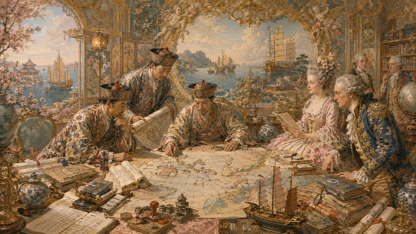
Whether the islands are seen as the edge of a map or the center of a sea route changes the history of Ryukyu completely. Long before modern national borders hardened, the chain extending southwest from Japan stood at a maritime crossroads linking Fujian, Korea, Kyushu, Satsuma and Southeast Asia. Ships entering Naha carried sulfur, horses, ceramics, silk, fragrant woods, pepper and lacquerware—but also languages, diplomatic ritual, religion, technology and news of the wider world.
The exhibition opening August 7 at the Okinawa Prefectural Museum & Art Museum reconstructs that oceanic world through documents and maps. Some materials collected, copied or photographed by the University of Tokyo’s Historiographical Institute since the Meiji era will be shown in Okinawa for the first time. In several cases, copies preserved in Tokyo outlived originals later lost to earthquake, fire or war. The exhibition is therefore both a display of treasures and an inquiry into how memory survives.
What it means for records to return home
The Historiographical Institute does more than store old paper. Its scholars traveled, surveyed originals, made copies and photographs, built catalogs and edited sources into forms that could be compared. Work on Ryukyuan material began before the Pacific War. When originals disappeared in 1945, prewar photographs and transcripts sometimes became the only surviving route back to their contents.
That history carries tension. Central custody helped some evidence survive, yet distance also made local access harder. Showing the records in Naha is not merely a sentimental homecoming. It reopens questions of who possesses history, who may read it and who has the authority to tell it to the next generation.
Ryukyu was not a periphery but a maritime state
In 1429, Shō Hashi is traditionally credited with unifying the three competing realms of Okinawa and forming a kingdom centered on Shuri. Its prosperity, however, did not come from the island alone. Using its tributary relationship with Ming China, ships, navigational knowledge and skilled personnel, Ryukyu dispatched missions and merchants toward Japan, Korea, Siam, Malacca, Java and Sumatra.
UNESCO’s description of the Gusuku Sites emphasizes that the islands served for centuries as a center of economic and cultural interchange among Southeast Asia, China, Korea and Japan. Shuri Castle was a royal residence, but it was also the command center of a diplomatic and logistical system connected to Naha’s harbor below.
Tribute was also a system of trade
To treat the Ming and Qing tributary order only as submission is to miss Ryukyu’s agency. Missions delivered tribute, received imperial gifts, gained licensed trading opportunities and reinforced the king’s legitimacy. Participation in a hierarchical system produced political recognition and commercial advantage at the same time.
The diplomatic archive known as the Rekidai Hōan preserves correspondence with China, Korea and Southeast Asia. Behind ceremonial phrases lie the practical mechanics of a maritime state: shipwrecks, repatriation of castaways, cargo, ports, schedules, conflict resolution and the drafting and translation of letters. Ryukyu’s internationalism was built by officials, interpreters and sailors performing dangerous, repetitive work.
| Partner region | Principal relationship | What moved through Ryukyu |
|---|---|---|
| China | Investiture, tribute, trade and study | Legitimacy, writing systems, ceramics, silk and technical knowledge |
| Japan and Satsuma | Trade, diplomacy and rule after 1609 | Metals, swords, silver, political pressure and a dual structure |
| Korea | Missions, castaway repatriation and exchange | Books, crafts and regional information |
| Southeast Asia | Entrepôt trade and port diplomacy | Spices, sappanwood, ivory, tropical goods and navigational knowledge |
The kingdom as a “bridge between nations”
An inscription on the famous bell associated with Shuri described Ryukyu as the “bridge of nations.” It was not a modern tourism slogan. The kingdom represented maritime exchange as part of its own state identity.
Trade was never frictionless or consistently peaceful. Monsoons, typhoons, wrecks, piracy, competition between ports, Ming maritime restrictions, silver flows and the arrival of Portuguese merchants repeatedly changed the environment. Ryukyu’s great age of intermediary trade weakened as Chinese, Japanese and Southeast Asian merchants formed more direct connections. A bridge is also a place most exposed to shifts on either shore.
The double diplomacy after 1609
In 1609, forces of the Shimazu domain of Satsuma invaded Ryukyu. The kingdom continued its formal relations with China while falling under Satsuma’s control. It thereafter occupied an unusual position inside both the Chinese tributary order and Japan’s Tokugawa political system.
This duality should not be romanticized simply as diplomatic cleverness, nor reduced to total passivity. It involved taxation, tribute, surveillance, the management of clothing and language, and careful control of information. Records reveal both the adjustments that preserved the kingdom and the price of making them.
A map is geography—and power
The exhibition joins written records with maps because cartography is unusually eloquent. The 1796 Map of the Kingdom of Ryukyu, made with the royal government’s surveying techniques, precisely depicts Okinawa and surrounding islands and fills the image with minute place names. It is visually beautiful, but it was also an information system for knowing and governing villages, roads, coasts and islands.
A featured image in the museum’s 2026 program depicts three French ships arriving at Unten. Such a map is not merely a landscape. It records where foreign vessels entered, how officials responded and how an outside power appeared at a specific harbor. The world beyond the islands was not an abstraction; it could materialize offshore without warning.
Originals lost in the Battle of Okinawa
The Battle of Okinawa destroyed not only lives but royal documents, family genealogies, temple records, architecture, works of art and local memory. The Shuri area became a battlefield, and a vast body of surviving prewar material vanished. Photographs and hand copies made before the war therefore became more than reproductions. They became the only doorway to originals that no longer existed.
The lesson is stark. Cultural heritage is not safe merely because it is held in one place. Resilience requires preservation of originals, continuity in the community, exact reproductions, geographically distributed data and digital images that can be accessed without repeatedly handling fragile objects.
1372: Formal relations with Ming China are generally dated from this year.
1429: Unification under Shō Hashi and formation of the Shuri-centered kingdom.
15th–16th centuries: Entrepôt trade links China, Japan, Korea and Southeast Asia.
1609: Satsuma invades; Ryukyu remains tied to China under Japanese control.
1796: The royal government creates its detailed Map of Ryukyu.
1879: The kingdom is abolished and Okinawa Prefecture established.
1945: War destroys large quantities of documentary and cultural heritage.
2026: University of Tokyo Ryukyu records are exhibited in Naha.
Digital access changes the meaning of return
In 2026, the Historiographical Institute announced that it would receive image data for the 1796 map from the Okinawa Churashima Foundation and build a system for broad online access. High-resolution imagery can allow readers anywhere to compare place names, brushwork, color and corrections without moving the original.
Digitization is not the same as the object. Paper thickness, pigments, inscriptions on the reverse, folds and provenance still require physical study. But online access can narrow the distance between a Tokyo archive and schools in Okinawa, residents of outlying islands, overseas researchers and Okinawan communities abroad. It can soften—though not erase—the old conflict between preservation and access.
Surrounded by sea, or connected by it
Modern maps draw national borders heavily. From that perspective, Okinawa becomes Japan’s southwestern edge. Place the old documents and maps side by side, however, and another geography appears. Naha was not an endpoint but a port. Shuri was not a provincial castle town but a diplomatic capital. The islands were not isolated points but a chain of routes.
Visitors may leave with more than admiration for beautiful paper. Who crossed the water? Who drafted the letters? What was destroyed, and what survived because someone copied it? Ryukyu’s records recover a world that was wider than later borders suggest. The vessel carrying that world into the future is now the archive itself.
Reporting notes and sources
Exhibition details and historical context are based on public materials from the organizing museum, the Historiographical Institute of the University of Tokyo, UNESCO and the National Diet Library. Displays may rotate during the run, so visitors should check the official listing before traveling.