- A long walk between a school and safety
- A three-stage experiment rather than a one-day drill
- What nearly five kilometers feels like after an earthquake
- What children noticed that a hazard map cannot show
- Why Nishio’s coastal geography makes escape difficult
- A place to survive is not necessarily a place to live
- A history written by disasters and revised maps
- When a child is away from family
- A changing national agency, a persistent local challenge
- The test that matters comes after the walk
A long walk between a school and safety
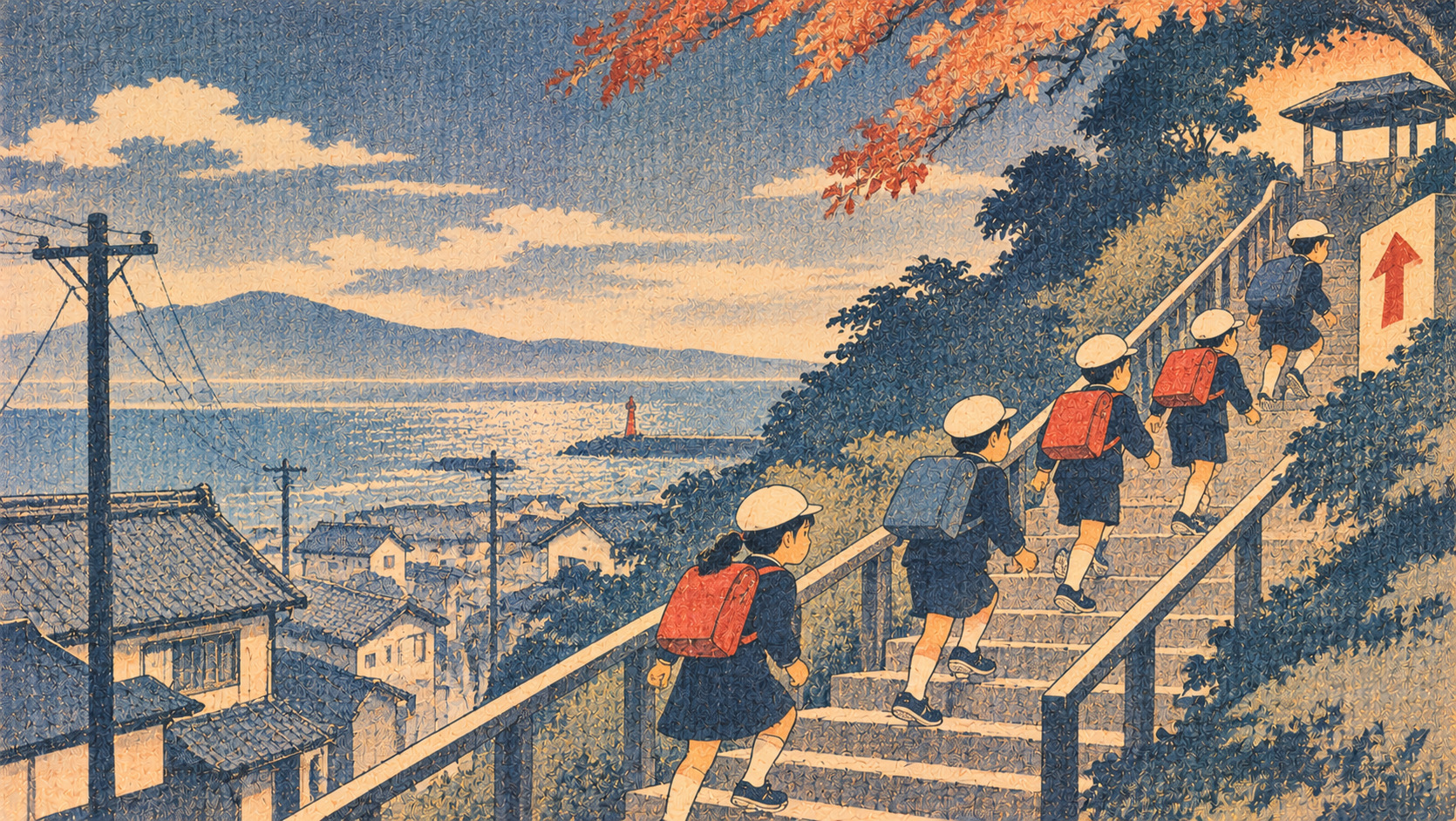
The most consequential detail in a tsunami evacuation plan may not be a line on a map. It may be a wall that could collapse, a road that cannot be crossed, or a distance a child has never tried to cover. In Nishio, a coastal city in Aichi Prefecture, elementary-school pupils and neighbors walked an evacuation route on November 6, 2026, testing the practical meaning of leaving a tsunami-risk zone. The exercise challenged a reassuring assumption: that knowing a destination is the same as being able to reach it.
CBC television reported that approximately 90 children and residents took part, walking nearly five kilometers toward a shrine beyond the mapped tsunami-warning area. The city's advance plan identifies the participants as fifth- and sixth-graders from Yoshida Elementary School and describes Kasuga Shrine as the destination. This is documented post-event reporting, not proof that everyone could complete the trip under genuine earthquake conditions. No comprehensive evacuation-time results or post-exercise municipal performance assessment were available in the documents reviewed.
Sources: Official drill announcement · CBC field report
A three-stage experiment rather than a one-day drill
Nishio's program deliberately divided learning into three steps. A workshop on October 4 asked participants to plan routes on a neighborhood map. On November 6, pupils would walk the route. A follow-up session on November 8 was designed to compare expectations with actual experience. The original September 29 announcement, issued in the city's name, described a partnership with the Cabinet Office; Ritsumeikan University professor Munenari Inoguchi was named as the advance workshop lecturer.
The distinction matters. A classroom can teach what a tsunami is, and a map can show where danger is expected. Neither necessarily reveals how intersections, damaged roads, uncertain signage or physical fatigue shape decisions on the ground. The city's November 8 event schedule included a debrief, but that is not the same as a published account of the conclusions reached there. This report does not invent final recommendations from a meeting whose documented outcomes could not be confirmed.
Sources: Official drill announcement · City event notice
What nearly five kilometers feels like after an earthquake
The city scheduled the November 6 exercise from Yoshida Elementary School toward Kasuga Shrine, outside the tsunami disaster-warning area. CBC's coverage described a journey approaching five kilometers. The distance makes the community's challenge unusually tangible: the problem is not simply to identify higher ground, but to decide how and when ordinary people can reach a safe area on foot.
A real major earthquake adds uncertainty missing from a scheduled walk. Debris can block a road; aftershocks may change its condition; walkers may have injuries or limited mobility; rain or darkness can complicate navigation. A training distance cannot be converted mechanically into a safe evacuation time without considering the hazard scenario, available warning, starting point and people involved. The walk supplied firsthand experience of the route, not a guarantee of future safety.
Sources: Official drill announcement · CBC field report
What children noticed that a hazard map cannot show
CBC reported that pupils identified potentially dangerous block walls along the way. One child's observation was straightforward: an evacuation journey can itself contain earthquake hazards. A municipal flood or tsunami map may show inundation depths with considerable care while offering little sense of whether a particular wall could topple onto a narrow street.
Such observations are an invitation to follow-up engineering and local planning, not a substitute for them. The decisive questions are which walls or crossings were noted, whether obstacles have been mapped, who owns the infrastructure, and what alternatives could be used if a path becomes unusable. The broadcast did not establish that all those questions have been answered. Nor does a reported worry about walls demonstrate that a particular structure was actually unsafe.
Sources: CBC field report
Why Nishio’s coastal geography makes escape difficult
Nishio borders Mikawa Bay and includes low-lying coastal districts. Its official tsunami guidance warns that some expected inundation areas have few high-ground locations or tall buildings, making an early start especially important. Municipal neighborhood disaster profiles differentiate designated evacuation objectives, temporary tsunami refuge facilities and broader hazard forecasts. This is a community where a person may need to travel a substantial distance to escape the modeled risk area.
Those maps describe modeled hazards and planning assumptions, not a prediction of the exact next tsunami. Nishio's tsunami evacuation plan was developed using Aichi Prefecture's inundation scenarios released in 2014 and has been amended since. The city also publishes local hazard maps and neighborhood-specific materials for the Yoshida district. Understanding the route requires combining regional models with the details of streets, buildings, bridges, and the time available for movement.
Sources: City evacuation plan · Neighborhood risk profile
A place to survive is not necessarily a place to live
There is an important distinction in the city's guidance between a temporary tsunami refuge and a shelter where people might live after escaping immediate danger. A tsunami tower or another high location can offer emergency protection for someone unable to reach the outside of the risk zone. It does not necessarily have the capacity or function of a longer-term evacuation shelter.
Nishio advises residents who can move to escape the tsunami disaster-warning area on foot in principle, while recognizing that some people may need a temporary refuge. The practical lesson for families is to learn the local options and their limitations, not to assume any school building or tower is automatically safe for every scenario. During an actual emergency, immediate official warnings and conditions must take precedence over a route practiced months earlier.
Sources: City guidance · City hazard maps
A history written by disasters and revised maps
The Great East Japan Earthquake and tsunami of March 11, 2011, forced governments, schools and communities to reconsider how people interpret warning systems and imagined risk boundaries. It helped sharpen attention to early action, evacuation behavior and the difference between having a plan and being able to execute it. The history of tsunami preparedness is not a simple progression toward perfect prediction; it is a record of repeated revision after terrible consequences.
Nishio's municipal tsunami evacuation plan draws on Aichi's 2014 scenarios. Its hazard-map service also provides material linked to the tsunami warning areas designated in 2019, and publishes multilingual maps. These documents are essential for local planning, but a printed boundary cannot assess a fallen wall or a child's endurance. Practical exercises help fill that gap without replacing expert hazard modelling.
Sources: City evacuation plan · City hazard maps
When a child is away from family
The October planning workshop proposed questions with no comforting one-line answer: where would someone go if an earthquake occurred while they were in Yoshida, which path would they choose, and what would happen if family members were separated? A child leaving school, a parent at work and an elderly neighbor shopping may face different distances and choices even within the same district.
An evacuation plan should therefore be part of family communication rather than a school instruction memorized in isolation. Households can discuss reunification after reaching safety, alternatives if a route is blocked and ways to receive municipal alerts. Pupils' practical experience can help adults ask better questions. It cannot place responsibility for protecting a community on children alone.
Sources: City workshop notice
A changing national agency, a persistent local challenge
There is a small but revealing change in official labeling. Nishio's September announcement described the program as jointly organized with the Cabinet Office, while its November municipal notice referred to the city and the new Disaster Management Agency. CBC reported the November 6 exercise as receiving support from the recently established agency. The shift in administrative identity does not, by itself, establish a change in the ground-level safety of the route.
Nishio designated October and November a citywide disaster-preparedness campaign for roughly 170,000 residents. The associated activities encourage households, schools, employers and neighborhood organizations to revisit supplies, furniture safety, emergency contacts and evacuation arrangements. Effective public preparedness requires a combination of government capacity, local cooperation and individual readiness, while remembering that not everyone has the same ability to move quickly or independently.
Sources: City event notice · Cabinet Office materials
The test that matters comes after the walk
The November 6 exercise has already produced something more useful than a hypothetical scenario: verified reporting that children and residents made a lengthy journey and noticed hazards along the way. What remains unverified is whether those observations produced route changes, repairs, new warnings or better arrangements for people unable to cover the same distance. The planned November 8 workshop could have been an important venue for that work, but its decisions should not be imagined in advance.
Nishio's experience offers a question for every coastal municipality: what happens to a risk map after its residents walk the route? The answer should ultimately be measurable—in barriers identified, alternatives tested, responsibilities assigned and plans updated. Otherwise even a successful exercise may leave tomorrow's children facing the same uncertainty.
Sources: Official drill announcement · CBC field report
Source documents and verification
CBC establishes that the November 6 exercise occurred. The November 8 debrief outcomes are not yet verified; advance plans are not substituted for results.
- Nishio City — drill plan and three-stage design
- CBC Television — November 6 field reporting
- Nishio City — tsunami evacuation plan
- Nishio City — shelters and temporary refuge
- Nishio City — tsunami hazard maps
- Nishio City — November 8 event
- Cabinet Office — tsunami preparedness
- Nishio City — Yoshida neighborhood profile
- Nishio City — workshop notice