A storm recorded in two distant places
On September 13, 1957, magnetic instruments in Algeria and Antarctica drew traces of a disturbed Earth. Their squiggling lines survive in a paper-and-film record of an age before satellite constellations and digital data feeds. A new archive led by Kyoto University makes those traces and roughly 1.4 million other scanned images easier to find, inspect and compare. The October 30 university announcement is not a claim to have discovered a previously unknown solar storm. Its significance is that evidence once scattered across fragile formats and difficult interfaces has been opened to systematic scientific scrutiny.
The archive has a name: COMPASS
COMPASS stands for Comprehensive Magnetogram Portal and Archive Service System. Researchers at Kyoto University, Nagoya City University and Nagoya University developed the service, which is operated through the World Data Center for Geomagnetism, Kyoto. The collection draws on 121 observatory locations and spans more than a century of historical records. Its roughly 1.4 million items are digitized images, not 1.4 million new magnetic-field readings. They include magnetograms, which show variations in Earth’s magnetic field, and a smaller set of tellurigrams, which preserve earth-current measurements. Not every station has a continuous record covering the same years.
Why a magnetogram matters
Solar outbursts can disturb Earth’s magnetosphere. The resulting geomagnetic storms may accompany spectacular auroras, yet their effects can extend far beyond the sky. Fast changes in the magnetic field induce electric fields and currents in the ground and long engineered conductors. Modern power systems, satellites, positioning services and some communications can be vulnerable under particular conditions. The effect on an actual grid depends on its topology, geography, ground conductivity and operating state. A record of a large storm is therefore not automatically a forecast of a power outage, but it supplies evidence researchers can use to improve models and risk assessments.
A magnetic instrument that writes with light
Before widespread digital sensors, many observatories used suspended magnetic variometers. An extremely small motion of a magnet turned a mirror, redirecting a beam of light onto photographic paper mounted on a rotating drum. Separate traces could record declination, horizontal field and vertical field components. Operators added time marks and calibration notes, while the paper was changed and the apparatus tended by hand. During violent disturbances, traces could overlap. Microfilming added distortion or contrast problems. The shape of the line and handwritten annotations still matter because they can reveal uncertainties erased when a chart is reduced to a sequence of numbers.
A surprising connection to museum technology
The archive’s technical innovation comes from an unlikely neighbor: the digital humanities. COMPASS employs the International Image Interoperability Framework, better known as IIIF, a standard used by museums and libraries to display high-resolution manuscripts and paintings. One part delivers selected image regions; another structures metadata that tells software what the image represents. Rather than forcing scientists to work within one bespoke web viewer, this makes scans more searchable, scalable and interoperable. It is an example of cultural-heritage infrastructure doing practical work for geophysics.
Why this is more than another scanning project
Kyoto’s original archive already offered historical images, but the peer-reviewed technical report describes meaningful weaknesses. Some images had reduced tonal gradation that obscured faint traces. About 37% of the existing 1.4-million-image collection was not publicly visible through that earlier system. Searching across stations and years was difficult, and no standardized application programming interface enabled straightforward reuse. COMPASS provides the complete collection at original scanned resolution with higher-fidelity viewing, search, comparison and an IIIF-compatible interface. That is the actual newly reported advance, not a fresh round of 1.4 million observations.
A September 1957 comparison
Kyoto University illustrated its announcement with traces from Algeria and Antarctica on September 13, 1957. The value of putting such records side by side is that a magnetic disturbance looks different depending on latitude, local time and the measured component. But attractive curves are not enough to derive a global storm magnitude. Researchers must establish instrument scale, time registration, field component and any distortion introduced by the paper or film. The archive enables these comparisons; it does not eliminate the scientific judgment needed to interpret them.
The long history before COMPASS
Organized magnetic observations developed from early experiments in Europe into increasingly regular networks during the nineteenth century. By the International Geophysical Year of 1957–58, systematic international exchange was an explicit goal, and World Data Centers began preserving records for future study. Kyoto’s World Data Center emerged within that tradition. The famous 1859 Carrington event illustrates both the value and difficulty of looking further back: auroral and telegraph reports survive, but the measurement network was patchy and instruments cannot all be treated as directly equivalent to modern calibrated sensors. Historical evidence is invaluable precisely because its limitations can be investigated.
From old storms to the electric grid
The risk to power transmission is not simple magnetic attraction. Changes in magnetic fields induce geoelectric fields, which can drive geomagnetically induced currents through grounded networks. Under adverse conditions, transformer operation can be affected. Satellite exposure and communication disturbances involve related but distinct space-weather mechanisms. A richer record of past extremes may help modelers test whether contemporary assumptions capture rare events. It would be misleading, however, to imply that a new image archive can by itself predict the next severe storm, calculate outages in a specific city or guarantee safer operation of any grid.
How a reader can explore the archive
The public COMPASS portal offers browsing by observatory, record type and year, as well as searches by observatory and date. Its availability table shows where coverage actually exists. Users can enlarge the original images and place multiple records alongside one another using an IIIF viewer; original scan files can also be accessed. These tools are valuable to historians of science as well as space physicists. Coverage and image quality vary because the source material was collected using different instruments, photographic processes and preservation practices. The site notes that classifications remain provisional as the archive is organized.
Publicly viewable is not automatically free to republish
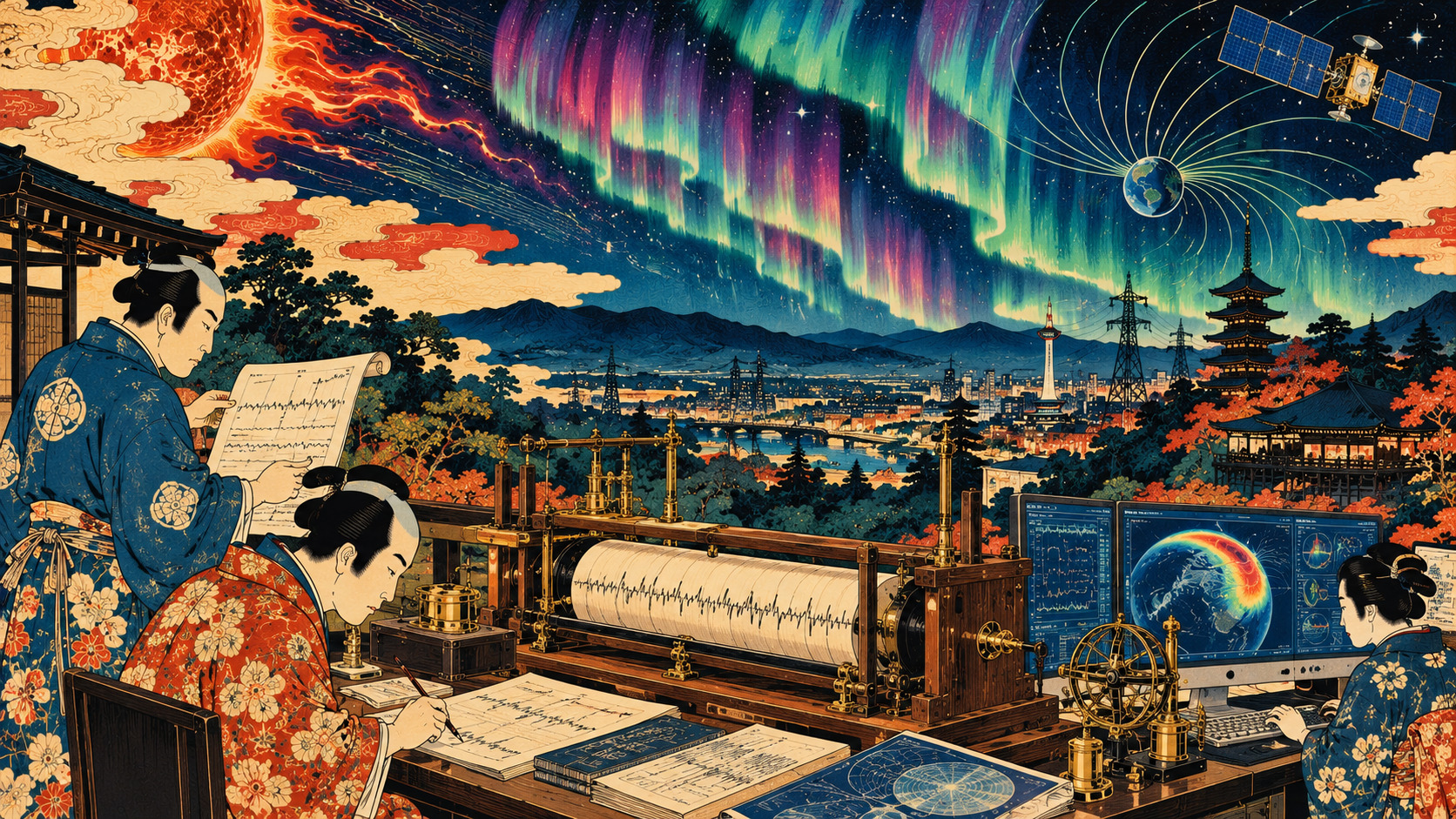
The archive’s terms authorize scientific use and specify a Creative Commons Attribution–NonCommercial 4.0 license. Commercial applications of individual observatory records call for contacting the relevant institutions. The woodblock-inspired artwork accompanying this article is an original editorial illustration, not a reproduced COMPASS scan. The distinction matters: the ability to inspect or download historical scientific data is not the same as having unrestricted reproduction rights for every commercial use.
The important work has only begun
Recovering quantitative information from a century-old strip of photographic paper requires work on scale factors, time marks, curve crossings and optical distortions. Combining records across locations raises further problems of geographic and magnetic coordinates and instrument changes over time. The September 11 technical paper describes a research-enabling platform, not a solved reconstruction of the most violent storms in history. The October 30 announcement gives the archive a public moment. The deeper scientific payoff will come from the patient comparisons that follow: the possibility that a forgotten trace from a long-closed observatory can clarify a risk facing the world’s most interconnected infrastructure.
Sources and reporting method
Documentary reporting based on Kyoto University’s release, the original open-access technical paper and the operating center’s documentation. No interviews were conducted.
- Kyoto University research announcement (October 30, 2026)
- Original open-access paper, Imajo et al., Earth, Planets and Space (Sept. 11, 2026)
- WDC Kyoto: COMPASS portal, archive and data-use rules
- COMPASS official English portal
- WDC for Geomagnetism, Kyoto
- NICT Space Weather Forecast
- Geospatial Information Authority: geomagnetic continuous observation data