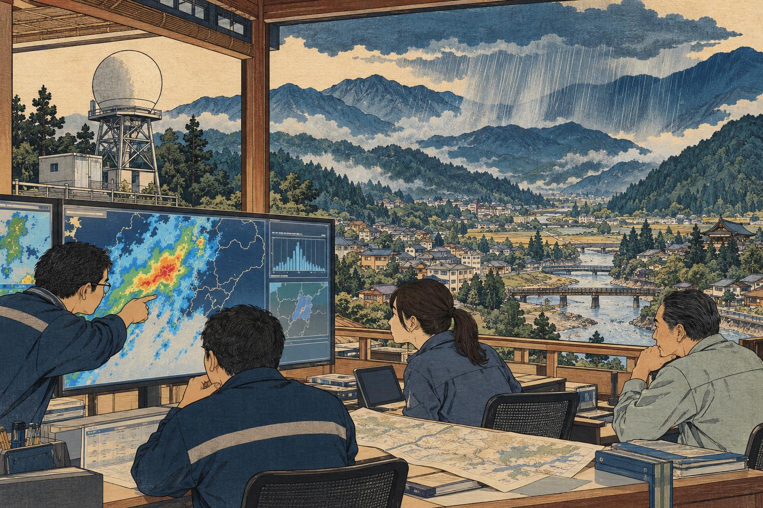
A radar can detect a developing storm before an official knows what to do with the information. The interval between those two moments is the real subject of a research trial in Nagano: can an additional view of the rain become a useful part of municipal disaster response?
Japan Radio Co., Ltd., known as JRC, announced on September 17 that research-stage observations were being shared with water-disaster departments in Nagano and Ueda cities. Distribution began July 10. The project with Shinshu and Kyoto universities is testing usefulness, rather than announcing a completed public warning service.[1]
From an engineering campus to a working desk
The instrument is JRC’s RAINWATCHER compact X-band dual-polarization weather radar, installed at Shinshu University’s Nagano engineering campus. Under the research plan, the universities work on heavy-rain prediction algorithms, while JRC and Shinshu develop the monitoring system.[2]
Shinshu separately confirms that the joint research secured support through the Hokuriku regional development association’s fiscal 2026 research-grant program. The arrangement brings together an equipment supplier, academic researchers and the institutions expected to use the information. Their interests overlap, but they do not provide interchangeable evidence: a development objective is different from an independently measured benefit.[3]
JRC says the interface pairs a plan view of rainfall intensity, or PPI, with a vertical cross-section, or RHI. Municipal feedback will inform changes to displays and notifications during the grant period through March 2027.[1]
That makes interface design an operational question. Can a user find the relevant neighborhood, distinguish an old image from the latest observation and hand the situation over to a colleague? A sophisticated display can still be difficult to interpret under pressure. These are questions for evaluation, not findings that the trial has already established.
Looking for a storm before the downpour
The June research proposal describes detecting what it calls the “eggs” of sudden heavy rain: early radar echoes aloft within developing thunderclouds. Its ambition is to identify signs relevant to rapid river rises and drainage flooding tens of minutes in advance. That is a development target, not a measured warning time demonstrated across storms.[2]
Weather radar sends radio waves and measures returns from precipitation particles. Dual polarization uses horizontally and vertically polarized signals to obtain additional information about those particles. JMA explains that this can improve precipitation estimates. It does not mean that an instrument directly observes the future location of flood damage.[5]
Useful lead time also has an administrative dimension. A signal must reach someone, be understood, be checked against other evidence and support an authorized decision. If those steps consume the apparent advantage, earlier detection has not produced the same amount of additional response time. An evaluation therefore needs timestamps for the whole process, not just the first promising radar echo.
An addition to a long-established network
Nagano is not acquiring its first view of approaching rain. According to the local meteorological office, the Kurumayama weather-radar station in the Kirigamine highlands began operating in November 1999. Its observations feed the national radar picture used in forecasting and disaster-related weather information.[6]
The wider history stretches further back. JMA began weather-radar observations in 1954 and started introducing dual-polarization weather radar in March 2020. The compact-radar project belongs within that continuing history of better instruments and interpretation; it does not make the established observing system obsolete.[5]
JMA’s existing high-resolution precipitation nowcast combines radar with rain gauges and atmospheric observations. It provides 250-meter-grid forecasts over land and some coastal waters through 30 minutes, followed by one-kilometer-grid predictions from 35 to 60 minutes. Those are specifications of the national service, not demonstrated capabilities of the Nagano trial.[7]
For a municipality, the useful comparison is consequently between the information already available and the information available with the new observations added. Did the extra feed reveal a relevant development sooner? Did it clarify uncertainty or simply produce another image of the same event? Comparing with the existing workflow is essential to establishing additional value.
The history that gives the experiment weight
Water-disaster planning has a particularly concrete meaning in Nagano City. During the 2019 East Japan typhoon, the Chikuma River levee failed in the city’s Naganuma district. Flooding also affected Shinonoi, Matsushiro and Wakaho. The city’s review records 1,541 hectares inundated and damage to more than 4,000 homes.[8]
The city compiled its disaster-response review in July 2020, examining problems and improvements for future emergencies. That record matters because technology is only one element of a response system. Information has to move through institutions and lead to practical decisions.[8]
The historical connection should not become a claim that a small radar could have prevented that disaster. A typhoon affecting a large river basin and a rapidly developing localized downpour present different forecasting and response problems. The value of recalling 2019 is to keep institutional performance in view, not to assign every kind of flood to one new instrument.
The discussion between researchers and local practitioners also predates this summer’s trial. Shinshu held a public seminar on March 4, 2026, on heavy-rain detection in Nagano and its application to basin management. Its program brought university researchers together with participants including Nagano City’s river department to discuss water-disaster response. The current evaluation builds on that effort to connect observation with municipal work.[4]
Why mountains and missed events matter
Radar has physical limits. JMA identifies mountain blockage, beams passing too high to observe low precipitation at long distances, attenuation in heavy rain and unwanted echoes among the problems that can affect observations. A detailed-looking map should not be confused with uniformly reliable measurement.[5]
JRC lists RAINWATCHER’s protective radome as 1.8 meters high and 1.8 meters in diameter. Compact equipment may offer siting possibilities, but dimensions alone do not establish useful coverage in a mountainous region. Location, terrain and the weather being observed must all enter the assessment.[9]
Japan.co.jp would look for three kinds of evidence when results are reported. First, performance across both detected and missed events, including false alarms. Second, comparison with independent observations such as rain gauges, with differences by location made visible. Third, evidence about whether the added information changed the speed or quality of municipal decisions. These are editorial evaluation criteria, not a published scorecard from the project.
False alarms deserve attention alongside successful examples. A screen that repeatedly draws attention to developments that do not become hazardous can add work. A quiet screen during a missed event poses a different problem. Reporting only a striking success would leave both questions unanswered. Evaluation should explain the conditions in which the system helps and the conditions in which confidence is lower.
The business case starts after the demonstration
For public-sector buyers and the companies serving them, a research trial is an early step toward a much broader operating commitment. Hardware is only part of that commitment. Communications, maintenance, software updates and staff training also require resources. Responsibility must be clear when a feed stops or a user needs help during an event.
The central procurement question is what additional capability the institution would be paying to sustain. A department might value better local observation, a clearer way to compare evidence or less time spent gathering information. Those benefits should be specified and measured separately. A compelling demonstration does not establish a complete cost-benefit case.
Nor should research participation be treated as a municipal purchase or an endorsement of proven protection. JRC’s announcement describes a trial intended to assess future usefulness. It does not turn research observations into an official public warning channel.[1]
Residents should continue to use JMA’s disaster-related weather information and their municipality’s evacuation information. The trial’s potential contribution lies in helping the professionals behind local decisions work with an additional source of evidence.
Nagano and Ueda offer the researchers something a specification sheet cannot: a setting in which the information has to fit real responsibilities. The next meaningful result will be evidence that the feed helps people interpret a developing situation and make a better-supported decision. That is the test that can turn another view of the rain into a useful public service.
