A field-trial selection is not a completed or independently validated AI navigation system.
The shortest route is not always a usable route
A route planner can draw a clean line from a station to a clinic. For a wheelchair user, however, a single kerb, steep gradient or narrow pavement may make that line useless. People pushing strollers, older walkers and travelers with other mobility needs face a similar information gap: conventional maps often emphasize distance and time, not the physical characteristics of the route. Japan is now testing whether artificial intelligence can help cities document those details more efficiently.
What Japan actually announced
On October 16, 2026, the Ministry of Land, Infrastructure, Transport and Tourism (MLIT) selected Ikeda City in Osaka Prefecture as the participating municipality for a field demonstration. Officials want to evaluate AI-assisted extraction of pedestrian barriers such as path width, longitudinal slope and steps, and ways to reduce the burden of producing pedestrian network data. The ministry invited applications between September 3 and October 2 and said outside experts contributed advice to the selection process.
Selection is not success
The distinction matters: MLIT announced a test site, not a finished accessible-navigation system. Fieldwork is scheduled for late October through December 2026. Results are expected to be compiled in January and February 2027. No verified measure of AI accuracy, reduction in survey costs or improvement in real-world journeys was included in the selection announcement. An account portraying the city as already mapped by a proven AI service would be misleading.
What a pedestrian network needs to know
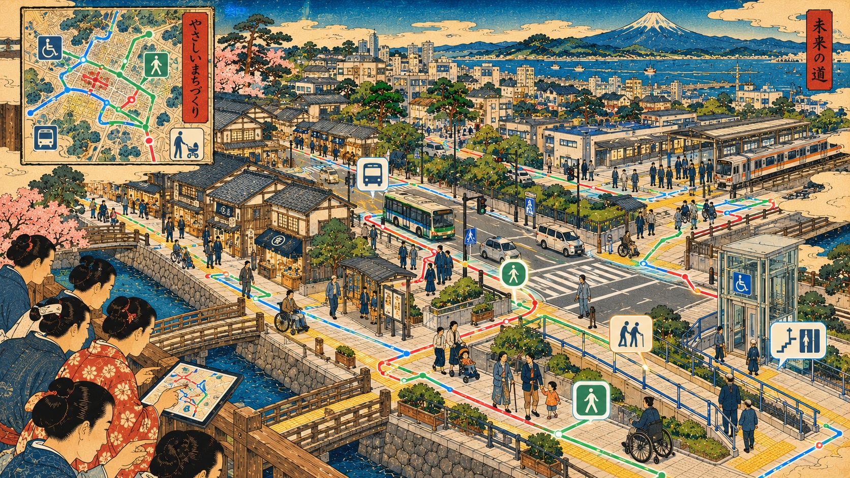
Japan uses the term hokō kūkan nettowāku dēta, or pedestrian-space network data, for a connected representation of walking routes with attributes relevant to their use. It is not merely a list of accessible buildings. A route can connect two step-free entrances but still contain an impractical stretch between them. Width, vertical gradient and changes in level must be associated with the right segment of a journey if route-finding is to become meaningfully useful.
Why collecting the details is hard
Some barriers are relatively durable; others change with streetworks, temporary obstructions or weather. Data must be gathered at a sufficiently fine scale, checked and updated. AI might assist the labor-intensive identification of physical features, but MLIT’s public announcement does not establish the exact equipment, model architecture or workflow to be deployed in Ikeda. It would be premature to claim that a particular camera, autonomous mapping vehicle or machine-learning system has already been chosen.
A national standard matters as much as a clever model
Also on October 16, MLIT announced a guideline for developing pedestrian mobility-support services and a common specification for barrier-free facility data. The purpose is to encourage local governments and facility operators to create and share compatible data. A person crossing municipal boundaries should not have to rely on disconnected inventories that cannot speak to one another. Standardization also matters to developers seeking to build services for more than one city.
The project did not begin in 2026
In September 2025, MLIT chose Ikeda and neighboring Toyonaka for a different field initiative focused on the preparation, maintenance, open publication and use of barrier-free facility information. The 2026 initiative concentrates on testing automated extraction of physical walking-route barriers. They are successive parts of a broader policy effort, but not the same experiment. Nor does the earlier selection prove that the new AI approach already works.
The long history behind the digital map
Japanese accessibility policy has for years addressed the built environment, transport and mobility barriers. More recently, government working groups have addressed open data and the ability of information services to help travelers plan routes. The ministry listed a trial release of pedestrian-network and barrier-free facility data-building systems in March 2026. The Ikeda project is best read as the latest step in that long transition: from making places physically accessible to making dependable information about access broadly available.
Why errors could matter more here
For entertainment recommendations, an imperfect map may be irritating. For someone selecting a wheelchair-accessible route, it can result in a blocked journey or unsafe detour. A practical assessment must therefore scrutinize false negatives, false positives, update speed and what happens when temporary works change conditions. These are journalistic questions for the trial, not performance results the government has announced.
Different people need different answers
The requirements of a manual wheelchair user, an electric wheelchair user, a blind pedestrian and a parent with a stroller are not interchangeable. Route tools that reduce accessibility to a universal yes-or-no flag risk missing precisely the differences that make the information valuable. Future evaluation should incorporate direct testing and criticism by intended users, while distinguishing technical predictions from verified field measurements.
The robots in the policy document
MLIT explicitly describes its data ambitions as serving both people and robots. Small delivery and navigation robots may also benefit from precise knowledge of surface and route geometry. That creates potential commercial applications, but raises a governance question: whose mobility needs drive the design and how are public benefits measured? A technical map optimized for a machine need not be a trustworthy guide for a human traveler.
The next public test
MLIT has separately invited participants to a November 20, 2026 ideathon on services using barrier-free data, an indication that the ministry is seeking applications as well as underlying datasets. The most consequential milestone remains the early-2027 Ikeda report. Journalists should ask how much route data was created, how its accuracy was independently assessed, what it cost, how often it can be updated and whether the public will be able to use it. The promise is modest to describe but enormous in daily life: the freedom to know in advance whether a journey is possible.
Sources and verification
Based on official primary sources. No independent site visit or direct interview with participating residents or officials was conducted.