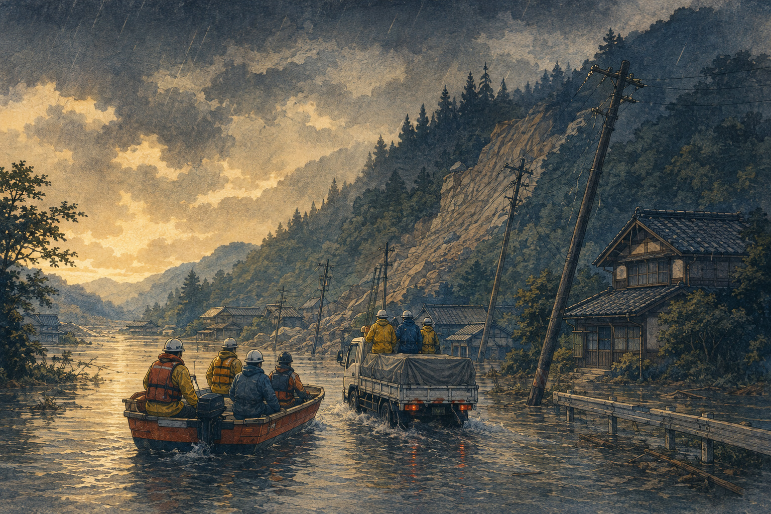
The most dangerous misunderstanding in the first hours after a flood is to treat a lowered warning as an all-clear. In Hokuriku on August 27, the official alert level fell during the afternoon. The water did not instantly drain away. Roads did not rebuild themselves. Hillsides did not become stable because the color on a warning map changed.
At 6:20 a.m., the Japan Meteorological Agency and the Ministry of Land, Infrastructure, Transport and Tourism issued a Level 5 Heavy Rain Emergency Warning—レベル5大雨特別警報—for Himi in Toyama Prefecture and for Hakui, Shika, Hodatsushimizu and Nakanoto in Ishikawa Prefecture. Twenty minutes later, Himi issued Emergency Safety Measures—緊急安全確保—to all 17,164 households and 40,546 residents in the city.
The distinction matters. The first was a meteorological warning that a disaster was occurring or imminent. The second was a municipal instruction to take the best immediately available action to protect life. Level 5 was not a cue to begin an orderly evacuation; by definition, the safer window at Level 4 was already supposed to have passed.
A record written after the emergency alert
At 6 a.m., the 12-hour gauges already showed 252.5 millimeters in Hakui and 252.0 millimeters in Himi. By the end of the day, the maximum 24-hour totals had climbed to 362.0 millimeters in Himi, 343.0 in Hakui and 265.5 in Hodatsushimizu. All three were observation records for their stations.
A front stretched across northern Japan while warm, moisture-laden air fed repeated bands of intense rain over Hokuriku. At 4:20 p.m., every Level 5 heavy-rain warning in the two prefectures had been switched to a Level 3 Heavy Rain Warning. Yet the JMA and the ministry simultaneously cautioned that saturated ground remained vulnerable and that warning-level rain could return through the morning of August 28.
That apparent contradiction is the hinge of the story. A warning can be downgraded because the most extreme rate of rain has eased. The consequences of the rain—soil failure, obstructed streams, undermined roads and water inside electrical systems—often peak later or take longer to discover.
Himi had four names for isolation, but no final count
Himi's 3 p.m. damage report identified parts of four communities—Kumanashi, Tokonabe, Yoshitaki and Ajikawa—as isolated by landslides, fallen trees or related road hazards. The city had confirmed that residents were safe. It could not yet state how many households or people were cut off.
That is not a minor statistical gap. An authority may establish contact by telephone or radio without restoring physical access for an ambulance, water truck, line crew or a resident who needs medication. “Safety confirmed” answers the first life-or-death question. It does not mean the isolation has ended.
The city's road ledger offered a sense of why counting was difficult: 24 reported incidents on municipal roads, including 20 landslides and four fallen-tree sites, plus 33 incidents on prefectural roads involving damage, inundation, sediment and trees. Five steep-slope failures were listed in Himi. The banks of the Kamisho River were damaged, while the Yokawa River was reported obstructed.
The Nōetsu Expressway was closed between Nanao-Ōdomari and Himi interchanges from 2 p.m., with emergency vehicles allowed through. Even when one trunk route admits responders, a blocked final kilometer can keep a settlement isolated.
Housing damage remained incomplete. The city had confirmed above-floor flooding in 40 units of the Ono municipal housing complex and below-floor flooding in two units at Oura. A damaged water line left about 38 households in Busshōji and Hinata without water. Approximately 880 households were without electricity across areas including Yabuta, Goishi, Yashiro, Hayakawa and Yokawa.
Across the prefectural line, a clearer count—and severe damage
Ishikawa's 5 p.m. report was more numerically complete. The Mikohara district of Hakui had 131 isolated households and 296 people. Three Hodatsushimizu districts—Shoshihara, Hashiri and Misago—had a combined 63 households and 131 people. Authorities had contacted and accounted for everyone in those places. Three households in Uwadana, Shika, had been isolated earlier but regained access by the reporting time.
The road map behind those numbers was a chain of failures near the Toyama border. Sediment, fallen trees, inundation and shoulder collapse affected the Shoshihara–Mikohara route, Route 415, the Takaoka–Hakui road and the Himi–Shio road. About 10 meters of shoulder collapsed on Route 249 between Takimachi and Shibagaki in Hakui. Another shoulder failure was reported on the Rokusei–Himi route in Nakanoto.
Ishikawa counted 21 routes closed at 22 points at 5 p.m.; the cumulative total for the day was 30 routes at 33 points. Nine rivers had flooded at 10 locations. The prefecture reported levee breaches on the Iiyama River at Minamigata and the Kanemaru River at Kanamarudemachi, both in Hakui.
Two cars were submerged on Route 159 during the morning, but their occupants were rescued. That section reopened at 2:30 p.m.—one of the first visible pieces of recovery. Rail damage moved in the opposite direction. Flooding at Hakui Station and the loss of ballast and roadbed around Kanemaru in Nakanoto led JR West to suspend the Nanao Line between Tsubata and Nanao for the rest of the day.
Ishikawa reported no human casualties in Hakui, Shika, Hodatsushimizu or Nakanoto as of 5 p.m. That was a provisional finding, not a final regional death toll. Housing inspections were still under way. The prefecture had already identified 80 above-floor floods in Hakui, two in Shika, 30 in Hodatsushimizu and one in Nakanoto, as well as five submerged vehicles in Hakui.
Rescue completed does not mean recovery completed
The national Fire and Disaster Management Agency said the Takaoka fire service had completed responses to all known rescue incidents in Himi by 3:30 p.m. The Hakui regional fire authority had done the same in its jurisdiction by 4 p.m. Five Ishikawa fire departments sent mutual-aid teams into the affected municipalities, and a crew from Himi crossed the prefectural boundary to support Hakui.
This was a meaningful threshold. It allowed command to shift people and attention from immediate extraction to route clearance, welfare checks, damage surveys and utilities. But the phrase “all rescue incidents addressed” is narrower than it sounds. It covers the incidents known to a fire service at a stated time. It does not certify every home as accessible or every resident as able to return.
Himi still had 125 people in 11 designated shelters and 50 in five voluntary shelters at 3 p.m. Ishikawa reported 319 evacuees at 79 shelters at 5 p.m., including 186 in Hakui. Falling shelter occupancy can indicate improvement, but it can also reflect people moving to relatives, hotels or damaged homes. It should not be treated by itself as proof of safe return.
| Area and measure | Officially reported condition | Cutoff | What remained unresolved |
|---|---|---|---|
| Isolation in Himi | Parts of Kumanashi, Tokonabe, Yoshitaki and Ajikawa; safety confirmed | Aug. 27, 3 p.m. | Households, people and reopening times |
| Isolation in Ishikawa | 296 people in Mikohara; 131 across Shoshihara, Hashiri and Misago; Uwadana cleared | Aug. 27, 5 p.m. | Overnight access and subsequent clearance |
| Himi utilities | About 880 households without power; about 38 without water | Aug. 27, 3 p.m. | Restoration progress and communications failures |
| Ishikawa power | About 40 households out in Hakui and 160 in Hodatsushimizu | Aug. 27, 5 p.m. | Overnight restoration progress |
| Human and housing loss | No casualties reported in four Ishikawa municipalities; Toyama and housing totals under review | Aug. 27, 5 p.m. | Final deaths, injuries, structural damage and inundation |
Twelve pumps and the mechanics of an early recovery
The clearest sign of recovery was not a ceremony or a reopened station. It was a pump deployment at the Jūnichōgata drainage station in Himi.
Before dawn, inflow was nearing the system's capacity. Toyama Prefecture and the local land-improvement district requested mobile drainage units from the Hokuriku Regional Agricultural Administration Office and MLIT. A ministry unit arrived at 9:16 a.m.; the agricultural office's equipment followed at 10:36. Twelve pumps were eventually moving a combined 60 cubic meters of water per minute.
Prefectural staff, national crews and municipal liaison officers converged on the site. In Ishikawa, Route 159 and several flooded underpasses reopened during the afternoon. Each restored link mattered disproportionately: it could release an ambulance route, permit fuel and food deliveries, or allow another crew to reach a smaller road.
Speed also carried risk. The Yokawa channel obstruction, weakened Himi slopes and breached Ishikawa levees could fail again. Trees tangled with power lines could not simply be cut by a road crew. Before heavy machinery entered, engineers had to decide whether the surface beneath it was still being scoured by water. Early recovery is a sequence of dependencies, not a race between excavators.
Why 2024 remains in every recovery calculation
The geography of this flood was not identical to the disasters of 2024, but the institutional memory was impossible to separate from the response.
The Noto Peninsula earthquake of January 1, 2024, severed roads and utilities across Ishikawa and caused liquefaction in western Toyama. During the August 2026 flood, Toyama officials again recorded inundation in some of Himi's earthquake-damaged liquefaction districts, including Majima, Sakaemachi and Kita-Ōmachi, and in Fushiki in neighboring Takaoka. Recovery work from one hazard had become exposed to another.
Then, in September 2024, a rain disaster struck northern Noto while the peninsula was still rebuilding. A later JMA disaster report counted 16 deaths in Ishikawa, 267 landslides, and inundation along 28 rivers in 21 systems. The August 2026 core was farther south—in Hakui, its neighboring towns and western Toyama—and the current losses were not yet comparable. The relevant lesson was logistical rather than numerical.
On a peninsula and in mountain-edge settlements, a relatively short slope failure can cut the only practical road. In an aging community, the urgent clock keeps running after residents answer a welfare call: medicines expire, home oxygen and medical equipment need power, water must arrive, and care workers need a safe route in.
A new warning vocabulary faces an old physical problem
Japan introduced its reorganized weather-warning system on May 29, 2026. Alert names now carry numbers designed to align more clearly with the five municipal evacuation levels. The August event demonstrated both the value and the limit of that reform.
The number made the severity unmistakable. It also created a risk that the public would read a downgrade from Level 5 to Level 3 as movement from “danger” to “safe.” The system does not say that. Level 3 still signals conditions in which people who need more time should evacuate, and a downgraded meteorological warning cannot assess whether a specific road shoulder, house foundation or hillside has survived.
The operational vocabulary after a flood therefore needs more than a color or number. Authorities must say which communities have been contacted, which can be reached, which routes are open only to emergency vehicles, which utilities are functioning, and when the last inspection occurred.
The next honest number is the one that changes
As of the reporting cutoff, the most important blanks were Himi's isolated-household count and Toyama's complete casualty and housing assessment. Road totals could shift as duplicate reports were reconciled and separate road managers inspected their networks. Outage figures could fall with repairs or rise when crews reached previously inaccessible faults.
A credible recovery dashboard should answer four questions repeatedly. Has everyone been accounted for? Does each isolated place have a safe route or reliable alternative transport? Are electricity, water and communications available? And are people unable to return home still receiving shelter, health and rebuilding support?
A single road reopening cannot answer all four. Neither can the completion of known rescues. The dramatic phase of the emergency may have passed by Thursday evening. The slower phase—measuring slopes, clearing mud, restoring lines, certifying homes and reaching the last household—had only begun.
- JMA and MLIT — Level 5 Heavy Rain Emergency Warning for Ishikawa and Toyama, 6:20 a.m., August 27, 2026
- JMA and MLIT — Planned switch to Level 3 Heavy Rain Warnings and continuing risk, 4 p.m.
- JMA — Maximum 24-hour precipitation table for August 27, 2026
- Toyama Prefecture — Second Disaster Response Headquarters meeting materials
- Himi City — Municipal damage and response report, 3 p.m., August 27
- Ishikawa Prefecture — Heavy-rain damage report No. 3, 5 p.m., August 27
- Fire and Disaster Management Agency — Damage and emergency response report No. 8
- JMA — New disaster-weather information system introduced May 29, 2026
- JMA — Disaster meteorological report on the September 2024 Noto rain disaster
- Himi City — Liquefaction recovery program following the 2024 Noto Peninsula earthquake