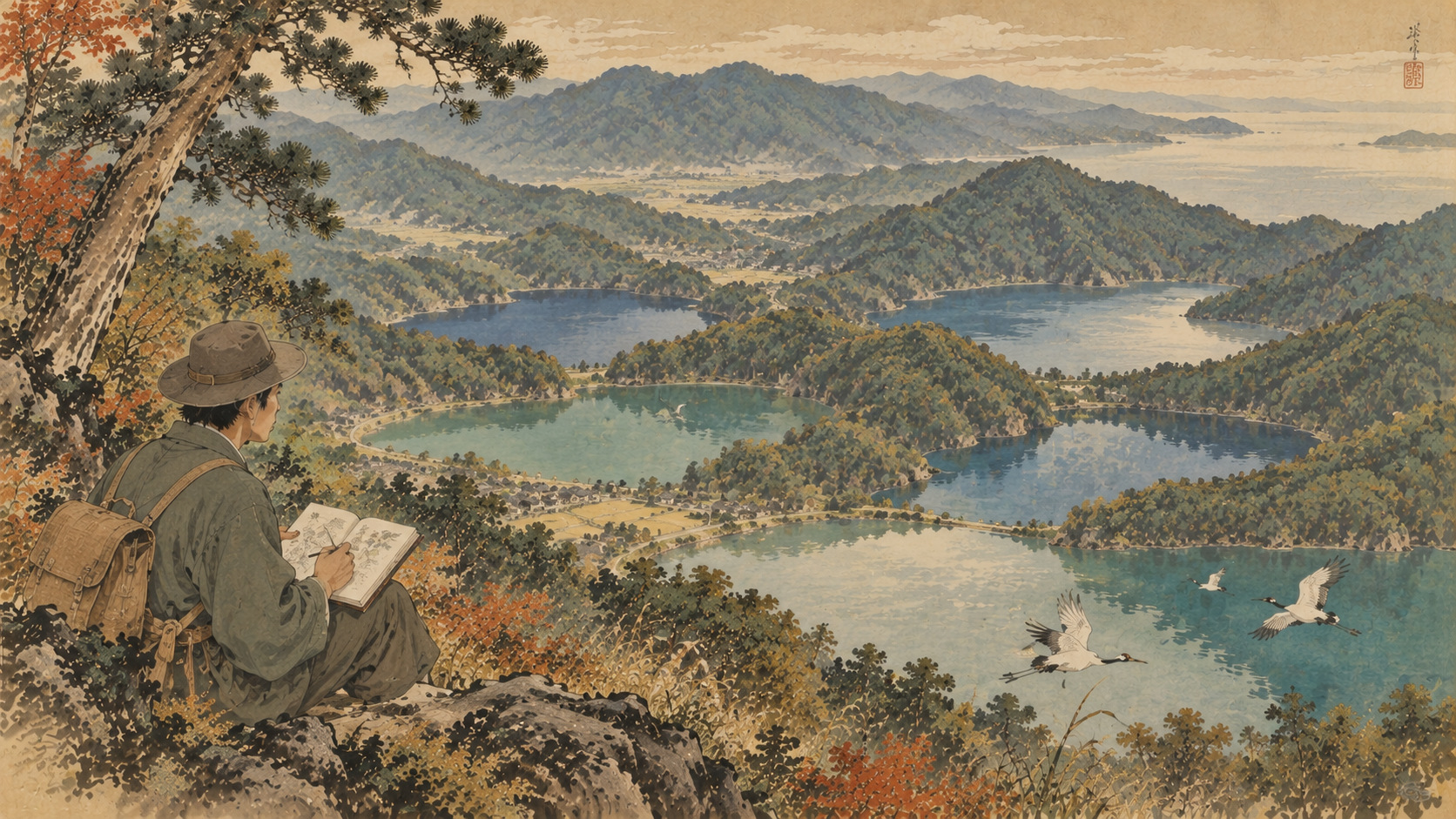
The scenery offers five colors. The water contains far more than five stories.
Five lakes, five different waters
From the hills above Wakasa Bay, the Mikata Five Lakes appear to be a single family of water, separated by ridges and narrow channels. In fact, they form a remarkably varied ecological system. Lake Mikata is freshwater, Lake Hiruga is marine, and Lakes Suigetsu, Suga and Kugushi lie in the changing world of brackish water. Their differences in salinity, depth and connection to the sea create distinct habitats within a surprisingly compact landscape.
This is why the familiar tourism description, “the lakes of five colors,” deserves a scientific explanation. The shades a visitor sees are influenced by lighting and weather as well as the physical character of each basin. The chemistry beneath the surface—not an unchanging color code—is what makes the lake system unusual.
On November 8, 2005, the five lakes were listed under the Ramsar Convention as a 1,110-hectare wetland of international importance. The designation specifically recognized the fish species and habitat functions supported by these connected yet contrasting waters. It was not simply an award for scenic beauty.
A field guide to the lake system
All five lakes stand close to sea level, but fresh river inflows and seawater do not affect every basin equally. Lake Mikata lies closest to the freshwater catchment. Lake Hiruga is connected to the sea. The other basins are influenced by both freshwater and marine exchange, and their vertical layers can vary with seasons and water movement.
In brackish environments, a layer of denser saltwater may underlie less salty water. Such stratification affects oxygen supply, sediment conditions and which organisms can survive. The five lakes should therefore be viewed as linked environments, not five identical blue bowls.
| Lake | Character |
|---|---|
| Mikata | Freshwater; river-fed habitats for carp and other inland species. |
| Suigetsu | Brackish; famous for sediment varves and stratified waters. |
| Suga | Brackish; wintering waterbirds and fish habitats. |
| Kugushi | Brackish to saline, linked to the sea and inner lakes. |
| Hiruga | Marine/saltwater lake with a direct maritime influence. |
Two canals that changed a landscape
The Mikata landscape has been shaped by people as well as geology. Fukui’s official cultural-property history records that, before the early Edo period, all the lakes except Kugushi were freshwater. Excavation of the Urami waterway in 1665 connected Suigetsu and Kugushi; work on the Saga channel in 1801 connected the system with Hiruga.
Watercourses built for drainage and practical use altered access for seawater, with consequences for habitat and livelihoods. It is inaccurate to romanticize the area as untouched wilderness: generations of decisions about the movement of water helped make the wetland visitors see today.
This history is particularly relevant when engineers and conservationists discuss restoration. Opening or closing a channel can change more than navigation. It can reshape the boundary between freshwater and saltwater, and with it the conditions that fish, shellfish and aquatic plants require.
The fish explain the Ramsar designation
The freshwater end of the system supports important Japanese fish, including the piscivorous chub known locally as hasu, the striped bitterling and the nagabuna crucian carp. Fukui Prefecture highlights their restricted distributions. Migratory fish and species tolerant of brackish conditions extend the biological range of the connected lakes.
Winter brings waterbirds, including ducks and other migrants. Suga Lake is noted as a place where sea eagles have been observed. Their presence depends on the wider food web and the availability of suitable resting habitat, not simply on a picturesque shoreline.
The Ramsar criteria address both distinctive fish communities and the importance of these waters as feeding, spawning and nursery habitat. The protection is therefore relevant far beyond the edge of the lake: rivers, agricultural drainage, reeds, shoreline vegetation and marine exchange all matter.
Fishing methods shaped by water depth
Lake Mikata has an extraordinary winter fishing technique, tatakiami. Fishers strike the shallow water with bamboo poles, startling carp and crucian carp toward a prepared gill net. The method makes practical sense in a basin where sunken wood and other underwater obstacles make dragging a net difficult. Local records trace the practice back more than 400 years.
Elsewhere, fishers developed eel-tube fishing and clam harvesting adapted to the local fish and sediments. Seasonal restrictions, agreed catches and shared management practices helped prevent simple open-access exploitation.
In February 2019, Japan’s Ministry of Agriculture, Forestry and Fisheries designated the “Brackish Lake Group Fishery System of the Mikata Five Lakes” as a Japan Agricultural Heritage system. That is a national designation, not UNESCO World Agricultural Heritage status. The distinction matters: the official recognition concerns the relationship between ecosystems, fishery technique and a community’s accumulated knowledge.
Historical sustainability is not proof that all stocks are healthy today. Fish catches, water quality and recruitment still need careful monitoring.
A science laboratory with no walls
One of the system’s great scientific strengths is comparison. Researchers can examine organisms living under different salinities and rates of exchange within a single interconnected catchment. The region also illustrates how oxygen conditions and changes in land use can influence aquatic life.
Lake Suigetsu contributes another dimension: long sequences of laminated sediments provide evidence of past environmental change, and its annual varve chronology has helped improve radiocarbon calibration. That subject receives its own report in this Fukui edition. The present story deals with the living present, where conditions can shift with every season and interventions can have ecological consequences.
The lake system is not frozen in a prehistoric past. It is continuously remade by geology, tides, rivers, farming, engineering, fish and people.
The hard work of restoring connections
In May 2011, local groups and public agencies established the Mikata Five Lakes Nature Restoration Council. Its activities encompass natural shorelines, links between rice paddies and lakes, invasive species, environmentally sensitive farming and ecological education.
In 2026, the council reported a revised natural-shoreline restoration guide, coordinated surveys and capture of invasive red-eared sliders, and small-scale work in streams. These are verifiable examples of continued intervention, not conclusive evidence that the whole wetland is recovering. For that, the region needs consistent monitoring across years and across the five basins.
A 2025 paper from the Fukui Coastal Nature Center examined records of grass carp, an introduced fish released in the area during the 1960s. Species introductions, changing water conditions and the loss of habitat connections can leave legacies that last decades. The question is not whether to restore some imagined pristine date, but what functioning ecosystem people can maintain now.
Seeing past the postcard
The Rainbow Line offers an unforgettable overview of the lakes, hills and sea. Yet the most important ecological details are often close to the ground: a vegetated bank where young fish shelter; a narrow watercourse linking rice fields to open water; a fishing method adapted to a particular bottom; a flock of birds arriving for winter.
Those who come to Fukui to enjoy quiet landscapes can also learn why their quiet matters. These are working waters, home to fisheries, towns, farms and wildlife. Thoughtful visits, respect for habitats and attention to local conservation efforts make a better encounter than sightseeing alone.
The secret of the Mikata Five Lakes is not that there are five beautiful views. It is that five waters—fresh, salt and everything in between—have carried a shared history of adaptation, intervention and life.
Japan.co.jp welcomes further data, observations and corrections from the Mikata Five Lakes Nature Restoration Council, the Fukui Coastal Nature Center, local fishers, residents and researchers. We invite documented updates and follow-up interviews about the changing ecology of the lakes. Contact the newsroom.
Sources and research
- Fukui Prefecture — Ramsar designation
- Fukui Prefecture — designated cultural landscape and waterways
- Ministry of Environment — Japanese Ramsar sites
- MAFF — Mikata Five Lakes heritage fishing system
- Fukui Prefecture — Nature Restoration Council, updated March 2026
- Mikata Five Lakes Nature Restoration Council — 2026 activities
- Fukui Prefecture — Wakasa Bay Quasi-National Park
- Fukui Coastal Nature Center — grass carp survey, 2025
- Ramsar Convention — designation announcement 2005
- Fukui official tourism — Mikata Five Lakes
- Heritage fishing techniques