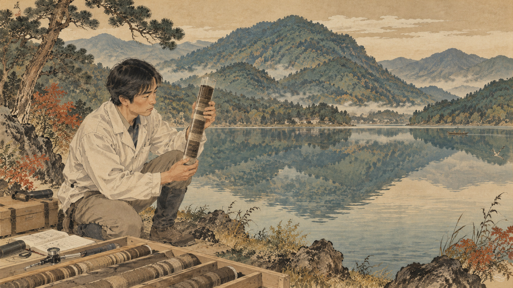
A quiet lake helped refine the timeline of human history.
A calendar beneath the water
At first glance Lake Suigetsu, in the Wakasa region of Fukui Prefecture, seems almost designed to encourage stillness. Mountains crowd its shores. The lake is one of the scenic Mikata Five Lakes, and nothing in its quiet surface announces its global scientific importance. Deep below that surface, however, sediments accumulated in thousands upon thousands of delicate seasonal layers. The deposits contain a record stretching roughly 70,000 years—an archive that helped researchers make the dates of ancient human history more dependable.
Each thin annual deposit is known as a varve. Together, the varves form a kind of natural calendar, 45 meters of which is displayed at the Fukui Prefectural Varve Museum. It is an arresting proposition: a lake in rural Japan contributes to the chronology used to compare archaeological events across the world.
How a lake records a year
A varve is not a written mark, nor a geological layer representing a uniform millennium. In favorable conditions, seasonal differences in incoming minerals and organic matter create distinguishable deposits over the course of a single year. At Suigetsu, the average annual thickness is about 0.7 millimeters, according to Fukui Prefecture. Under a microscope, successive layers can be examined and counted.
Counting is not effortless. Researchers study thin sections of sediment, X-radiographs, and chemical profiles to identify faint boundaries, disturbances and possible missing years. A dated sediment core is a carefully tested scientific chronology, not simply a stack of stripes read as if they were evenly spaced lines on a ruler.
Why Suigetsu kept its record
Lakes ordinarily disturb their own archives. Rivers deliver floods and coarse material; bottom-dwelling animals churn the mud; currents can scatter recently deposited particles. Fukui's Varve Museum describes an unusually favorable combination at Suigetsu: no large river flows directly into the lake, little sediment-mixing animal activity occurs on its deep floor, and the geological basin has retained space for long-term sediment accumulation.
These conditions help explain why an exceptional succession survived. Calling the lake miraculous is evocative, but its scientific importance rests on identifiable features of its geography, ecology and sedimentary environment. Quiet, in this case, has become a measurable geological advantage.
A discovery with roots in archaeology
The modern research story begins not with a climate laboratory but with the archaeological landscape of Wakasa. The Torihama shell mound, found in 1962 near Lake Mikata, yielded evidence of Jōmon-period life. Investigations associated with the area's archaeology led to drilling at Suigetsu in 1991 and the recognition of annual layering. Further work in 1993 established the scale of the sequence. Beginning in 1994, researchers including Hiroyuki Kitagawa counted layers and measured radiocarbon in preserved plant remains.
Results appeared in Science in 1998, but they did not immediately become the definitive international calibration standard. Questions about continuity, dating and the reliability of the chronology demanded a more complete research effort. The lake's place in global science was earned through repeated sampling, revision and international collaboration.
The 2006 cores and a landmark 2012 paper
A decisive step came in 2006. An international team associated with Takeshi Nakagawa collected overlapping sediment cores, allowing researchers to reconstruct a more continuous sequence and examine uncertain transitions. Tiny fossil leaves trapped in the mud proved crucial: because they acquired carbon from the atmosphere while growing, they offered terrestrial material for radiocarbon measurement without the same aquatic reservoir complications as some lake-derived samples.
In October 2012, Christopher Bronk Ramsey, Richard Staff, Hiroyuki Kitagawa, Nakagawa and colleagues published “A Complete Terrestrial Radiocarbon Record for 11.2 to 52.8 kyr B.P.” in Science. It supplied radiocarbon data extending from about 11,200 to 52,800 years before present, reaching close to the practical limit of the method. That interval is not identical to the museum's 70,000-year annual-layer archive. One is the broad sedimentary record; the other is a particular radiocarbon dataset and dating range.
Why radiocarbon dates need calibration
Radiocarbon dating measures how much radioactive carbon-14 remains in once-living material. After an organism dies, that isotope decays. Yet the amount of carbon-14 in Earth's atmosphere has fluctuated, which means a radiocarbon age cannot always be converted directly into a calendar date. The difference can matter greatly when archaeologists seek to distinguish events separated by centuries rather than millennia.
International calibration curves, notably the IntCal series, combine multiple independently studied archives including tree rings, corals, cave deposits and lake records. Suigetsu provided an important terrestrial contribution to IntCal13. Its role is substantial, but it would be misleading to call the lake the sole origin of the world's radiocarbon clock. Good calibration depends on independent evidence converging, not on a single supposedly perfect site.
What this changes for human history
A better calendar does not excavate a buried settlement or explain why a population migrated. What it does is sharpen the chronological foundation on which interpretations rest. Archaeologists can more confidently compare dated fragments of charcoal or plant matter with climate events and with discoveries from distant places. Researchers studying the end of the last glacial period can align changes in vegetation, human occupation and environmental conditions with greater precision.
That is not the same as saying every object can now be dated to a single year. Sample contamination, archaeological context, laboratory measurement and calibration uncertainty all remain significant. The great achievement is an improved, testable range for chronological inference.
A climate archive as well as a calendar
The varves contain more than markers of time. Pollen reveals changes in surrounding vegetation; volcanic ash can connect a layer to an eruption; dust and fine clay offer clues about atmospheric circulation and rainfall. The museum's research chronology describes projects following the 2012 and 2014 sampling campaigns that explored Asian dust, sedimentation, wind patterns and volcanic history.
A Japanese lake cannot stand in for the entire planet. But precisely dated regional archives can be compared with ice cores, marine sediments and cave records. They help researchers ask whether environmental shifts occurred together, whether their timing differed from region to region and what those differences reveal about the workings of climate systems.
The new frontier: a 2025 expedition
The research did not end with the museum opening. According to the museum's official chronology, a team led by Ritsumeikan University professor Takeshi Nakagawa drilled at Suigetsu between June and August 2025. Under a publicly funded project studying abrupt climate variability and humanity, the team recovered sediments from approximately 70 meters of drilling, representing around 150,000 years of deposits.
The distinction matters: recovering deposits spanning 150,000 years does not mean scientists have already verified 150,000 consecutive annual varves, nor that the entire new sequence has been incorporated into an international radiocarbon calibration curve. Interpretation, chronological control and independent testing are ongoing scientific tasks. The finding extends the research possibilities beyond the established 70,000-year display without replacing what has already been validated.
Forty-five meters of time on display
The Fukui Prefectural Varve Museum opened on September 15, 2018, in Wakasa Town. Its signature exhibition presents approximately 45 meters of actual varved material from the 2014 coring campaign. The long installation gives physical shape to an almost incomprehensible span of time. A visitor can move alongside the record and grasp that seemingly insignificant seasonal changes, preserved over tens of thousands of years, can become evidence of global significance.
The museum also makes a point about public science. The chronology is not an exclusive language spoken only by specialists. Local schoolchildren, visitors from Tokyo, and international travelers can encounter the original material and learn how patient observation turns mud into knowledge. Check the official museum website for current admission and opening arrangements.
A quiet place with a worldwide role
Fukui is celebrated for dinosaurs, temples, coastlines and skilled craftspeople. Lake Suigetsu adds something less visible and perhaps more startling. One of the prefecture's most consequential contributions to science came from a place whose great advantage was the absence of disturbance. For tens of thousands of years, seasons passed, leaves fell and sediment settled.
Scientists then devoted decades to recovering, checking and interpreting that evidence. The story belongs both to the lake and to the international teams, Japanese institutions and local communities that made sustained research possible. On the shores of Suigetsu, the history of the Earth is not simply old. It is still being read.
Sources and further reading
- 福井県年縞博物館:年縞について / Fukui Varve Museum: About varves
- 福井県年縞博物館:研究の歩み(2025年調査を含む) / Research chronology and 2025 expedition
- 福井県年縞博物館:沿革 / Museum history
- 福井県:水月湖年縞解説 / Fukui Prefecture: Suigetsu varve handbook
- Bronk Ramsey et al., Science (2012), 11.2–52.8 kyr BP
- Oxford Radiocarbon Accelerator Unit: Suigetsu publications
- 福井県年縞博物館:公式サイト / Official Varve Museum
The conversation continues
Japan.co.jp welcomes corrections, new research, archival materials and perspectives from the Fukui Prefectural Varve Museum and the scientific teams studying Lake Suigetsu. Submissions will be independently checked before any follow-up coverage.