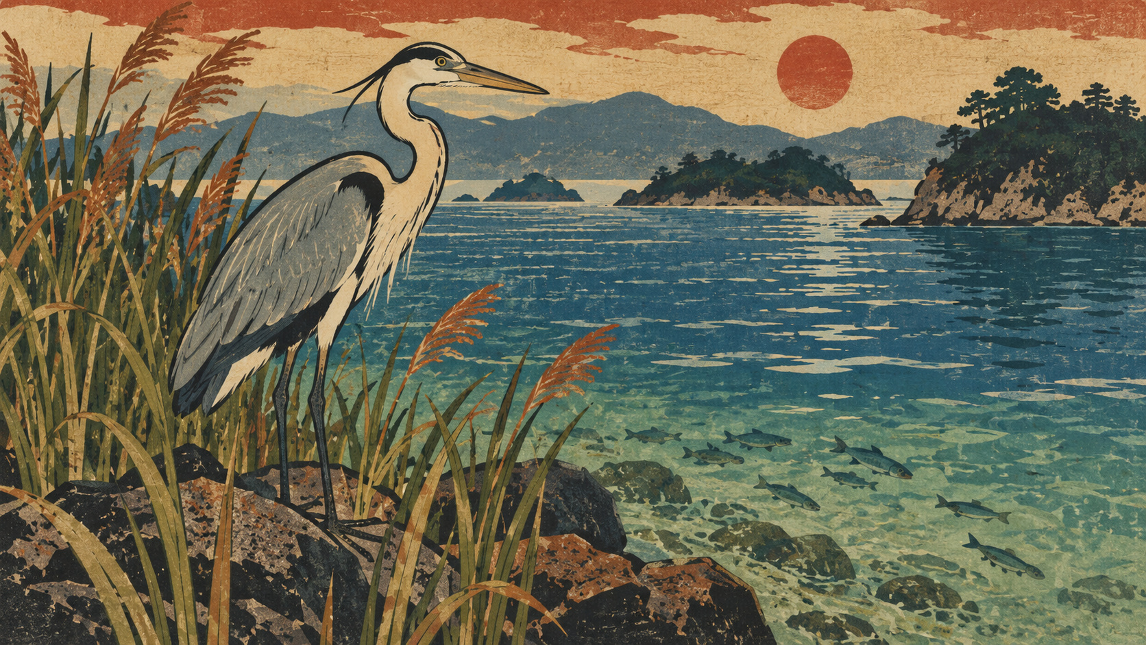
The invisible life beneath a celebrated coastline
Ehime’s sea is routinely described through its island horizons and sheltered waters. Much less visible are the small animals that inhabit rock crevices, young fish using vegetated shallows and birds dependent on healthy feeding grounds. The prefecture’s revised Red List is a warning system for that quieter world. It is also a test of how honestly governments communicate ecological change.
The 2025 list, formally decided in January 2026, contains 1,801 entries—the same overall number as the 2024 version. Yet four birds moved into a higher-risk category, while other classifications shifted. A flat headline total can hide a deterioration in the prospects of individual species.
What the new assessment actually says
The prefecture’s specialist wildlife subcommittee endorsed the revisions in July 2025; its biodiversity conservation committee decided them on January 16, 2026. The natural conservation division released the detailed changes on January 28. The official title is Ehime Red List 2025, not a newly created October 2026 list.
The published table shows 25 extinct entries, 643 in Endangered Category I, 423 in Endangered Category II, 320 near threatened, 319 data deficient and 71 under a prefectural watch designation. The total is 1,801. Ehime also notes corrections to an earlier numerical error in its press materials; the corrected account is the appropriate basis for comparison.
Four birds moved into greater danger
The Japanese leaf warbler (mebosomushikui), Sakhalin leaf warbler (ezomushikui), Japanese accentor (kayakuguri) and olive-backed pipit (binzui) were all moved from Category II to Category I. Prefectural officials pointed to exceptionally severe declines in population or habitat relative to the 2014 Red Data Book.
The crested kingfisher (yamasemi) was moved from near threatened to Category II. Those designations refer to Ehime’s regional assessment, not an automatic change to the national or global Red List. Nor do the listed changes establish a single shared cause of decline for all five species.
One hermit crab becomes a question mark
A marine hermit crab, tenagatsunoyadokari, was newly added as data deficient. This is among the clearest connections between the list revision and the coastal environment: scientists judged that the animal deserved formal attention but lacked enough information to characterize its extinction risk.
The addition should not be misreported as proof of extinction or even proof of a recent fall in numbers. A data-deficient listing is an invitation to study distribution, abundance and habitat more closely. A buzzard subspecies was removed from the list, while scientific-name or taxonomic information was changed for 23 bird entries.
A book published in 2014 could not remain the final word
Ehime’s 2014 Red Data Book recorded 1,773 entries and offered a systematic portrait of local wildlife. It remains valuable as historical evidence, with species accounts and explanatory material. But taxonomic scholarship, field observation and environmental conditions move faster than a printed reference volume.
The prefecture now documents successive revisions labeled 2020, 2022, 2024 and 2025. It explicitly instructs readers to prefer newer classifications where they supersede the 2014 book. Long comparisons must account for changing evidence and classification practices as well as biological change.
Seagrass beds and tidal flats are natural infrastructure
Vegetated seabeds provide shelter, nursery habitat and feeding opportunities. Tidal flats support invertebrates, shorebirds and natural processes that help maintain water quality. These are not merely picturesque places: they underpin fisheries and many of the ecological relationships that make a coastal sea productive.
The Ministry of the Environment documents substantial long-term historical losses of both habitats across the Seto Inland Sea. That history helps explain why coastal restoration became a major public-policy concern, but historical decline must not be presented as proof that every recent shoreline is continuing to deteriorate.
The regional picture is more complex than a decline narrative
A survey using satellite imagery and field checks in fiscal 2022–23 mapped approximately 16,963 hectares of seaweed or seagrass habitat and 11,971 hectares of tidal flats across the Seto Inland Sea. Compared with its 2015–17 survey, the ministry reported an increase of roughly 9% in the former and 8% in the latter.
Those overall gains conceal a geography of uneven change: vegetated seabed area generally rose in eastern basins but fell in western ones. Ehime cannot simply borrow the average for the entire inland sea. The ministry also cautions that multiple factors can affect mapped area and that the precise causes of change are not established.
How industrial Ehime fits into the story
Ehime’s coastline is a working landscape. Shipyards, ports, manufacturing plants, shipping operations, aquaculture and fishing grounds coexist around Matsuyama, Imabari, Niihama, Saijo and Shikokuchuo. Their prosperity depends in different ways on an accessible and functioning marine environment.
This creates real questions for business: how to evaluate shoreline alterations, water use, discharges, construction and habitat monitoring. It would be wrong, however, to attribute the newly elevated bird risks to any particular industrial company or development without species-specific evidence.
From a pollution-control era to the idea of satoumi
Japan’s postwar industrial growth intensified pressure on enclosed coastal seas and eventually contributed to stronger environmental regulation. More recently, policy has expanded beyond controlling pollution to restoring ecological functions. The idea of satoumi recognizes coastal landscapes in which responsible human use and ecological care can coexist.
Amendments to the Seto Inland Sea environmental protection law effective in 2022 and related government planning emphasize the protection, restoration and creation of seagrass beds and tidal flats. Restoring a measurable patch of habitat is only a first step: scientists still need to know whether it supports living communities over time.
A warming sea poses questions, not simple explanations
Marine heat, extreme rainfall and changes in species interactions can reshape coastal ecosystems. The environment ministry discusses warmer waters and grazing fish as possible contributors to patterns observed in the west of the Seto Inland Sea. Yet it explicitly declines to assign a single definitive cause to the measured area changes.
Likewise, the revised Ehime bird classifications do not independently establish climate change as the causal explanation for each species. Migration routes, habitat availability, detection effort and local threats must be examined separately. Overconfident attribution would undermine the very evidence-based conservation the list is meant to encourage.
Monitoring cannot be outsourced to a spreadsheet
A credible biodiversity record depends on repeated surveys, specialist identification, preserved records, careful mapping and the accumulated knowledge of coastal communities. Fishers and local birdwatchers may notice changes early; scientific verification turns those observations into evidence policymakers can use.
Data collection raises its own ethical issue. Publishing precise locations of fragile populations can expose them to disturbance or collection. Conservation reporting should therefore be transparent about evidence without disclosing information that creates a new risk to the species.
The future is decided in the habitat, not the headline
The Red List’s 1,801 entries are neither proof of an ecological collapse nor evidence of stability. The revised risk categories, the newly noted hermit crab and the remaining data gaps point toward different priorities: immediate protection where danger is documented, better research where knowledge is thin, and continuous measurement where restoration is underway.
For Ehime’s communities and businesses, the enduring question is not whether the Seto Inland Sea can still make a beautiful photograph. It is whether enough of the functioning habitat beneath that surface can be preserved for the next generation. That answer requires evidence gathered over years, not a single annual count.
Primary sources and methodology
- Ehime Prefecture: revisions to the prefectural Red List
- Ehime official January 28, 2026, revision release
- Ehime Red Data Book 2014
- Ministry of the Environment, July 9, 2024, seagrass and tidal-flat mapping
- Ministry of the Environment: Seto Inland Sea habitat history
- Ministry of the Environment: satoumi conservation policy
- Ministry of the Environment: 2022–23 distribution dataset
Methodology: Red List category counts are drawn from Ehime’s corrected January 28, 2026 release. Habitat estimates cover the entire Seto Inland Sea, not Ehime waters alone.