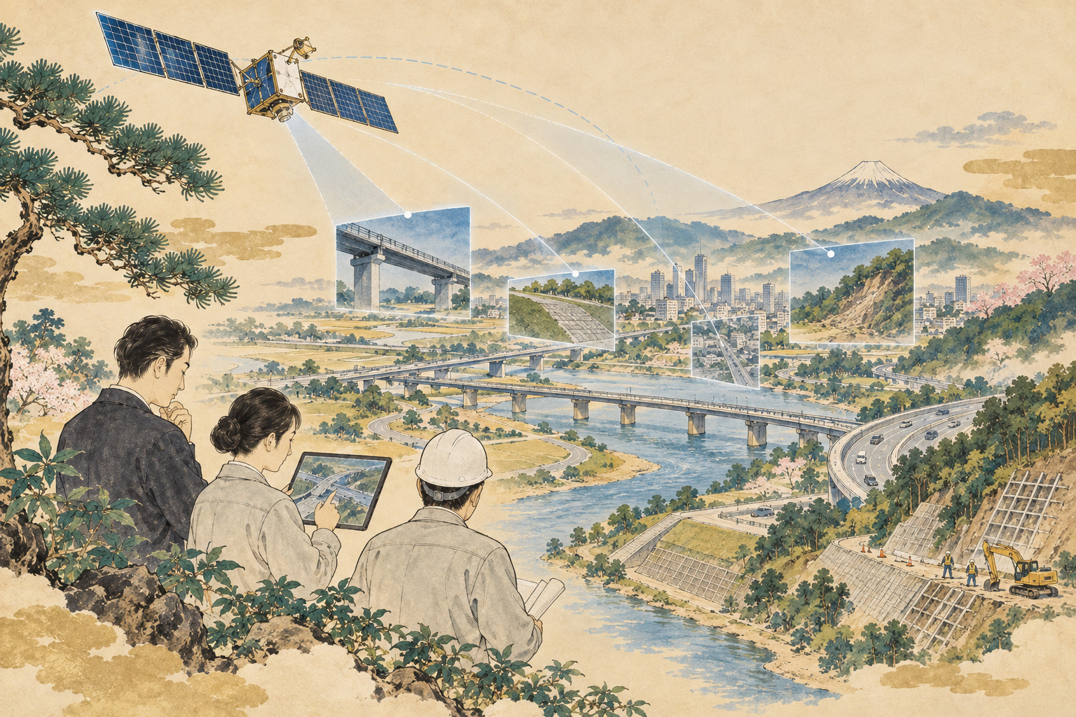
Japan's infrastructure-maintenance model has traditionally begun with a person going to the site. An engineer drives the road, walks the embankment, inspects the river, surveys the port or checks the structure. That model is becoming harder to scale as assets age, municipal technical staffs shrink and disasters create the need to assess enormous areas at once. An agreement signed on September 18 by Axelspace and Pacific Consultants asks whether the first step can sometimes begin hundreds of kilometers above the Earth instead. [1][2]
The two companies signed a memorandum of understanding to develop and commercialize satellite-data solutions for social infrastructure. Their planned cooperation covers technology and service development in Japan and overseas, demonstrations and real-world implementation for disaster prevention and infrastructure management, joint project development and sales, and the use of Axelspace technology inside Pacific Consultants' business. The companies specifically cite early disaster-damage assessment, wide-area monitoring and continuous observation of infrastructure deterioration and deformation. [1][2]
This is not a story about seeing a hairline bridge crack from space
Satellite infrastructure stories are easy to oversell. A reader might imagine that an orbiting camera can replace a close bridge inspection and identify fine cracking or corrosion. That is not what the disclosed system can do.
Axelspace's next-generation GRUS-3 optical satellites have 2.2-meter ground resolution. The earlier GRUS-1 system offered resolution of up to 2.5 meters. Those scales are useful for identifying broad changes—roads, construction areas, landslides, river movement, large debris accumulations, coastline changes or changes around major facilities—but not millimeter- or centimeter-scale defects in concrete or steel. [5][6]
The more realistic role is triage. After a major storm, satellite imagery can help identify which slopes, road corridors or river sections appear to have changed before scarce engineering teams are dispatched. Over longer periods, repeated observation can screen for change around dams, ports, airports, energy facilities and other widely distributed assets. Axelspace already markets AxelGlobe for fixed-point infrastructure monitoring and land-management change detection. [8]
Japan's infrastructure is aging in the same historical wave
The partnership is arriving at a structural turning point. Much of Japan's transport, river, sewer and port infrastructure was built during and after the high-growth era. The Ministry of Land, Infrastructure, Transport and Tourism warns that the share of facilities more than 50 years old will rise rapidly over the next two decades. [12]
Road bridges show the scale. At the end of fiscal 2025, about 240,000 bridges were more than 50 years old, up from roughly 130,000 at the end of fiscal 2018. The number rated Category III or IV—requiring early or emergency measures—fell from about 69,000 to about 51,000 over the same period, showing that repairs are progressing even as the stock continues to age. Among local-government bridges rated III or IV in 2020, however, repair or other corrective work had been started on 79% within the five-year window. [13]
The problem, then, is not simply neglect. Maintenance organizations are repairing assets while the number of older assets continues to rise. That makes prioritization increasingly valuable.
The human-resource constraint is especially sharp for smaller municipalities
MLIT data illustrate the staffing problem. Municipal civil-engineering staff fell from 105,187 in 2005 to 90,719 in 2021. About one-quarter of municipalities and special wards had no technical staff classified as civil or architectural engineers, and roughly half had five or fewer. [14]
Those figures are historical snapshots rather than a complete 2026 census, but they explain why the new MOU explicitly cites difficulty securing maintenance personnel in an aging and shrinking population. Satellites do not create engineers. They can, however, reduce the area an engineer has to inspect first by screening large territories for likely change. [1][2]
What Pacific Consultants brings to the partnership
Pacific Consultants was founded in 1951 with the ambition of contributing engineering expertise to Japan's postwar reconstruction, initially as a U.S.-incorporated company and then as a Japanese corporation in 1954. Today its work spans roads, railways, rivers, ports, airports, water systems, cities, buildings and disaster resilience. The company reported 2,460 employees as of October 2025 and sales of ¥63.8 billion for the year ended September 2025; it also says its organization includes more than 1,300 professional engineers and other credentialed technical specialists on a cumulative basis. [10][11]
That domain knowledge matters because an image is not the same thing as an infrastructure decision. A change seen from orbit may represent damage, vegetation, construction, seasonal water movement or something harmless. Translating pixels into maintenance priority requires structural, geological, hydraulic, road, river and asset-management knowledge.
Nobukazu Sasaki, head of Pacific Consultants' Technology Development Office, described the agreement as a starting point for combining the two companies' strengths and carrying projects through planning, demonstration and commercialization. [2]
Four days earlier, Pacific Consultants unveiled a separate maintenance-data platform
On September 14, Pacific Consultants announced a “comprehensive management platform” for infrastructure maintenance. It connects data that may sit in separate road-patrol, public-reporting, construction-ledger and budget systems and makes them visible across facilities and regions. The stated goal is to support strategic maintenance plans and more rational decisions about repair and renewal priorities. [3]
The platform is designed to link existing systems rather than replace them wholesale. Pacific Consultants says it will begin using the platform in proposals to municipalities and private-sector operators from September 2026. [3]
The satellite MOU does not state that Axelspace imagery has already been integrated into this platform, and Japan.co.jp does not treat the two announcements as one product. Still, the timing is notable: in the same week, Pacific Consultants announced both a framework for cross-system infrastructure decision-making and a partnership intended to add wide-area, repeatable observation from orbit.
Axelspace has been moving from building satellites toward selling information
Axelspace was founded in 2008 by engineers with roots in university microsatellite development. Its first commercial customer satellite, WNISAT-1 for Weathernews, launched in 2013. The company says it has since developed and operated 18 microsatellites in total. It launched the AxelGlobe Earth-observation business in 2019 and the one-stop satellite-development service AxelLiner in 2022. [9]
The GRUS-1 satellites used in AxelGlobe provided imagery at up to 2.5-meter resolution. With five GRUS-1 spacecraft, Axelspace said a given location could be observed every two to three days. Since fiscal 2023, the company has supplied imagery to Japan's Geospatial Information Authority for a national-basemap project that uses satellite imagery and AI to detect changes in roads and large buildings and make map updating more efficient. [6]
That project is especially relevant to the infrastructure MOU because it demonstrates a practical workflow: use repeat imagery to detect what changed across a wide area, then direct attention to those changes. Axelspace also supplies a mosaic product that combines multiple observations to assemble cloud-free imagery over time. [6]
Seven GRUS-3 satellites were launched together in 2026
The next generation is GRUS-3. Seven spacecraft launched on July 7, 2026 aboard a SpaceX Falcon 9 from Vandenberg Space Force Base in California. On July 16, Axelspace obtained first-light images from two of the spacecraft. The company said it was continuing commissioning with a goal of beginning commercial operations during 2026. [4]
Each GRUS-3 is about 150 kilograms and is designed for 2.2-meter ground resolution, a 28.3-kilometer imaging swath and a maximum imaging length of 1,356 kilometers. Across seven spacecraft, the designed imaging capacity is up to 2.3 million square kilometers per day. Axelspace says the configuration is intended to permit once-daily observation of the same location at nearly the same local time at latitudes north of 25 degrees. [5]
GRUS-3 also adds a coastal-blue spectral band alongside panchromatic, visible, red-edge and near-infrared channels. That may broaden applications in coastal and shallow-water observation, although the September infrastructure MOU does not commit any particular spectral band to a named customer project.
| Feature | GRUS-1 | GRUS-3 |
|---|---|---|
| Representative ground resolution | Up to 2.5 m | 2.2 m |
| Observation frequency | Five-satellite system: same point every 2–3 days | Seven-satellite design: daily north of 25° latitude |
| Satellite mass | About 100-kg class | About 150 kg |
| Status in Sept. 2026 | Established AxelGlobe operating history | Seven launched; commissioning toward commercial service |
Disaster response depends on comparing “before” and “after”
Satellite imagery becomes especially useful in a disaster when post-event images can be compared with an archive from before the event.
Following the 2026 Kumamoto earthquake, Axelspace conducted multiple observations of affected areas with GRUS-1 and provided the imagery to relevant organizations. It also released post-earthquake images and pre-earthquake archive imagery free of charge for damage assessment, recovery and reconstruction, reporting and research. [7]
The same principle can support flood, landslide and storm assessment: identify where roads appear interrupted, slopes have collapsed, waterways have shifted or large areas have flooded, then prioritize field verification.
Optical imagery has important limits. Clouds can block the surface, and visible-light observation is constrained at night. Repeated acquisitions and mosaics can reduce cloud problems over time, but optical satellites are not equivalent to synthetic-aperture radar systems that can observe through cloud cover. The collaboration therefore adds a useful tool, not an all-weather replacement for every other observation method. [6]
The larger opportunity may be routine monitoring, not emergency response
Disasters are the most visible use case, but routine maintenance may ultimately be more important. Infrastructure policy increasingly emphasizes preventive maintenance: finding change early enough to plan inspection, repair and renewal rather than waiting for failure.
A satellite can revisit broad territories from a consistent vantage point. That creates the possibility of building time series around slopes, river channels, reservoirs, coastlines, construction zones and major facilities, and using those records to screen for places that merit closer inspection.
The difficult step is defining what constitutes a meaningful change. A vegetation shift, temporary water level, construction project and hazardous deformation can look very different in engineering terms even if all appear as changes in imagery. That is where the combination of satellite-analysis capability and infrastructure domain expertise becomes central.
Municipalities need decisions, not more imagery
A local-government engineering office does not necessarily benefit from receiving another image file. If satellite data simply increases the number of datasets staff must examine, it can add work rather than save it.
The useful output is something closer to a decision queue: this location changed significantly and should be checked first; this one is consistent with seasonal variation; this slope may affect a road asset in the maintenance database. The September MOU is notable because it goes beyond imagery sales and includes joint planning, demonstrations, implementation, project formation and sales. [1][2]
The partnership is explicitly aimed beyond Japan
The MOU covers development in Japan and overseas and joint proposals to domestic and international customers and contracting authorities. [1][2]
Both companies have histories that support that ambition. Pacific Consultants has international roots and continues to work on infrastructure projects abroad. Axelspace says AxelGlobe has served government agencies and companies in more than 30 countries. In markets where ground-monitoring networks or engineering staffs are thin, wide-area satellite observation can be particularly valuable. [5][10][11]
What the announcement does not yet disclose
The September 18 announcement is an MOU, not a customer contract. The public materials do not identify an initial demonstration site, a first road, river or port asset, a customer, a commercial launch date, pricing, contract value, revenue split, image-analysis algorithm, accuracy target, key performance indicators or measured reductions in inspection labor or cost.
GRUS-3's seven spacecraft are in orbit, but Axelspace's July disclosure said commercial service was targeted for later in 2026. The MOU should therefore not be read as evidence that a fully operational seven-satellite infrastructure product is already being sold nationwide. [4]
“Deterioration and deformation” must also be understood by scale. A wide landslide, shoreline shift or major surface change is not the same measurement problem as internal corrosion or a fine bridge crack. Any practical service will have to define which conditions can be screened reliably from orbit and which still require other sensors and on-site inspection.
A Japanese satellite-data service with ambitions to travel
The commercial structure is what makes this partnership more interesting than a simple data-supply agreement. Pacific Consultants says it wants the two teams to work through planning, demonstration and commercialization and ultimately deliver a Japan-originated satellite-data service to international markets. Axelspace director Daigo Orihara emphasized the combination of a global, overhead satellite perspective with more than 75 years of infrastructure domain knowledge. [2]
What does it mean for “space to become infrastructure”?
Axelspace says space is becoming a next-generation social infrastructure. That statement only becomes meaningful when satellite data enters ordinary operating decisions: when a road manager decides where to inspect, when a disaster-response center decides where to send teams, or when a river authority compares wide-area change without first visiting every location.
Satellite imagery will not solve Japan's aging-infrastructure problem. It cannot add engineers, remove clouds or diagnose every structural defect. The final safety judgment will continue to depend on people, engineering standards and often direct inspection.
But the order of work can change. Instead of sending people everywhere and then deciding what matters, an organization can first observe the whole area, detect likely change and send people where the evidence says they are most needed. If Axelspace and Pacific Consultants can turn that sequence into a reliable product, the value will not be measured by how striking the pictures from orbit look. It will be measured by whether one engineer can make a better decision, faster, across more infrastructure than before.
Sources & documents
- Axelspace: MOU with Pacific Consultants to address social infrastructure challenges using satellite data (Sept. 18, 2026)
- Pacific Consultants: Business alliance with Axelspace for satellite-data solutions (Sept. 18, 2026)
- Pacific Consultants: Comprehensive infrastructure-maintenance management platform (Sept. 14, 2026; Japanese source authoritative)
- Axelspace: GRUS-3 first-light imagery (July 17, 2026)
- Axelspace: GRUS-3 constellation specifications and observation frequency
- Axelspace: Continued imagery supply for Japan's national basemap project (Jan. 21, 2026)
- Axelspace: Free optical imagery following the 2026 Kumamoto earthquake (Aug. 7, 2026)
- Axelspace: AxelGlobe services for infrastructure and land management
- Axelspace: Mission history from 2008 through AxelGlobe and 18 satellites
- Pacific Consultants: Company profile
- Pacific Consultants: Corporate history
- Japan Ministry of Land, Infrastructure, Transport and Tourism: Aging social infrastructure
- MLIT: FY2025 road-maintenance inspection results (Aug. 26, 2026)
- MLIT: Municipal technical-staff shortages in infrastructure maintenance