- A bridge can be the difference between rescue and isolation
- A small town with a strategically placed bridge kit
- Road clearance comes before full reconstruction
- The vehicles left in the way
- What the 2011 Tōhoku disaster taught road engineers
- Centuries of earthquakes give Wakayama a long memory
- The scale of a national infrastructure emergency
- Why bridge engineering is more than bolting steel together
- The human network behind a metal bridge
- The purpose is not a photograph of a finished bridge
A bridge can be the difference between rescue and isolation
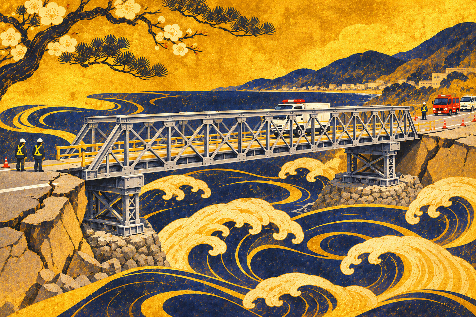
After a tsunami, an ambulance may find that the road still exists—but the bridge does not. A delivery of drinking water can reach a town boundary and no farther. The first engineering problem is not rebuilding the original structure to its previous standards. It is creating a safe, usable emergency connection before delays turn into additional human suffering.
That is the premise of an exercise scheduled for November 11, 2026, at Susami Disaster Prevention Base in Wakayama Prefecture. Japan's Kinan River and National Highway Office, part of the Ministry of Land, Infrastructure, Transport and Tourism (MLIT), announced plans to assemble a temporary emergency bridge and practice moving abandoned vehicles. The session is scheduled for 1–3 p.m. The reporting here examines the preparations and the historical reasons for them, not an exercise outcome that has yet to be independently documented.
A small town with a strategically placed bridge kit
The published venue is Susami Disaster Prevention Base, Susami 2947, Nishimuro District, Wakayama. MLIT says emergency temporary bridge equipment is stationed there to reopen routes for rescue vehicles and supplies after a bridge is washed away by a major disaster. The organizers are the Kinan office and local construction-industry organizations.
The release describes a rapid-to-assemble, adaptable bridge. It does not establish a verified span, loading rating, labor requirement, assembly time or the outcome of the scheduled drill. A two-hour event window is not a measured two-hour bridge installation. Those are details a responsible account should obtain after the exercise or through a technical interview before describing performance.
Road clearance comes before full reconstruction
The Japanese operational concept is dōro keikai (道路啓開): opening a minimum viable passage for rescue, emergency services and essential freight by clearing debris, stranded vehicles and other immediate obstructions. It is different from rebuilding roads and bridges to their final standards. In a disaster, the order of operations is governed by access to people rather than the appearance of a finished road.
A temporary bridge adds a more demanding link to this process. Its load path must reach stable supports; the approach road must connect to the deck; and the ground must bear the equipment and vehicles. Debris, damaged slopes, aftershocks and additional tsunami risk can disrupt every step. A structure that can be assembled quickly in a controlled base may take longer to deploy amid damaged roads. That is an engineering limitation, not a reason to abandon preparedness.
The vehicles left in the way
A severe earthquake can leave abandoned, damaged or immobilized vehicles across a critical roadway. Their owners may have fled, and ordinary procedures for parking enforcement are too slow for an urgent rescue route. Japan amended the Disaster Countermeasures Basic Act in November 2014 to give road administrators specific emergency powers, subject to statutory conditions. They can designate road sections, order drivers to move vehicles and, when necessary, arrange relocation themselves.
The law also addresses damage that cannot reasonably be avoided and compensation. It is not blanket permission to disregard every owner's interests. On an actual response route, officials must coordinate equipment, personnel, traffic control and legal authority. Practicing removal alongside bridge assembly tests the chain of tasks needed to make an isolated road usable.
What the 2011 Tōhoku disaster taught road engineers
After the March 2011 Great East Japan Earthquake, authorities developed the so-called comb-teeth road-clearing strategy. An inland north–south transport spine supplied access toward coastal communities through a series of east–west roads, like the teeth of a comb. The Tōhoku Regional Development Bureau's retrospective describes selecting routes amid incomplete damage reports, opening strategically important corridors and restoring emergency movement step by step.
The most valuable lesson was not simply that bulldozers can remove rubble. Responders needed an agreed hierarchy of routes, reliable reconnaissance and teams capable of acting without a complete picture of damage. That logic applies to the Kii Peninsula, where coastal settlements, hospitals, ports and mountain roads form a network that can fail at several points simultaneously.
Centuries of earthquakes give Wakayama a long memory
Wakayama's Pacific coastline has lived through repeated Nankai Trough disasters. The local Japan Meteorological Agency office documents the 1707 Hōei earthquake, the paired 1854 Ansei Tokai and Nankai earthquakes and the 1944 and 1946 Shōwa earthquakes. Some historical ruptures occurred on adjacent segments only about 32 hours apart; in the twentieth century, the separation was roughly two years.
Those records provide the context for long-term preparation, but they cannot specify the date of the next rupture. Risk planning has two separate phases: people must escape dangerous shaking and tsunami inundation first; only when conditions permit can responders begin assessing routes and rebuilding access. An emergency bridge is for the second phase, not a substitute for evacuation.
The scale of a national infrastructure emergency
Japan's March 2025 national Nankai Trough scenario estimates as many as approximately 298,000 deaths under a particularly severe combination of assumptions, including the season, time of day, weather and evacuation behavior. The government's projections also show the potential for maximum seismic intensity 7 in some locations from Shizuoka to Miyazaki and tsunami heights above 10 meters along parts of the Pacific coastline. These are scenarios, not a prediction of what will happen or when.
A catastrophe at that scale could damage bridges, tunnels, telecommunications, fuel distribution and ports across multiple prefectures at once. Emergency machinery may not easily reach a stranded community from another region. Keeping materials locally and rehearsing cooperation with regional construction companies is one way to reduce dependence on assistance that might be delayed.
Why bridge engineering is more than bolting steel together
Modular emergency bridges can be assembled from transportable components, but the government notice does not identify enough technical details to assign a specific system or rated capacity to Susami's equipment. The engineering questions remain universal: bearing capacity of abutments, stability of approaches, safe deck geometry, load limits, connections and protection of crews.
Emergency work must also account for saturated ground, damaged slopes, aftershocks and the possibility of further waves. Shortcuts in checks can endanger the responders whose job is to restore access. The advantage of a practiced emergency system is that teams have prepared their equipment, workflow and decision rules before the disaster—not that physics or basic safety requirements can be waived.
The human network behind a metal bridge
Japan's announcement names the Kinan office and construction-industry participants, reflecting the role of local contractors in disaster response. Public officials can set priorities and authorize road operations, but local operators know the machines, staging areas and working conditions. The coordination of those skills is part of what a tabletop plan alone cannot test.
For reporters following the November 11 session, the important questions are practical: Did it occur as scheduled? How long did assembly and vehicle relocation each take? What problems appeared in handling components? Did the team test loading or road approaches? Were any changes recommended? None of those answers should be invented in advance.
The purpose is not a photograph of a finished bridge
Road access is infrastructure that people rarely notice until it disappears. In a coastal disaster, the last missing stretch between a hospital and a village can nullify hundreds of kilometers of otherwise intact road. Susami's planned exercise focuses attention on the weak link: a missing crossing coupled with a blocked approach.
The success of a future real-world response would depend on more than whether the bridge sections fit together. It would require safe access to the site, reliable communication, functioning equipment, trained crews and an emergency route that remains passable. The November 11 session offers an opportunity to assess those prerequisites. Its actual results must be checked after the event before this feature is described as a report on a completed test.
Sources and reporting limitations
Prepared from MLIT, JMA and government documents. There has been no firsthand observation of the November 11 exercise or direct interview with participants. Results must be independently confirmed after the event.
- Kinki Regional Development Bureau: November 11 emergency bridge drill notice
- Kinan River and National Highway Office: 2026 news releases
- JMA Wakayama: historical Nankai Trough earthquakes
- JMA: projected shaking and tsunami
- Cabinet Office: March 2025 Nankai damage projections
- MLIT: Nankai Trough disaster action plan
- MLIT: 2014 disaster law amendment on vehicle relocation
- Tohoku Regional Development Bureau: 2011 comb-teeth road clearance
- Earthquake Research Committee: seismic history of Wakayama
- Kinki Regional Development Bureau: 2026 road information