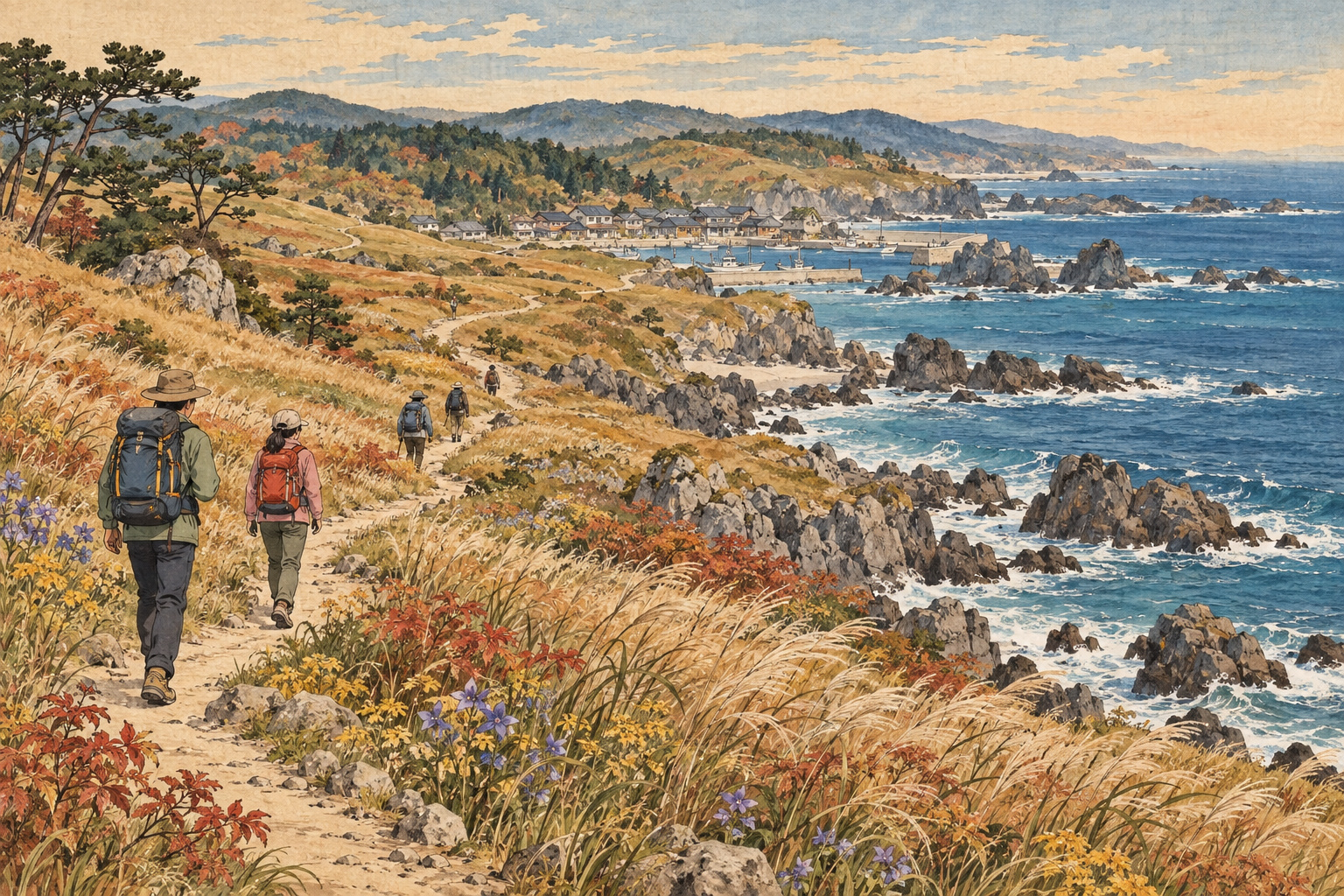
The attraction of walking the Tanesashi Coast is the way the ground changes. A path beside rocky inlets gives way to a broad beach; farther along, pines frame the sea before the view opens across grassland. On this stretch of Hachinohe’s Pacific shore, a coastal walk becomes a succession of different landscapes, each asking for a different pace.[1]
Tanesashi lies at the northern end of the Michinoku Coastal Trail. A walk south from Ashigezaki Observatory towards the natural lawn offers a manageable subject for a day’s exploration: the relationship between the sea, the land and the people who have shaped it. The interest extends beyond the viewpoints to grazing history, painting and the long trail’s origins in recovery after the 2011 disaster.
From a headland to the sand
Ashigezaki Observatory provides the wide view. Beyond it, the path through Nakasuka rewards closer attention to the rocks and vegetation. Local tourism information highlights seasonal flowers along this part of the shore, but their display changes through the year. September visitors should seek current local advice rather than expect the flowers pictured in early-summer publicity.[2]
At Osuka Beach, the scale changes again. The beach extends for more than two kilometres and is known for nakisuna, or singing sand. Walking here can be strenuous: an open view does not mean an easy surface underfoot. Leave room in the schedule for the effort of crossing sand as well as for pauses beside it.[2]
This is a good place to loosen the connection between distance and achievement. The purpose of the walk need not be to cover as much coastline as possible. Time spent looking back at a headland, or simply watching the boundary between sand and water, belongs in the itinerary too.
Pines, a fishing harbour and an open lawn
The landscape continues through Shirahama and towards Fukakubo fishing harbour and Yodo no Matsubara. The pinewood path rises and falls, with glimpses of the coast between the trees. Offshore, Shiraiwa is a pale rock whose colour is associated with seabird droppings, according to the local visitor guide.[3]
Beyond the pines, Tanesashi’s natural lawn opens towards the sea. The contrast with the preceding woodland is part of the reward: grassland beside a rocky shore, reached after walking through quite different surroundings. The shore is best understood as this connected sequence, rather than as a single photograph of green grass against blue water.[3]
Harbours and settlements also deserve attention as places where people live and work. Give space to local activity, and choose resting and photography spots with consideration for others. A walking route does not turn the communities along it into a visitor attraction at every moment of their day.
The work behind a natural landscape
There is human history beneath the lawn’s appearance. The Tanesashi Coast Information Center describes the area’s former use for horse grazing. Its staff account dated June 3, 2025 also records mowing by a Silver Human Resources Center. Grass once eaten by horses is now kept short through maintenance.[4]
That history adds something useful to the view. The word “natural” can encourage a visitor to imagine a landscape existing independently of human activity. Here, the pleasures of the grassland can also prompt questions about land use and care: who has used this place, and what work allows others to continue enjoying it?
A coast recognised, a landscape reimagined
Tanesashi’s national designation as a Place of Scenic Beauty dates to December 21, 1937. The Agency for Cultural Affairs database describes a varied shore of rocks, beaches and grass-covered slopes. Its historical recognition helps explain why a walk here is more than a collection of separate beauty spots: the changing relationship between those elements is itself a defining quality.[5]
One of Japan’s best-known landscape painters found a subject here. Higashiyama Kaii’s 1950 painting 道 (Road), held by the National Museum of Modern Art, Tokyo, grew from sketches of pasture at Tanesashi. In an account reproduced by his memorial foundation, he describes developing a composition that removed fences, grazing horses and a lighthouse to concentrate on the road.[6]
The painting suggests another way to approach a familiar-looking view: consider what draws your attention, and what you leave outside the frame. Walking provides time for that decision. A bend in a path may hold as much interest as the panorama it eventually reveals.
In 2013, the Aomori Museum of Art’s exhibition TANESASHI: Remembrance of the Shore brought the coast’s artistic associations into conversation with its post-disaster future. Alongside earlier artists, it presented work arising from Richard Long’s walk at Tanesashi. The exhibition explored the transmission of coastal culture after the earthquake and tsunami. It belongs to the history of this place, rather than to the current exhibition calendar.[7]
Why the trail connects these places
The Michinoku Coastal Trail emerged from the Environment Ministry’s Green Reconstruction initiative after the Great East Japan Earthquake of 2011. The project connected walking with the future of coastal communities and their natural and cultural heritage. An approximately 100-kilometre section between Kabushima in Hachinohe and Kosode in Kuji opened on November 29, 2013.[8]
The full route opened on June 9, 2019, linking Hachinohe in Aomori with Soma in Fukushima. The ministry reported a length of 1,025 kilometres at that opening. A day at Tanesashi therefore enters a much larger geography, even if the walker has no ambition to follow the entire coast.[9]
The trail charter places encounters between residents and visitors alongside remembrance of the disaster and the transmission of nature and culture. These are the route’s stated purposes, not proof that tourism has completed the work of recovery. They offer a thoughtful basis for visiting: enjoy the shore while remaining interested in the lives and histories connected to it.[10]
Plan a walk with room to stop
Local tourism authorities publish a longer itinerary beginning at Kabushima and continuing beyond Tanesashi. Visitors can choose a smaller section instead. The Ashigezaki-to-lawn sequence suits an interest in changing terrain; a shorter outing centred on the grassland offers another approach. The published itinerary also distinguishes the seasons for flowering plants, green grass and seabird activity. They should not be treated as one year-round spectacle.[11]
The Tanesashi Coast Information Center is about three minutes on foot from Tanesashi-Kaigan Station on the JR Hachinohe Line. Its published April–November hours are 9am–5pm, with free admission, subject to temporary changes. Check the return journey before setting out, and allow time to seek local information rather than arriving only as the centre closes.[12]
The Michinoku Coastal Trail Association provides online mapping and downloadable GPS data. It also advises carrying the relevant paper map and checking current notices for diversions. Use those resources and local signs for navigation; the landscape sequence in this feature is not a substitute for an up-to-date route map.[13][14]
The lasting pleasure of Tanesashi may be the simplest one: reaching the next change in the ground and choosing to stop. Sand after rock, shelter after open shore, grass after pines. The walk allows each to register before the next comes into view.
Sources and further reading
- VISIT HACHINOHE: Tanesashi Coast
- VISIT HACHINOHE: Ashigezaki and Osuka
- VISIT HACHINOHE: pinewood and natural lawn
- Tanesashi Coast Information Center: mowing and grazing history (June 3, 2025)
- Agency for Cultural Affairs: Tanesashi scenic designation
- Higashiyama Kaii Memorial Foundation: 道 (1950)
- Aomori Museum of Art: TANESASHI—Remembrance of the Shore (2013 exhibition)
- Ministry of the Environment: Hachinohe–Kuji opening announcement (November 26, 2013)
- Ministry of the Environment: full-route opening announcement (May 31, 2019)
- Michinoku Coastal Trail Association: trail charter
- VISIT HACHINOHE: coastal walking itinerary and seasons
- Tanesashi Coast Information Center: access and opening hours
- Michinoku Coastal Trail Association: maps and GPS
- Michinoku Coastal Trail Association: Aomori notices
