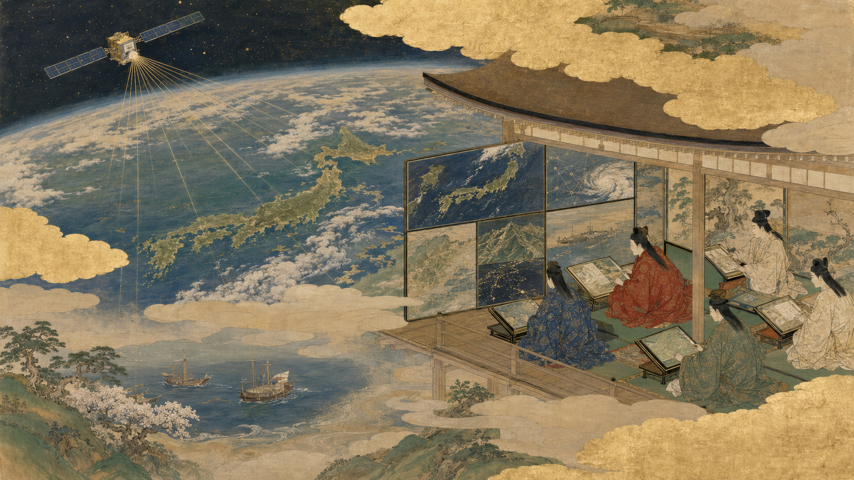
When satellite pictures stop being just pictures
At Spatial Edge: Japan on July 8, officials, satellite operators, defense companies, AI specialists and allied practitioners gathered inside SPACETIDE 2026 to discuss “GEOINT Without Borders.” The forum’s existence marked a shift: geospatial intelligence in Japan is moving from a specialized government function toward a market where commercial satellites, cloud computing and AI supply critical pieces.
USGIF defines a professional community spanning industry, academia and government. Its Tokyo agenda addressed interoperability, data sharing, AI analytics, maritime and climate applications, allied security and workforce training. Speakers came from Japan, the United States, Europe, Australia, India and the wider Indo-Pacific.
The public sees a satellite image. A GEOINT system sees coordinates, time, sensor physics, confidence, movement and implications for a decision.
What GEOINT actually means
Geospatial intelligence is information about human activity and the physical world tied to location. Satellite imagery is one source, alongside aircraft, drones, maps, weather, radar, vessel broadcasts, mobile sensors and public records.
The process usually includes collection, geolocation, calibration, change detection, fusion, interpretation and dissemination. An image of ships becomes intelligence when analysts determine which ships, where, when, whether they moved, what confidence supports the conclusion and who needs to act.
Commercial Earth observation supplies more frequent and diverse collection. AI helps search it. Neither eliminates analysis, source evaluation or accountability.
Japan’s path from secret satellites to commercial constellations
Japan created its Information Gathering Satellite program after North Korea’s 1998 missile launch over the country. Government-owned optical and radar spacecraft gave national leaders an independent reconnaissance capability, but the program was highly classified and separated from ordinary commercial markets.
Two decades later, Japanese startups operate or build radar and optical constellations. Synspective, QPS Institute and Axelspace can revisit targets more often than a small number of exquisite government satellites. Commercial imagery is also easier to share with ministries, local governments, researchers and allies when licensing permits.
The result is not privatization of intelligence. It is a hybrid architecture: sovereign systems for the most sensitive missions, allied systems for shared coverage and commercial services for capacity, speed and unclassified collaboration.
Why synthetic-aperture radar matters to Japan
Optical satellites depend on reflected sunlight and clear skies. Synthetic-aperture radar sends microwave energy and records the echo, operating at night and through most cloud. Japan’s typhoons, rainy seasons and maritime environment make radar especially useful.
JAXA built long radar heritage through JERS and ALOS missions. Commercial Japanese SAR firms now turn that heritage into smaller spacecraft and higher revisit. They can map flood extent, ground deformation, ships and infrastructure even when weather hides the scene.
Radar is not an X-ray. Dense vegetation, geometry, sea state and surface roughness affect returns. Interpretation requires sensor knowledge and comparison, which is why AI training data and expert validation matter.
AI changes the unit of work
Traditional imagery exploitation is labor-intensive. An analyst searches scenes, aligns dates and inspects changes. Constellations create more data than humans can examine manually. AI can detect vessels, buildings, roads, craters, fire scars or floodwater and prioritize unusual scenes.
JAXA and Japan’s AIST have explored AI analysis of satellite data using the ABCI supercomputer, including rapid disaster interpretation. Commercial cloud platforms now make similar workflows available to smaller organizations.
The important shift is from “one analyst, one image” to “one team supervising millions of detections.” That is a productivity revolution—and a quality-control problem.
How AI gets GEOINT wrong
Models fail when training data do not represent the sensor, season, geography or adversary. A ship detector trained on calm water may hallucinate targets in waves. A building model trained in Tokyo may miss informal settlements. Camouflage and deliberate deception add another layer.
Accuracy percentages can conceal operational danger. If a model scans one million objects with a one-percent false-positive rate, it may create ten thousand false alarms. Analysts need precision, recall, confidence calibration and consequences appropriate to the mission.
Generative AI can summarize reports but may invent details or erase uncertainty. High-stakes GEOINT requires provenance: which image, which model version, which corrections, which human approval.
The intelligence pipeline
| Stage | Question | Commercial role |
|---|---|---|
| Tasking | What should be observed, when and with which sensor? | Constellation scheduling and rapid-response contracts. |
| Collection | Did the sensor capture usable data? | Optical, SAR, RF and other commercial satellites. |
| Processing | Is data calibrated and accurately located? | Cloud pipelines, correction and orthorectification. |
| Exploitation | What changed or matters? | AI detection, fusion and human analysis. |
| Dissemination | Who may receive it and how fast? | APIs, dashboards and secure allied networks. |
| Decision | What action follows, at what confidence? | Customer responsibility; technology informs, not commands. |
Allied sharing is harder than collecting
The United States, Japan, Australia and other partners may observe the same event but classify sources and products differently. A national system can produce valuable intelligence that cannot be released. Commercial imagery offers a common unclassified layer, but contracts, export rules and user licenses still constrain sharing.
Interoperability has technical and institutional dimensions. Data formats, coordinates, metadata, APIs and security labels must align. Agencies must trust one another’s handling, analysts and cyber defenses.
Spatial Edge sessions emphasized policy barriers and trust frameworks because the fastest satellite is useless if its product waits inside a legal review queue.
The maritime Indo-Pacific
The region’s security and economy move by sea. Commercial imagery can monitor ports, chokepoints, fishing fleets, ship-to-ship transfers and changes on remote islands. Automatic Identification System data identify cooperative vessels but can be switched off or spoofed.
SAR detects metal structures and wakes at night and through cloud; optical imagery helps identify type and activity; radio-frequency satellites can geolocate emissions. Fusing them produces a stronger picture than any one sensor.
The same system supports illegal-fishing enforcement, oil-spill response and military awareness. That dual use makes customers diverse and governance essential.
Disaster response is GEOINT too
After an earthquake or typhoon, the questions resemble intelligence requirements: where are roads blocked, bridges damaged, settlements isolated and floodwaters rising? The customer is a disaster agency rather than a military commander, but the geospatial tradecraft is similar.
Commercial constellations can add capacity when government satellites are unavailable. AI can compare before-and-after imagery and rank likely damage. Local knowledge is still necessary to distinguish a destroyed structure from one already absent.
Unclassified disaster products are an ideal field for allied cooperation because they can be shared widely and exercised before crisis.
Economic intelligence enters the market
Satellite data can estimate oil storage, construction, factory activity, crop conditions, port congestion and retail traffic. Hedge funds and commodity traders have long sought alternative data; manufacturers and insurers increasingly use it operationally.
This blurs categories. The same vessel count can support naval awareness, supply-chain planning or market speculation. Customers may value speed more than perfect accuracy, but financial decisions still demand transparent methodology.
Japan’s trading houses, banks, shipping firms and manufacturers give Tokyo a strong user base. Commercial GEOINT reaches the mainstream when these non-space companies budget for it repeatedly.
From selling images to selling answers
Raw imagery is becoming commoditized as more satellites launch. Providers differentiate through revisit time, latency, sensor diversity, analytics and integration into customer workflows.
A coast guard does not want terabytes; it wants a prioritized list of suspicious vessels. An insurer wants damaged-building estimates. A railway wants slope movement near tracks. Product design begins with the decision, then works backward to sensors.
Japanese firms must decide whether to remain data wholesalers, build vertical applications or partner with analytics companies. Each position has different margins and customer relationships.
Security demand can save—and distort—startups
Defense contracts are large, sticky and willing to pay for assured capacity. They can finance constellations before civilian markets mature. Japan’s government has increasingly treated commercial space as part of national resilience.
Dependence on one security customer can bend a product roadmap, restrict exports and make revenue vulnerable to budgets. Secrecy may prevent a company from demonstrating performance to commercial buyers.
A balanced company can use defense demand to build infrastructure while preserving civil products, international markets and ethical boundaries. That balance is managerial, not automatic.
Responsible AI and the human domain
Spatial Edge closed with workforce and human-machine teaming. Analysts do more than label objects. They ask whether a request is lawful, recognize cultural context, challenge a model and communicate uncertainty to leaders.
Responsible AI requires testing for bias and geographic drift, logging model decisions, protecting sensitive training data and maintaining appeal paths. Automation should make uncertainty visible rather than hide it behind a confident interface.
Japan needs people who combine remote sensing, machine learning, regional languages, maritime knowledge and policy. No single degree supplies the whole tradecraft.
Privacy in an age of daily observation
Most commercial satellites cannot identify a face, but repeated observation can reveal construction, vehicles, farm activity and patterns around sensitive facilities. Higher resolution and cross-source fusion increase inference.
National remote-sensing rules, customer screening and restrictions on sensitive areas vary. Democratic legitimacy depends on explaining what is collected, who accesses it and how errors are corrected.
The fact that imagery is taken from space does not make every use harmless. Commercial mainstreaming should be accompanied by mainstream oversight.
What Japan must build next
Japan needs more than satellites: secure cloud infrastructure, common standards, rapid procurement, ground stations, labeled training data and users trained to pose good questions. Launch and observation capacity must connect to decisions within minutes.
Allied exercises should test commercial tasking and data release before emergencies. Government should buy service outcomes, not only subsidize hardware. Companies need predictable rules for export, security and privacy.
Spatial Edge showed that commercial imagery, AI and allied cooperation now occupy the same room. The next stage is operational: a Japanese sensor collects, an allied system shares, an AI prioritizes, a human verifies and a decision improves. GEOINT enters the mainstream when that chain works routinely—and when society can see who remains accountable.
Sources and further reading
- USGIF Spatial Edge: Japan — agenda, speakers and allied GEOINT themes.
- SPACETIDE 2026 — commercial-space and dual-use program context.
- JAXA–AIST AI satellite-data initiative — ABCI and automated disaster analysis.
- Cabinet Office National Space Policy — Japan’s policy and security context.
- Japan Ministry of Defense — national defense and space policy context.
- USGS geospatial programs — civil geospatial standards and applications.