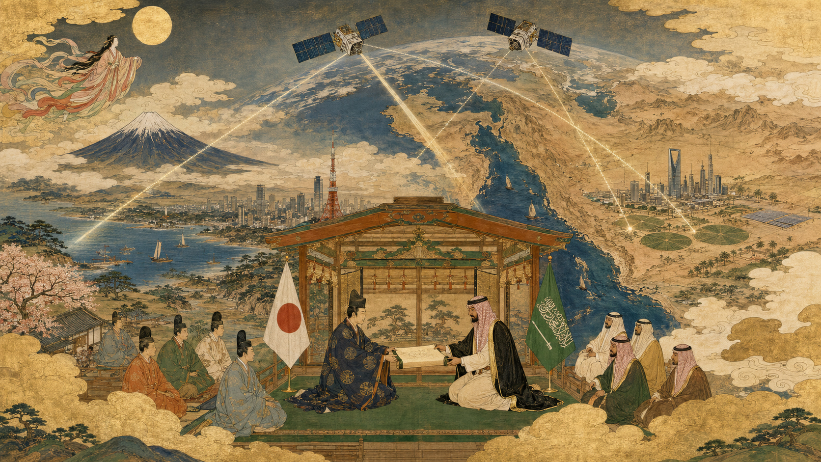
A bridge for data, not a sale of satellites
Axelspace has entered a partnership connecting its Japanese optical Earth-observation imagery with Saudi Arabia’s Neo Space Group and its geospatial platform company UP42. The commercial logic is distribution: make AxelGlobe data easier to discover, order and use for customers in Saudi Arabia and the wider region.
No Saudi purchase of GRUS spacecraft, transfer of satellite control or construction of a joint constellation has been announced. The agreement is best understood as a bridge between an upstream Japanese data producer and a Saudi-owned downstream route to market.
Untangling the names
Axelspace is the Tokyo microsatellite company behind the GRUS optical constellation and AxelGlobe imagery service. Neo Space Group, or NSG, is a Saudi space-services company backed by the Public Investment Fund. UP42 is its geospatial data and analytics platform business.
UP42 began in Berlin as an Airbus-founded venture intended to make imagery and processing easier to buy through one interface. NSG’s acquisition placed that international platform inside a Saudi group seeking Earth-observation capabilities. The Axelspace relationship adds another data source and a Japanese industrial connection.
Why an imagery platform exists
Satellite data once moved through bespoke contracts, specialist sales teams and physical archives. A buyer had to know which operator covered a target, negotiate licensing, submit a tasking request, wait for collection and then adapt a proprietary file format.
A platform aggregates catalogs and ordering. Through a web interface or application programming interface, customers can search archives, request new acquisitions, receive standardized metadata and connect imagery to software. It resembles a cloud marketplace more than a launch company.
The platform does not erase differences among sensors. It lowers the transaction cost of discovering and combining them.
The Earth-observation value chain
| Layer | Role | Examples in this partnership |
|---|---|---|
| Space | Collect reflected light from orbit | Axelspace GRUS constellation |
| Ground | Command, receive and process | Axelspace and station partners |
| Platform | Catalog, order, license and deliver | UP42 |
| Regional market | Local relationships, compliance and support | Neo Space Group |
| Application | Turn pixels into decisions | Saudi agencies and businesses |
Most economic value is created only when every layer works. A satellite can capture an excellent image that no customer can find; a polished marketplace cannot compensate for stale or unsuitable data.
Saudi Arabia’s demand is visible from orbit
The Kingdom is large, sparsely populated in many regions and changing rapidly under Vision 2030. Satellite imagery can monitor construction, transport corridors, renewable-energy sites, coastlines, desertification, agriculture and environmental restoration without sending survey crews everywhere.
Megaprojects create demand for progress measurement and independent records. Oil, gas, power and water networks require corridor surveillance. Red Sea and Gulf coastlines bring ports, reefs, erosion and maritime activity into view. Optical imagery supplies intuitive context across all of them.
Water and agriculture in an arid country
Saudi agriculture depends heavily on groundwater and managed irrigation. Repeated multispectral imagery can map crop extent, vegetation condition, field rotation and the expansion or retirement of centre-pivot farms.
But colour is not water volume. Analysts combine satellite reflectance with weather, soil, irrigation records and field measurements. A green field may indicate healthy crops, weeds or different planting dates. The platform’s value grows when raw scenes are connected to agronomic models and local expertise.
Cities and megaprojects: measure change, not publicity
Frequent imagery can show earthworks, road connections, building footprints and land-cover change. It offers a consistent time-stamped record across projects too large for one inspection team.
Ground resolution limits which construction details are visible, and off-nadir viewing changes building appearance. Progress claims still require engineering records. Satellite observation is strongest as a screening, documentation and comparison tool—not a replacement for structural inspection.
Energy and infrastructure corridors
Pipelines, transmission lines, solar farms, roads and railways stretch across remote terrain. Optical imagery can identify new construction, encroachment, erosion, flooding and access-route change. Automated software can prioritize segments for closer review.
Some threats are too small or hidden to see. Gas leaks, subsurface failure and night-time events need other instruments. Radar, thermal sensors, aircraft, drones and in-situ equipment complement optical satellites.
Environmental monitoring and restoration
Repeated observation can measure vegetation recovery, dune movement, coastal development, wetland condition and land disturbance. It can also provide evidence for conservation commitments and carbon projects.
Credible environmental reporting needs baselines, consistent calibration and transparent methods. A marketplace makes data accessible; it does not automatically make an environmental claim scientifically valid.
Why GRUS may fit the region
Arid landscapes are often cloud-free, improving the probability that an optical pass produces usable data. Strong contrast among bare ground, vegetation, water and built surfaces can support mapping. A constellation adds repeat opportunities for fast-changing projects.
Dust, haze, extreme brightness and seasonal sun angle still complicate interpretation. Saudi targets also sit below the north-of-25-degrees daily-revisit boundary promoted for the expanded GRUS-3 service in many places, so buyers should request target-specific access statistics rather than assume one global frequency.
From Japan’s government satellites to commercial exports
Japan built Earth-observation competence through MOS, JERS, ADEOS and ALOS government missions. Those programs trained engineers, created calibration and ground-processing knowledge, and demonstrated disaster and mapping uses.
Axelspace represents the newer commercial layer: smaller standardized satellites, rideshare launches, subscription data and APIs. Exporting imagery through a platform is different from exporting a complete spacecraft. It can begin faster, spread one constellation across many customers and generate recurring revenue.
The Middle East as a competitive EO market
The region is not new to space imagery. Governments have purchased international data for decades, while the United Arab Emirates and others have developed domestic observation satellites and analytic capacity. Global operators compete on resolution, revisit, price, licensing and sovereign control.
Axelspace therefore enters a market with experienced buyers. Its advantage must be operational: suitable imagery, dependable delivery, flexible terms and integration—not novelty alone.
Saudi Arabia is building both agency and industry
The Saudi Space Agency leads national space ambitions, while the Communications, Space and Technology Commission regulates the sector. CST introduced an Earth-observation platform-service permit, and NSG received the first such authorization. That makes licensing part of the commercial architecture.
NSG’s role reflects a broader Vision 2030 strategy: develop domestic digital and space businesses rather than remain only an end-user of foreign technology. Whether that produces local analytics, skilled jobs and exportable services will matter more than the number of partnership announcements.
Why Japan wants a local bridge
Satellite operators often underestimate sales friction: Arabic support, procurement rules, data sovereignty, security review, payment, liability and customer training. A regional partner can translate both language and institutions.
For a Japanese startup, platform distribution can reach customers without building a large Riyadh sales and technical organization immediately. The trade-off is dependence on an intermediary and competition beside other imagery suppliers in the same catalog.
Licensing, sovereignty and dual use
Earth imagery serves farms and construction, but it can also reveal ports, military installations and border activity. Governments regulate resolution, tasking, redistribution and access during crises. Commercial contracts define who may store, modify and share a scene.
Saudi customers may care where data is hosted and who can access tasking records. Japanese rules and operator policies also apply. A credible bridge needs clear governance, cybersecurity, audit logs and emergency procedures—not simply an API connection.
Data marketplaces and the cloud-computing lesson
Cloud platforms changed computing by letting customers rent capacity instead of buying every server. Geospatial marketplaces aim for a similar shift: users query observations when needed and combine multiple providers in software.
But satellite supply is physically constrained. Clouds obscure optical targets, orbits limit access and premium tasking conflicts. A marketplace can make scarcity visible and manageable; it cannot virtualize another pass over yesterday.
What success should look like
| Claim | Metric | Question |
|---|---|---|
| Market access | Saudi and regional customers using GRUS | Are contracts recurring? |
| Fast delivery | Collection-to-platform latency | Is it fast enough for the decision? |
| Local value | Saudi analysts, applications and firms | Are capabilities growing locally? |
| Useful coverage | Cloud-free and target-access rates | Does performance match each site? |
| Japanese export growth | Revenue and follow-on partnerships | Is this scalable beyond one announcement? |
What to watch next
Watch for GRUS imagery appearing in UP42’s searchable catalog, published coverage and licensing terms, named Saudi applications, pilot projects and repeat commercial orders. Look also for Arabic-language support, local processing and training.
The partnership matters because it moves Japanese Earth observation one step closer to a customer’s workflow. Satellites create pixels in orbit; markets are built on the ground, through the less glamorous work of permits, platforms, contracts and trust.
Sources and further reading
- Axelspace News — partnership announcement and AxelGlobe program updates.
- Neo Space Group — Saudi group strategy and businesses.
- UP42 — geospatial marketplace, data and platform services.
- Saudi Communications, Space and Technology Commission — space regulation and Earth-observation platform permits.
- Saudi Space Agency — national space-sector context.
- Saudi Vision 2030 — economic-diversification framework.
- JAXA ALOS-3 — Japan’s optical Earth-observation heritage.